Chichilianne Tower
Add to my favorites

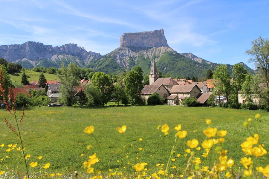
A pleasant walk to discover the village of Chichilianne nestled at the foot of Mont-Aiguille, ideal for a family outing!
The characteristics of the route.

Chichilianne (38)
- Distance 3.85 km
- Elevation gain 140 m
- Elevation lost 140 m
- Min. elevation 968 m
- Max. elevation. 1045 m
- Duration (depending on pace) 3h
- Marking Yes
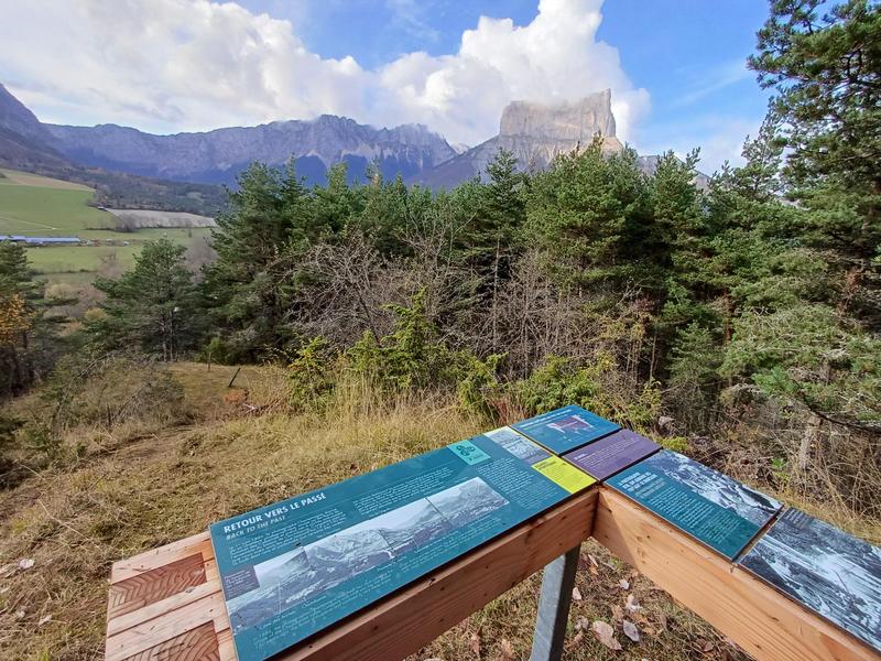
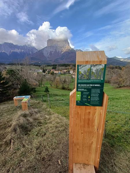
This rather strenuous hike takes you around the village of Chichilianne, along various ridges with magnificent views. There are several educational panels along the way.Marking : Yellow and green line markingsEquipments : Car park, Free car park, Admission fee : Free access.Opening : All year round.Step by step description : Departure: You start your walk from the Place de la Fontaine in Chichilianne (parking lot), next to the church and the tourist information point, "Chichilianne" signpost.
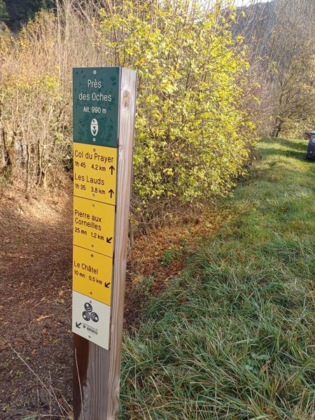
1) From the "Chichilianne" post, head towards "Près des Oches", taking the road that passes in front of the town hall towards the east entrance to the village.
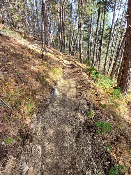
2) At the "Près des Oches" signpost, take the track that descends to the left and fords the river, then, a few metres further on, turn left for a steep climb on a pretty little path through the forest. The path soon becomes less steep (phew!) and leads to the summit (post "Le Châtel"). Enjoy the view and the information panels!
3) Descend to "Chevalanche", then turn right to "Pierre aux Corneilles" through the hamlet of Château-Vieux. A short climb brings you to the "Pierre aux Corneilles" signpost (with a bench in the shade for a short break!).
4) Follow the ridge due west towards the "Les Crêtes" post and continue along the ridge towards "Le Cros". You'll come across the D7B road, so keep going straight ahead, then cross the river on your left.
5) From "Le Cros", follow the track towards "Le Rapon" then "Chichilianne" to reach your starting point.
Area : Trièves
Report a problem
Website Chichilianne Tower_Chichilianne Features of the application :
- Location and orientation on detailed maps thanks to the GPS of your smartphone
- Description of routes and points of interest on the route
- Photo gallery by route
- Detailed elevation profile
- Route tracking alert to warn you if you stray from the route
- Send predefined messages by SMS to your contacts
- Emergency module: trigger a call or send an emergency SMS in case of problem
- Agenda: access to events organized in the department
- News: find in the application the latest news on the web portal
- Adding achievements
- Add reports in case of problems encountered on the routes
- Share on social networks
Add your time and share your feelings
Services nearby

Point d'information Chichilianne
Chichilianne

Foyer nordique de Chichilianne
Chichilianne
Foyer nordique de Gresse-en-Vercors
Gresse-en-Vercors

Espace Giono
Lalley
Bureau d'Informations Touristiques de Gresse en Vercors - Office de Tourisme du Trièves
Gresse-en-Vercors


Information updated on 2025-01-14 by Office de Tourisme du Trièves


Follow us on
the digital trails
the digital trails


![]()
The Isère Outdoor application was created
by the Département de l'Isère
Infos & contact
Conseil départemental de l'Isère
7 rue Fantin Latour
CS 41096
38 022 Grenoble cedex 1
Tel. 04 76 00 38 38
 Isère Outdoor - Parcours - Chichilianne Tower
Hello, world! This is a toast message.
Isère Outdoor - Parcours - Chichilianne Tower
Hello, world! This is a toast message.
Isère Outdoor - Parcours - Chichilianne Tower
Hello, world! This is a toast message.


OK
Annuler