York Mallory - Hiking from Rivier d'Allemond
Add to my favorites

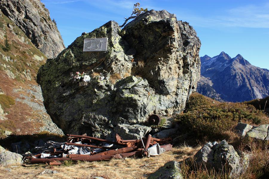
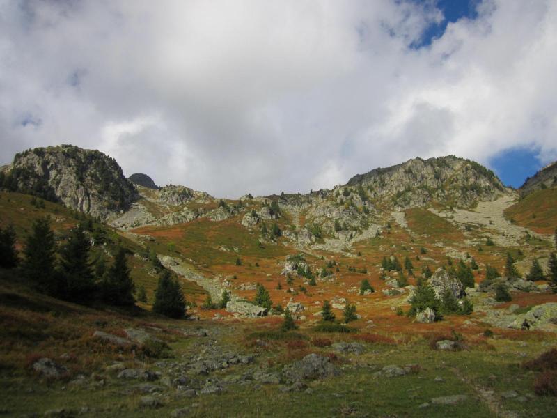
This hike takes you up to the place where the Chief Marshal of the Allied air forces died in a mysterious air crash above Le River d'Allemond in June 1944.
The characteristics of the route.

Allemond (38)
- Distance 7.04 km
- Elevation gain 770 m
- Elevation lost 770 m
- Min. elevation 1265 m
- Max. elevation. 2030 m
- Duration (depending on pace) 4h30
- Marking Yes
TECHNICAL INFORMATION
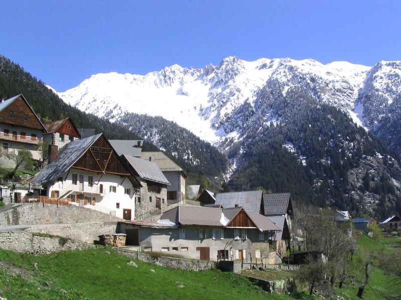
Departure point: Rivier d'Allemond (Musée du Bouquetin - Espace York MAllory)
Ascent: 747 m
Distance: 3.6 km one way
Level: moderate
ITINERARY
Parking is available in the parking lot opposite the Musée du Rivier.
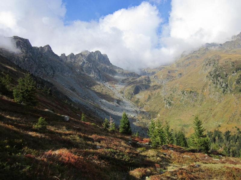
From Le Rivier, walk from the church and follow the tarmac road to the Bruyant stream. From here, take the path that rises steeply through a forest of spruces and hardwoods to exit at 1700 m.
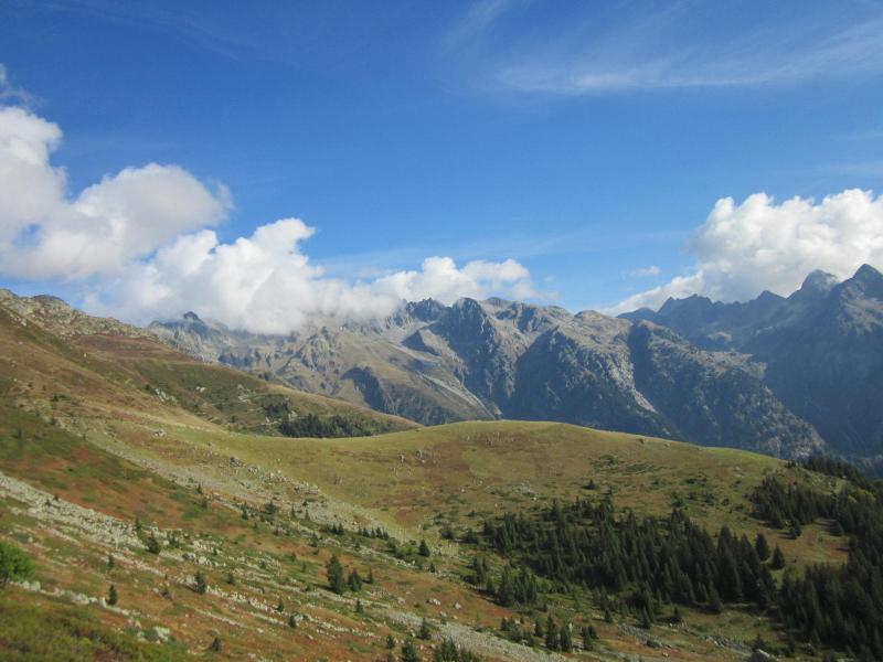
Continue due west through rhododendron and bilberry vegetation.
This leads to a well-marked, easy-to-follow path that climbs up several rocky steps.
This passage requires attention but is not technically difficult.
Pieces of the wreck are gradually revealed. Climb back up to the commemorative plaque (2100 m).
On the return journey (which takes the same route), a visit to the Maison du Bouquetin and the York Mallory space is a must.Good plans : After the walk, a visit to the Museum is a must. Free and open weekends from 15/06 to 30/06 and from 1 to 15 September. And daily in July and August from 11.15am to 1pm and from 2pm to 5.30pm.Admission fee : Free access.Opening : From 01/05 to 31/10 daily. Subject to favorable snow and weather conditions.Warning : As this route is potentially subject to severe damage due to major weather events and its viability may be uncertain, please enquire before embarking on it.
Departure point: Rivier d'Allemond (Musée du Bouquetin - Espace York MAllory)
Ascent: 747 m
Distance: 3.6 km one way
Level: moderate
ITINERARY
Parking is available in the parking lot opposite the Musée du Rivier.
From Le Rivier, walk from the church and follow the tarmac road to the Bruyant stream. From here, take the path that rises steeply through a forest of spruces and hardwoods to exit at 1700 m.
Continue due west through rhododendron and bilberry vegetation.
This leads to a well-marked, easy-to-follow path that climbs up several rocky steps.
This passage requires attention but is not technically difficult.
Pieces of the wreck are gradually revealed. Climb back up to the commemorative plaque (2100 m).
On the return journey (which takes the same route), a visit to the Maison du Bouquetin and the York Mallory space is a must.Good plans : After the walk, a visit to the Museum is a must. Free and open weekends from 15/06 to 30/06 and from 1 to 15 September. And daily in July and August from 11.15am to 1pm and from 2pm to 5.30pm.Admission fee : Free access.Opening : From 01/05 to 31/10 daily. Subject to favorable snow and weather conditions.Warning : As this route is potentially subject to severe damage due to major weather events and its viability may be uncertain, please enquire before embarking on it.
Report a problem
Website Features of the application :
- Location and orientation on detailed maps thanks to the GPS of your smartphone
- Description of routes and points of interest on the route
- Photo gallery by route
- Detailed elevation profile
- Route tracking alert to warn you if you stray from the route
- Send predefined messages by SMS to your contacts
- Emergency module: trigger a call or send an emergency SMS in case of problem
- Agenda: access to events organized in the department
- News: find in the application the latest news on the web portal
- Adding achievements
- Add reports in case of problems encountered on the routes
- Share on social networks
Add your time and share your feelings
Services nearby

Ibex museum - Space York Mallory
Allemond

Refuge le Habert d'Aiguebelle
Laval
Refuge Jean Collet
Sainte-Agnès
Vaujany museum
Vaujany

Office de Tourisme de Vaujany
Vaujany


Follow us on
the digital trails
the digital trails


![]()
The Isère Outdoor application was created
by the Département de l'Isère
Infos & contact
Conseil départemental de l'Isère
7 rue Fantin Latour
CS 41096
38 022 Grenoble cedex 1
Tel. 04 76 00 38 38
 Isère Outdoor - Parcours - York Mallory - Hiking from Rivier d'Allemond
Hello, world! This is a toast message.
Isère Outdoor - Parcours - York Mallory - Hiking from Rivier d'Allemond
Hello, world! This is a toast message.
Isère Outdoor - Parcours - York Mallory - Hiking from Rivier d'Allemond
Hello, world! This is a toast message.


OK
Annuler