Les 7 Laux Refuge and Lakes via Fond de France
Add to my favorites

Caution! Zone of vigilance near the route
Aigle royal - du 01/01/2026 au 31/08/2026 In progress
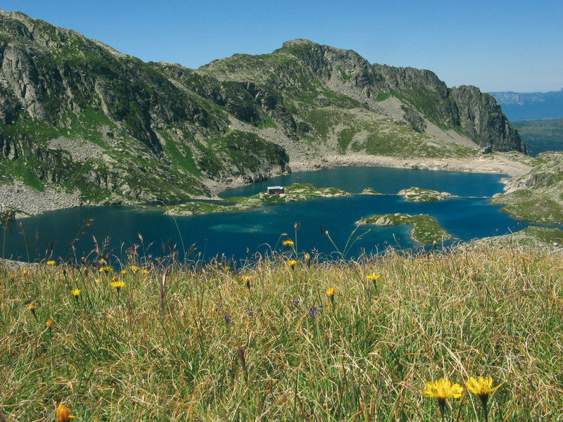
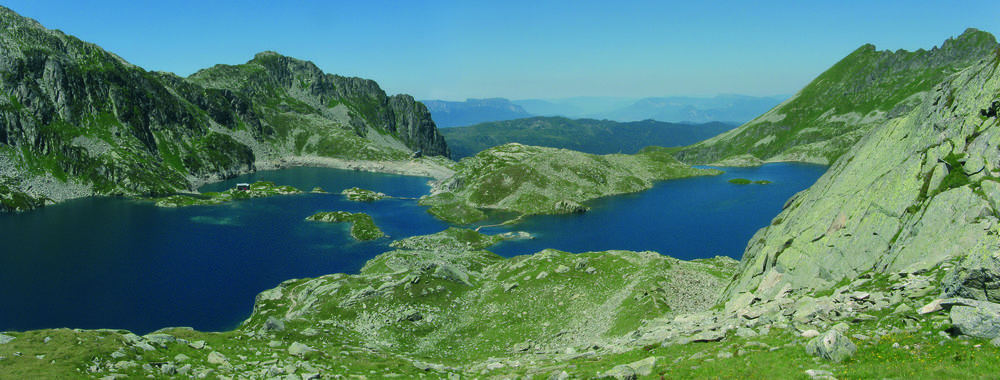
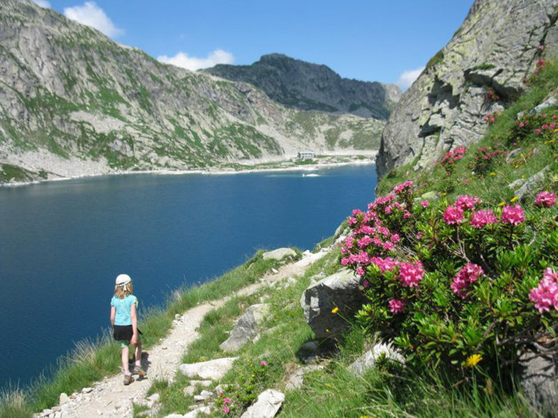
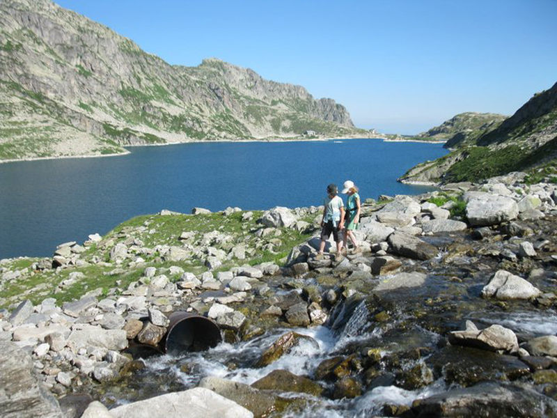
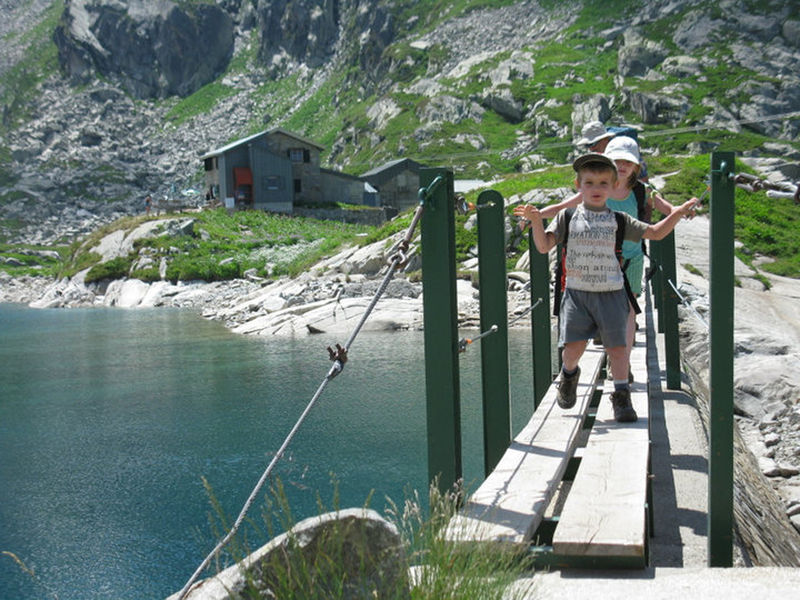
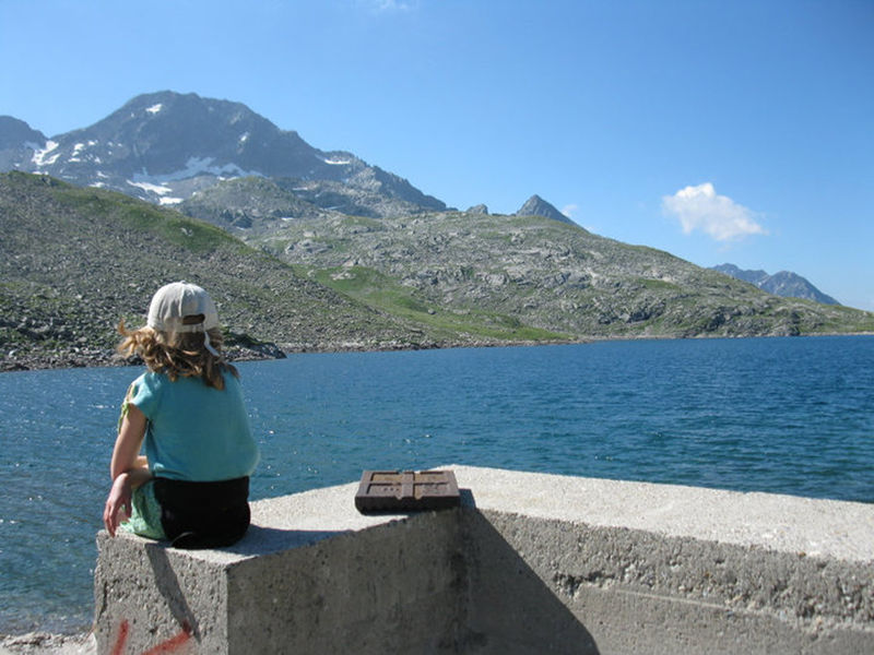
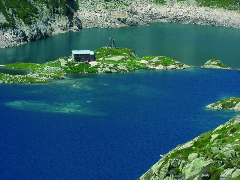
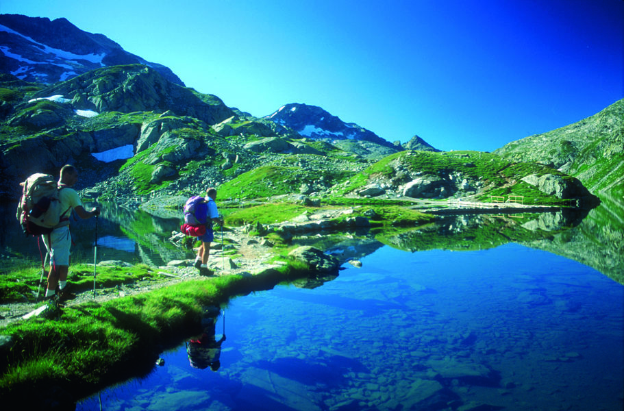
The ascent to the 7 Laux refuge is a hike which will take you through magnificent scenery. Getting to the lakes is well worth the effort and you will have to hike up the mountain to reach the plateau and the refuge.
The characteristics of the route.

La Ferrière (38)
- Distance 12.9 km
- Elevation gain 1100 m
- Elevation lost 1100 m
- Min. elevation 1070 m
- Max. elevation. 2138 m
- Duration (depending on pace) 6h
- Marking Yes
Features of the application :
- Location and orientation on detailed maps thanks to the GPS of your smartphone
- Description of routes and points of interest on the route
- Photo gallery by route
- Detailed elevation profile
- Route tracking alert to warn you if you stray from the route
- Send predefined messages by SMS to your contacts
- Emergency module: trigger a call or send an emergency SMS in case of problem
- Agenda: access to events organized in the department
- News: find in the application the latest news on the web portal
- Adding achievements
- Add reports in case of problems encountered on the routes
- Share on social networks
Add your time and share your feelings
Services nearby

Bureau d'Information Touristique du Pleynet / Les 7 Laux - Office de Tourisme Belledonne Chartreuse
Les Sept Laux Le Pleynet

Refuge des 7 Laux
Le Haut-Bréda
Mountain refuge Combe Madame
Le Haut-Bréda
Crêt du Poulet refuge
Crêts en Belledonne
Refuge de l'Oule
Le Haut-Bréda


Information updated on 2024-04-04 by Office de Tourisme de Belledonne Chartreuse


Follow us on
the digital trails
the digital trails


![]()
The Isère Outdoor application was created
by the Département de l'Isère
Infos & contact
Conseil départemental de l'Isère
7 rue Fantin Latour
CS 41096
38 022 Grenoble cedex 1
Tel. 04 76 00 38 38
 Isère Outdoor - Parcours - Les 7 Laux Refuge and Lakes via Fond de France
Hello, world! This is a toast message.
Isère Outdoor - Parcours - Les 7 Laux Refuge and Lakes via Fond de France
Hello, world! This is a toast message.
Isère Outdoor - Parcours - Les 7 Laux Refuge and Lakes via Fond de France
Hello, world! This is a toast message.


OK
Annuler