Parcours de découverte de l'ENS de l'étang de Lemps
Add to my favorites

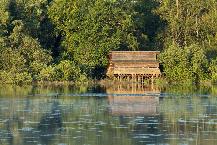
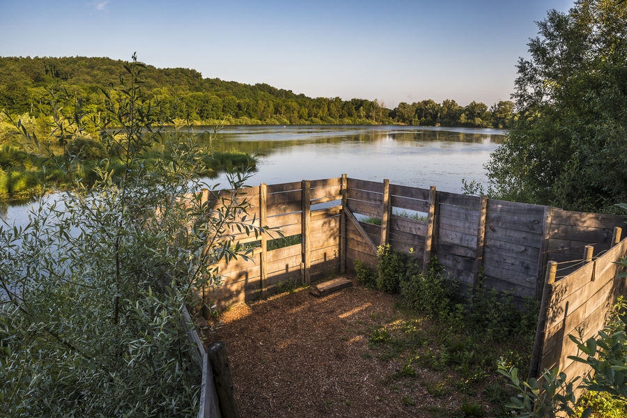
This hilly itinerary is a roller-coaster trip for expert mountain-bikers and seasoned hikers. Features: the lakes (étangs) of Ry, Bas, Bénétan, Gilieu, etc., Carisieu chapel, Siccieu belltower and the Château de St-Jullin.
The characteristics of the route.

Optevoz (38)
- Distance 9.4 km
- Elevation gain 140 m
- Elevation lost 140 m
- Min. elevation 287 m
- Max. elevation. 373 m
- Marking Yes
From Dizimieu town hall - Le Janay - La Bonardelle - Faye - Etang de Gilieu - Etang de Bas - Siccieu - Carizieu Grand Pré - Etang de Bénétan - Faye - La Bonardelle - Le Janay - Dizimieu.Marking : Yellow markers.Delicate passages : Physically & technically challengingOpening : From 01/01 to 31/12.
Area : Balcons du Dauphiné
Report a problem
Pdf file TOPO_parcours de découverte de l'ENS de l'Etang de Lemps Features of the application :
- Location and orientation on detailed maps thanks to the GPS of your smartphone
- Description of routes and points of interest on the route
- Photo gallery by route
- Detailed elevation profile
- Route tracking alert to warn you if you stray from the route
- Send predefined messages by SMS to your contacts
- Emergency module: trigger a call or send an emergency SMS in case of problem
- Agenda: access to events organized in the department
- News: find in the application the latest news on the web portal
- Adding achievements
- Add reports in case of problems encountered on the routes
- Share on social networks
Add your time and share your feelings
Services nearby

Etang de Lemps sensitive natural area
Optevoz
Salette Lake
Courtenay

Hières-sur-Amby Heritage Centre
Hières-sur-Amby
Sortie Lo Parvi : Découverte des libellules
Charette
Mineralogica - The mineral museum
Villemoirieu


Information updated on 2023-03-29 by Office du Tourisme Les Balcons du Dauphiné


Follow us on
the digital trails
the digital trails


![]()
The Isère Outdoor application was created
by the Département de l'Isère
Infos & contact
Conseil départemental de l'Isère
7 rue Fantin Latour
CS 41096
38 022 Grenoble cedex 1
Tel. 04 76 00 38 38
 Isère Outdoor - Parcours - Parcours de découverte de l'ENS de l'étang de Lemps
Hello, world! This is a toast message.
Isère Outdoor - Parcours - Parcours de découverte de l'ENS de l'étang de Lemps
Hello, world! This is a toast message.
Isère Outdoor - Parcours - Parcours de découverte de l'ENS de l'étang de Lemps
Hello, world! This is a toast message.


OK
Annuler