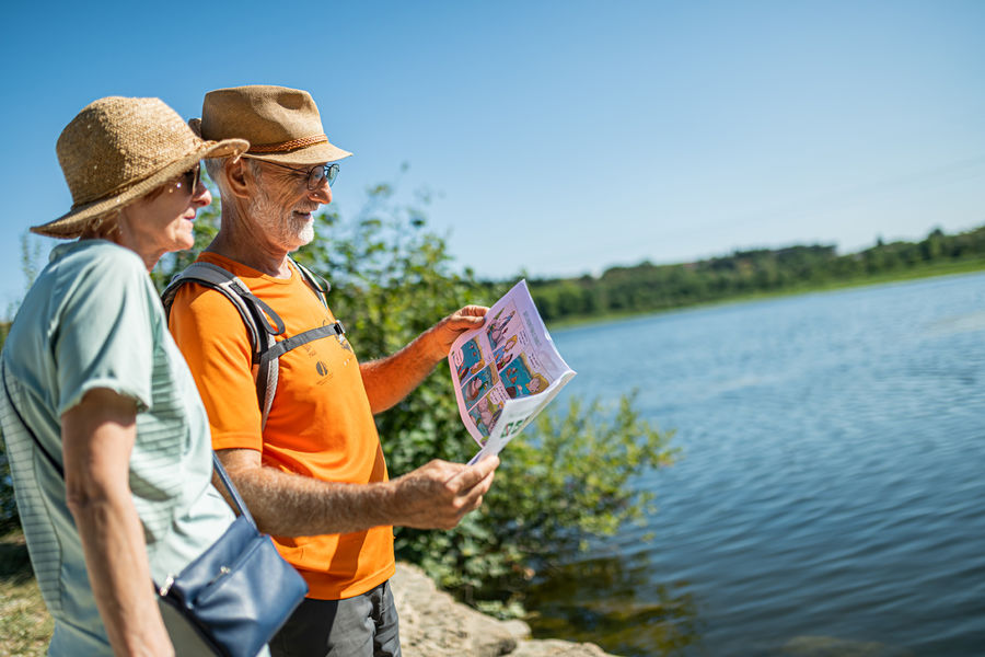
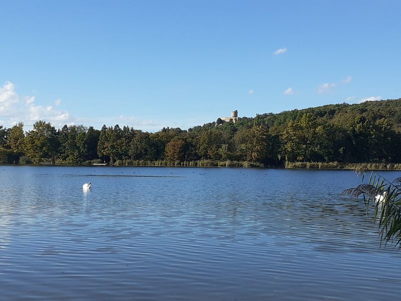
Balade ludique autour de l'étang de Fallavier
Add to my favorites

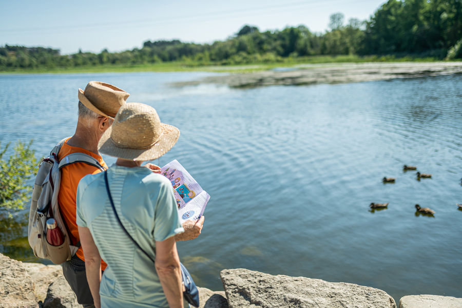
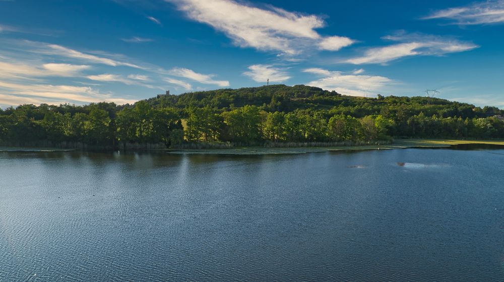
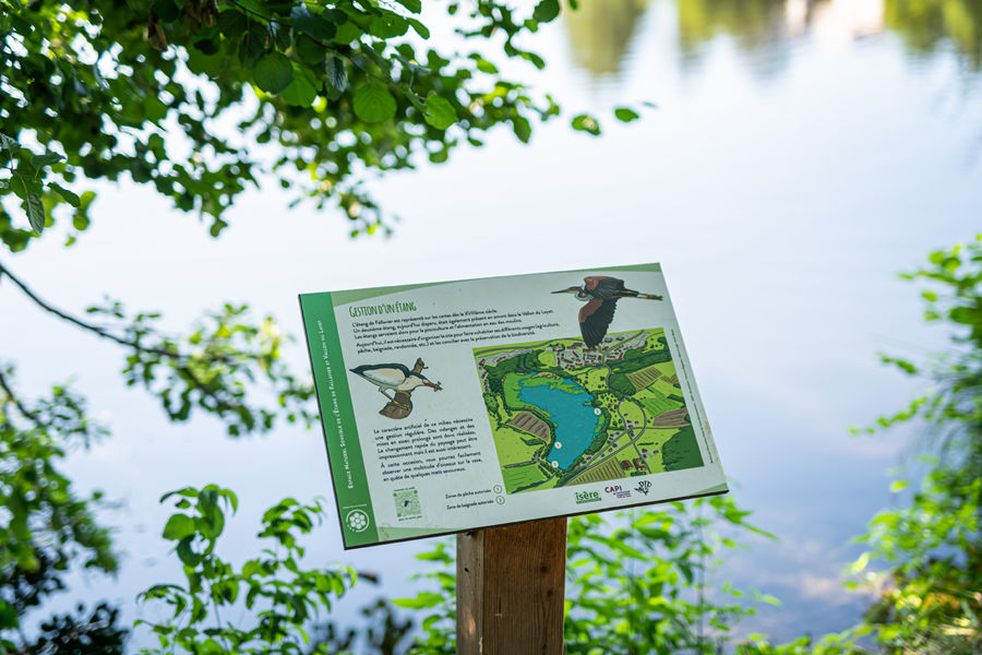
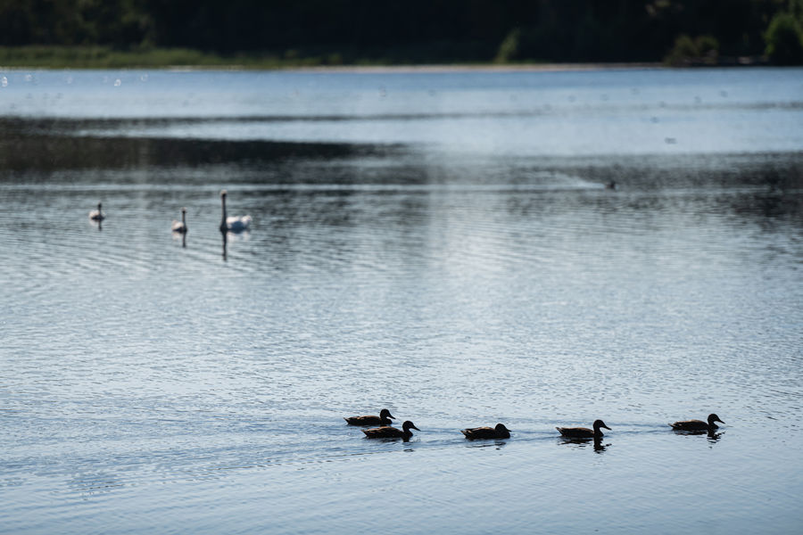
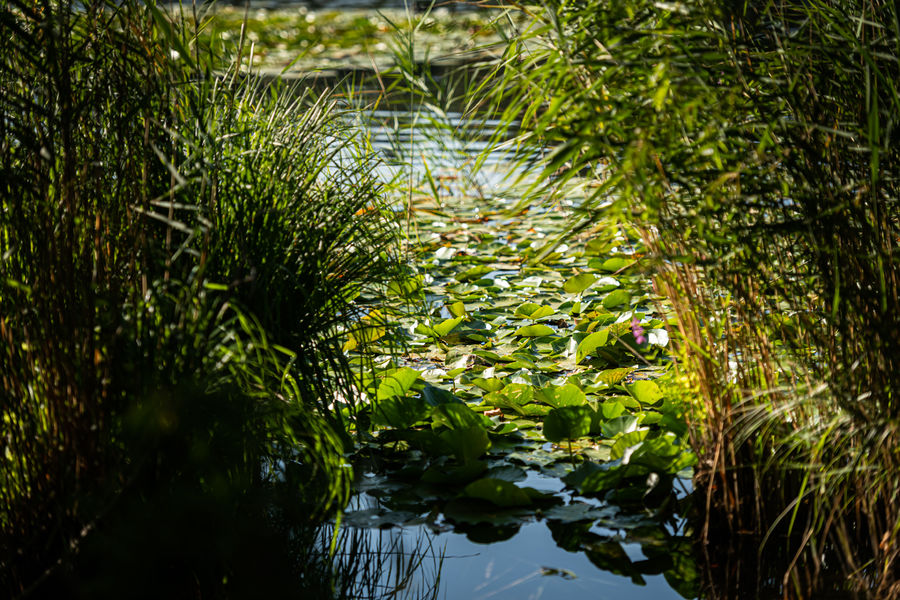
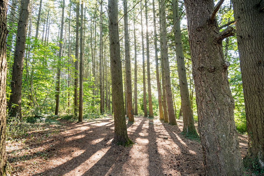
Dans un cadre paysager exceptionnel, observez une faune et une flore variées et protégées.
Le tour de l’étang vous prendra environ une heure et demi.
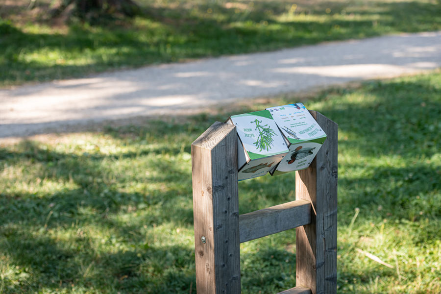
Une idée d'activité à faire en famille à l'aide d'un livret pédagogique gratuit.
The characteristics of the route.

Saint-Quentin-Fallavier (38)
- Distance 3.2 km
- Elevation gain 30 m
- Elevation lost 30 m
- Min. elevation 275 m
- Max. elevation. 292 m
- Duration (depending on pace) 1h30
- Marking Yes
Equipments : Car park, Admission fee : Free access.Opening : All year round.
Area : Porte de l'Isère
Report a problem
Website Features of the application :
- Location and orientation on detailed maps thanks to the GPS of your smartphone
- Description of routes and points of interest on the route
- Photo gallery by route
- Detailed elevation profile
- Route tracking alert to warn you if you stray from the route
- Send predefined messages by SMS to your contacts
- Emergency module: trigger a call or send an emergency SMS in case of problem
- Agenda: access to events organized in the department
- News: find in the application the latest news on the web portal
- Adding achievements
- Add reports in case of problems encountered on the routes
- Share on social networks
Add your time and share your feelings
Services nearby

Espace naturel sensible de l'étang de Fallavier et Vallon du Layet
Saint-Quentin-Fallavier

Musée de La Vie Rurale
Saint-Quentin-Fallavier

Office de Tourisme CAPI Porte de l'Isère
Bourgoin-Jallieu
Musée de Bourgoin-Jallieu
Bourgoin-Jallieu
Espace naturel sensible de l'étang de Montjoux
Saint-Jean-de-Bournay


Information updated on 2025-03-28 by Office de Tourisme CAPI - Porte de l'Isère


Follow us on
the digital trails
the digital trails


![]()
The Isère Outdoor application was created
by the Département de l'Isère
Infos & contact
Conseil départemental de l'Isère
7 rue Fantin Latour
CS 41096
38 022 Grenoble cedex 1
Tel. 04 76 00 38 38
 Isère Outdoor - Parcours - Balade ludique autour de l'étang de Fallavier
Hello, world! This is a toast message.
Isère Outdoor - Parcours - Balade ludique autour de l'étang de Fallavier
Hello, world! This is a toast message.
Isère Outdoor - Parcours - Balade ludique autour de l'étang de Fallavier
Hello, world! This is a toast message.


OK
Annuler