Presles un jour, Presles toujours
Add to my favorites

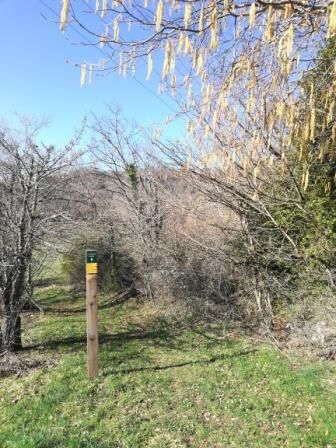
Au départ du hameau du Faz, une belle journée dans un coin secret du Vercors, les Coulmes...
The characteristics of the route.

Presles (38)
- Distance 18.7 km
- Elevation gain 800 m
- Elevation lost 810 m
- Min. elevation 839 m
- Max. elevation. 1279 m
- Marking Yes
Area : Massif du Vercors
Report a problem
Features of the application :
- Location and orientation on detailed maps thanks to the GPS of your smartphone
- Description of routes and points of interest on the route
- Photo gallery by route
- Detailed elevation profile
- Route tracking alert to warn you if you stray from the route
- Send predefined messages by SMS to your contacts
- Emergency module: trigger a call or send an emergency SMS in case of problem
- Agenda: access to events organized in the department
- News: find in the application the latest news on the web portal
- Adding achievements
- Add reports in case of problems encountered on the routes
- Share on social networks
Add your time and share your feelings
Services nearby

Foyer de ski de fond de Presles
Presles

Le Couvent des Carmes
Beauvoir-en-Royans

Espace Naturel Sensible des gorges du Nan
Cognin-les-Gorges
Foyer de ski de Rencurel
Rencurel

Bureau d'information touristique de Pont-en-Royans
Pont-en-Royans


Information updated on 2022-02-22 by Isère Cheval Vert


Follow us on
the digital trails
the digital trails


![]()
The Isère Outdoor application was created
by the Département de l'Isère
Infos & contact
Conseil départemental de l'Isère
7 rue Fantin Latour
CS 41096
38 022 Grenoble cedex 1
Tel. 04 76 00 38 38
 Isère Outdoor - Parcours - Presles un jour, Presles toujours
Hello, world! This is a toast message.
Isère Outdoor - Parcours - Presles un jour, Presles toujours
Hello, world! This is a toast message.
Isère Outdoor - Parcours - Presles un jour, Presles toujours
Hello, world! This is a toast message.


OK
Annuler