Tour de Villette
Add to my favorites

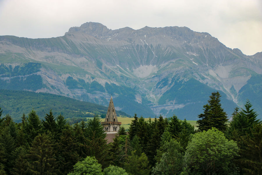
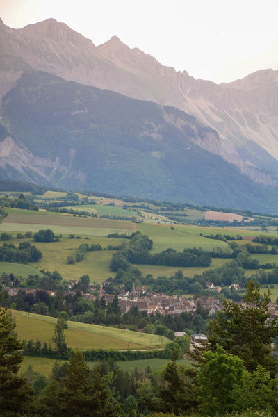
An ideal family outing that takes you to the heights of Mens. Through fields, forests and paths, you'll discover magnificent panoramas of the Dévoluy massif and the Vercors.
The characteristics of the route.

Mens (38)
- Distance 6 km
- Elevation gain 180 m
- Elevation lost 180 m
- Min. elevation 759 m
- Max. elevation. 903 m
- Duration (depending on pace) 2h
- Marking Yes
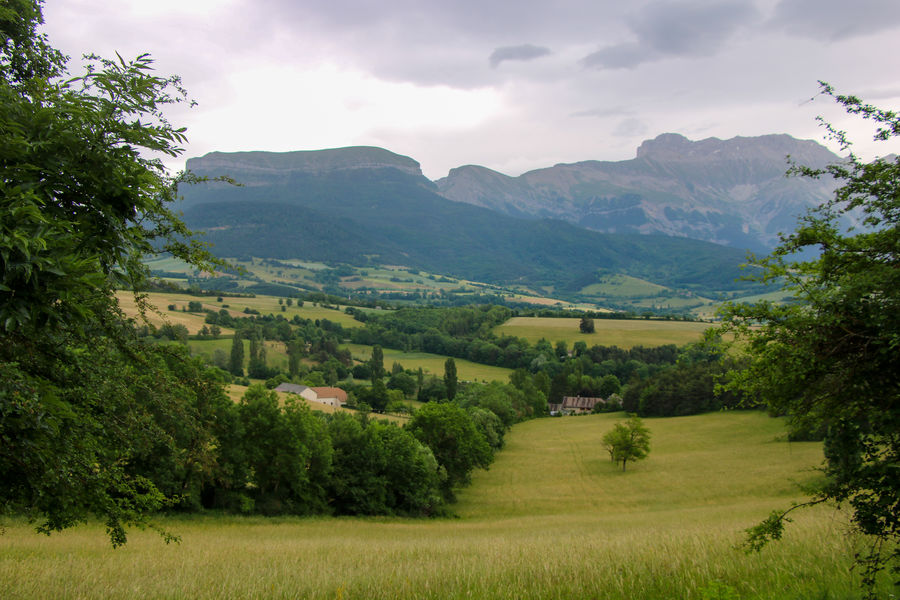
Set off on a family hike that will give you some of the best views of the village of Mens and its mountains. You'll follow a multitude of different paths through wheat fields, marshes and pine forests.
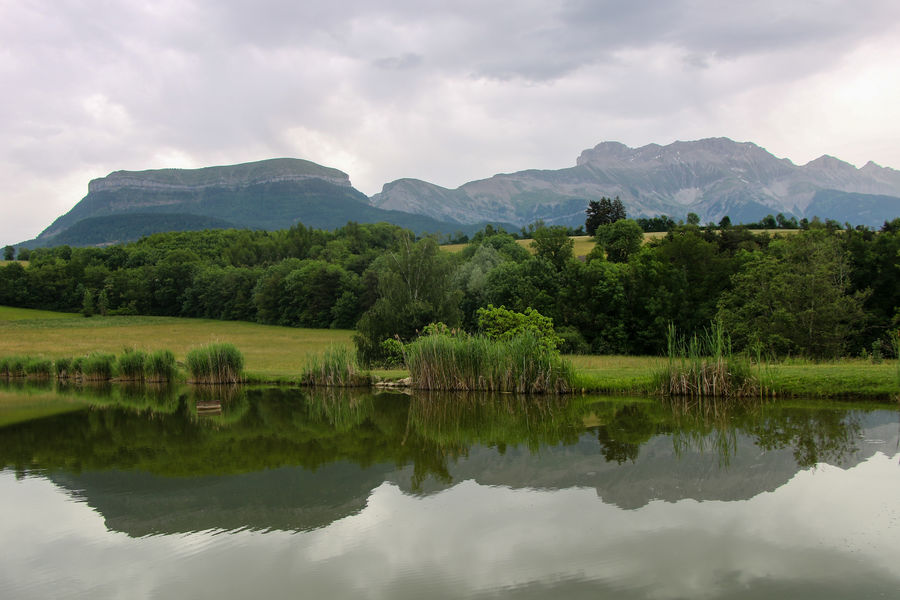
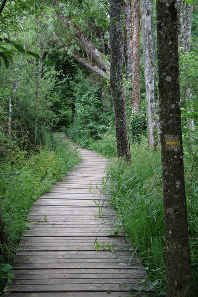
Give in to the temptation of this short stroll to admire the nature of the Trièves.Marking : The trail is marked with a yellow line (PR)Admission fee : Free access.Opening : All year round. Subject to favorable weather.Step by step description : Departure : You start your walk from Place Paul Brachet in the center of Mens village (signposted "Mens Centre"). Continue to the end of the square and down the Chemin des Planches to the waste disposal center. 1 - From the "déchetterie" post, turn left towards Etang du Marais. Further on, leave the left-hand path and follow the direction of the pond. Follow the shaded stilt path alongside the stream. Leave the path and turn left onto the road. You'll then come to the pond, where you can stop to enjoy the soothing surroundings. 2 - From the "Etang du Marais" signpost, take the forest track towards Villette. A steep climb through the pine forest awaits you. At the end of the wood you'll find fields, so don't forget to turn right towards Villette. Follow the path through the fields (with a magnificent view of Dévoluy) to the D526, where you climb towards the hamlet of Villette. 3 - From the "Villette" signpost, climb up to the farmhouse and take the path just behind it. This long country lane offers views of the surrounding peaks. At the end of the path, turn right onto the road. Follow the main road down to the "Vénos" sign, where you can enjoy the scenery. 4 - From "Venos", take the right-hand path towards "La Croix des Planches", a long descent awaits you as far as the "La Croix des Planches" sign. 5 - From the "Croix des Planches" post, head towards the "Déchetterie" post, which is visible in front of you. 6 - From the "déchetterie" post, head for "Mens Centre" along the same path as before.
Give in to the temptation of this short stroll to admire the nature of the Trièves.Marking : The trail is marked with a yellow line (PR)Admission fee : Free access.Opening : All year round. Subject to favorable weather.Step by step description : Departure : You start your walk from Place Paul Brachet in the center of Mens village (signposted "Mens Centre"). Continue to the end of the square and down the Chemin des Planches to the waste disposal center. 1 - From the "déchetterie" post, turn left towards Etang du Marais. Further on, leave the left-hand path and follow the direction of the pond. Follow the shaded stilt path alongside the stream. Leave the path and turn left onto the road. You'll then come to the pond, where you can stop to enjoy the soothing surroundings. 2 - From the "Etang du Marais" signpost, take the forest track towards Villette. A steep climb through the pine forest awaits you. At the end of the wood you'll find fields, so don't forget to turn right towards Villette. Follow the path through the fields (with a magnificent view of Dévoluy) to the D526, where you climb towards the hamlet of Villette. 3 - From the "Villette" signpost, climb up to the farmhouse and take the path just behind it. This long country lane offers views of the surrounding peaks. At the end of the path, turn right onto the road. Follow the main road down to the "Vénos" sign, where you can enjoy the scenery. 4 - From "Venos", take the right-hand path towards "La Croix des Planches", a long descent awaits you as far as the "La Croix des Planches" sign. 5 - From the "Croix des Planches" post, head towards the "Déchetterie" post, which is visible in front of you. 6 - From the "déchetterie" post, head for "Mens Centre" along the same path as before.
Area : Trièves
Report a problem
Website Pdf file Features of the application :
- Location and orientation on detailed maps thanks to the GPS of your smartphone
- Description of routes and points of interest on the route
- Photo gallery by route
- Detailed elevation profile
- Route tracking alert to warn you if you stray from the route
- Send predefined messages by SMS to your contacts
- Emergency module: trigger a call or send an emergency SMS in case of problem
- Agenda: access to events organized in the department
- News: find in the application the latest news on the web portal
- Adding achievements
- Add reports in case of problems encountered on the routes
- Share on social networks
Add your time and share your feelings
Services nearby

Trièves Museum
Mens

Bureau d'Informations Touristiques de Mens - Office de Tourisme du Trièves
Mens
Point d'information touristique de Tréminis
Tréminis

Foyer nordique de Tréminis
Tréminis
Espace Giono
Lalley


Information updated on 2023-08-07 by Office de Tourisme du Trièves


Follow us on
the digital trails
the digital trails





The Isère Outdoor application was created
by the Département de l'Isère
Infos & contact
Conseil départemental de l'Isère
7 rue Fantin Latour
CS 41096
38 022 Grenoble cedex 1
Tel. 04 76 00 38 38
 Isère Outdoor - Parcours - Tour de Villette
Hello, world! This is a toast message.
Isère Outdoor - Parcours - Tour de Villette
Hello, world! This is a toast message.
Isère Outdoor - Parcours - Tour de Villette
Hello, world! This is a toast message.


OK
Annuler