Serre des 9 églises
Add to my favorites

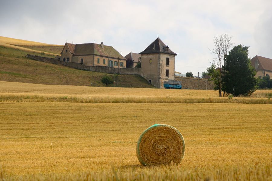
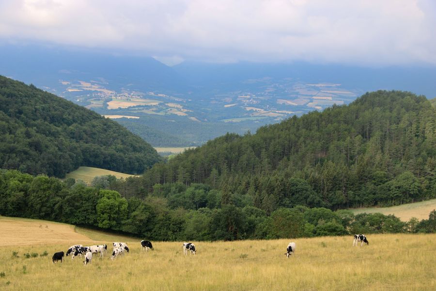
Embark on a country hike around Cornillon en Trièves. This beautiful loop will give you a splendid view of the Trièves region. Have fun counting the number of bell towers you can see from here!
The characteristics of the route.

Cornillon-en-Trièves (38)
- Distance 8.6 km
- Elevation gain 300 m
- Elevation lost 300 m
- Min. elevation 713 m
- Max. elevation. 886 m
- Duration (depending on pace) 3h
- Marking Yes
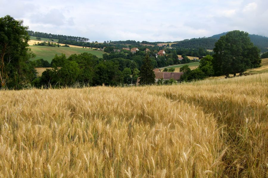
A family loop through the wheat fields of the Trièves. Discover the most beautiful views of the area and have fun identifying the many villages you'll see along the way. You might even come across some wild animals along the way.
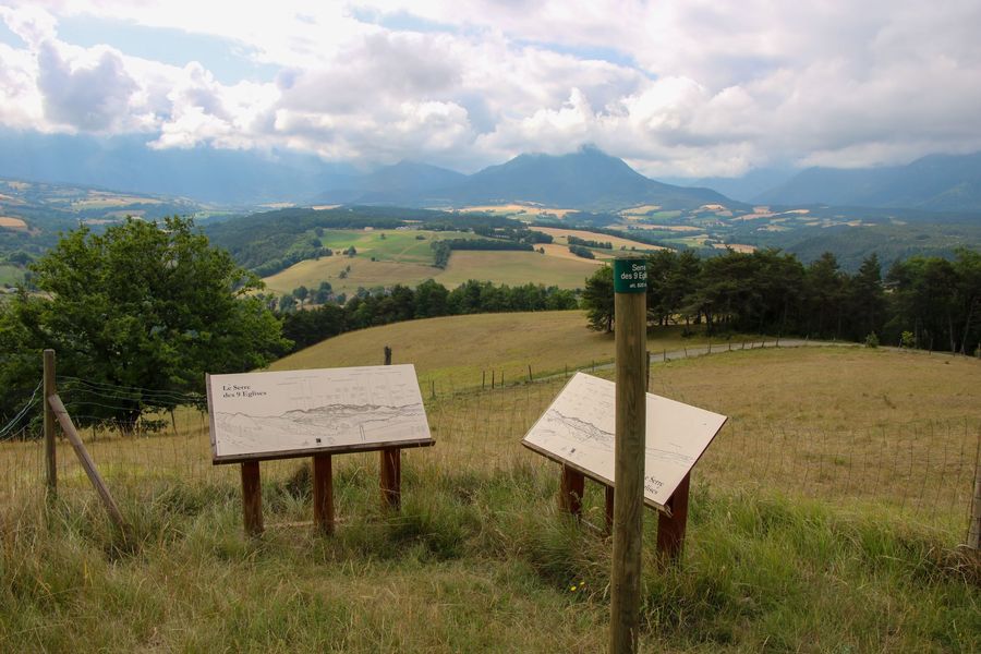
Note that the word Serre means a group of hills!Marking : Marked with yellow lines (PR)Equipments : Car park, Free car park, Admission fee : Free access.Opening : All year round.Step by step description : Departure: Park at the Aubépin hamlet parking lot. There is a small parking lot where you can leave your car. There's a hiking signpost on the other side of the road. Follow the main road downhill towards "Grand Oriol". Follow the smaller road branching off to the right. This will bring you to the second signpost entitled "Grand Oriol". 1) From "Grand Oriol", drive through the village in the direction of "Serre du Thau". There's a good asphalt climb ahead. It allows you to climb quickly and leave the village to find yourself in the middle of fields. The first interesting view is of the Dévoluy massif. Continue along the track until you reach the "Serre du Thau". 2) From "Serre du Thau" continue towards "Serre des 9 églises". The path is still very pleasant and allows you to take full advantage of the surrounding views. You'll soon reach the Serre. Then head for the belvedere below. A short round trip will give you a magnificent view of all the peaks of the Trièves. 3) Once back at the "Serre des 9 églises" post, head for the "SerrPrince right to reach the Serre of the same name. A long stretch of road brings you to a new yellow post indicating the "Serre du Villlaret". 4) Once at the "Serre du Villaret", follow the signs for "Richards", going downhill through the forest to the hamlet. Then cross the hamlet and follow the signs for "Petit Oriol". Once you've passed the road again, turn right into "Petit Oriol". 5) From the "Petit Oriol" signpost, follow the path to the right towards "Eaux d'Oriol". This pleasant track takes you alongside the Grand Oriol stream. At the "Eaux D'Oriol" signpost, follow the signs for "Grand Oriol". A short climb will take you to the hamlet of Grand Oriol, which you passed earlier. Then head for "Aubépin", following the same path as before, to reach your starting point at "Le Villaret". After a stretch in the forest, you cross a field to reach the gullied road where the next "Le Villaret" post is located.
Note that the word Serre means a group of hills!Marking : Marked with yellow lines (PR)Equipments : Car park, Free car park, Admission fee : Free access.Opening : All year round.Step by step description : Departure: Park at the Aubépin hamlet parking lot. There is a small parking lot where you can leave your car. There's a hiking signpost on the other side of the road. Follow the main road downhill towards "Grand Oriol". Follow the smaller road branching off to the right. This will bring you to the second signpost entitled "Grand Oriol". 1) From "Grand Oriol", drive through the village in the direction of "Serre du Thau". There's a good asphalt climb ahead. It allows you to climb quickly and leave the village to find yourself in the middle of fields. The first interesting view is of the Dévoluy massif. Continue along the track until you reach the "Serre du Thau". 2) From "Serre du Thau" continue towards "Serre des 9 églises". The path is still very pleasant and allows you to take full advantage of the surrounding views. You'll soon reach the Serre. Then head for the belvedere below. A short round trip will give you a magnificent view of all the peaks of the Trièves. 3) Once back at the "Serre des 9 églises" post, head for the "SerrPrince right to reach the Serre of the same name. A long stretch of road brings you to a new yellow post indicating the "Serre du Villlaret". 4) Once at the "Serre du Villaret", follow the signs for "Richards", going downhill through the forest to the hamlet. Then cross the hamlet and follow the signs for "Petit Oriol". Once you've passed the road again, turn right into "Petit Oriol". 5) From the "Petit Oriol" signpost, follow the path to the right towards "Eaux d'Oriol". This pleasant track takes you alongside the Grand Oriol stream. At the "Eaux D'Oriol" signpost, follow the signs for "Grand Oriol". A short climb will take you to the hamlet of Grand Oriol, which you passed earlier. Then head for "Aubépin", following the same path as before, to reach your starting point at "Le Villaret". After a stretch in the forest, you cross a field to reach the gullied road where the next "Le Villaret" post is located.
Area : Trièves
Report a problem
Website Pdf file Features of the application :
- Location and orientation on detailed maps thanks to the GPS of your smartphone
- Description of routes and points of interest on the route
- Photo gallery by route
- Detailed elevation profile
- Route tracking alert to warn you if you stray from the route
- Send predefined messages by SMS to your contacts
- Emergency module: trigger a call or send an emergency SMS in case of problem
- Agenda: access to events organized in the department
- News: find in the application the latest news on the web portal
- Adding achievements
- Add reports in case of problems encountered on the routes
- Share on social networks
Add your time and share your feelings
Services nearby

Trièves Museum
Mens

Bureau d'Informations Touristiques de Mens - Office de Tourisme du Trièves
Mens
Point d'information touristique du Môle (Lac de Monteynard-Avignonet)
Treffort
Espace Giono
Lalley
Musée Matheysin
La Mure


Information updated on 2025-02-12 by Office de Tourisme du Trièves


Follow us on
the digital trails
the digital trails





The Isère Outdoor application was created
by the Département de l'Isère
Infos & contact
Conseil départemental de l'Isère
7 rue Fantin Latour
CS 41096
38 022 Grenoble cedex 1
Tel. 04 76 00 38 38
 Isère Outdoor - Parcours - Serre des 9 églises
Hello, world! This is a toast message.
Isère Outdoor - Parcours - Serre des 9 églises
Hello, world! This is a toast message.
Isère Outdoor - Parcours - Serre des 9 églises
Hello, world! This is a toast message.


OK
Annuler