Pas du Serpaton
Add to my favorites

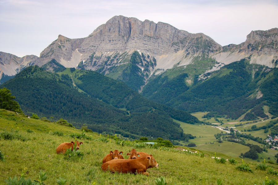
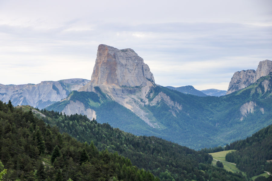
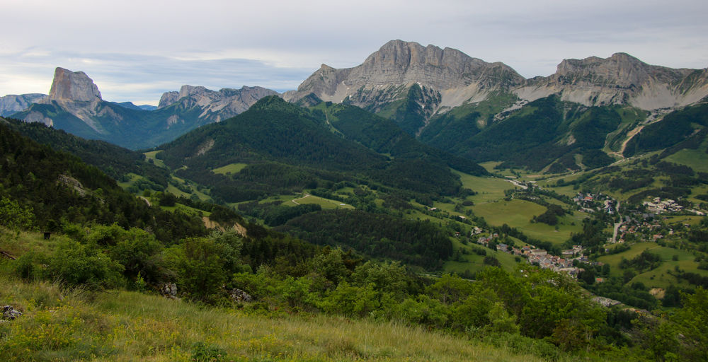
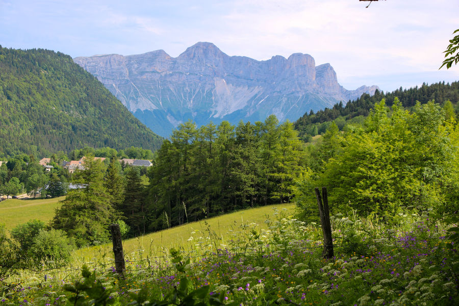
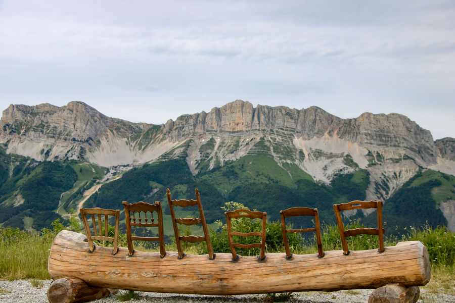
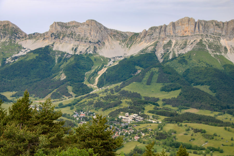
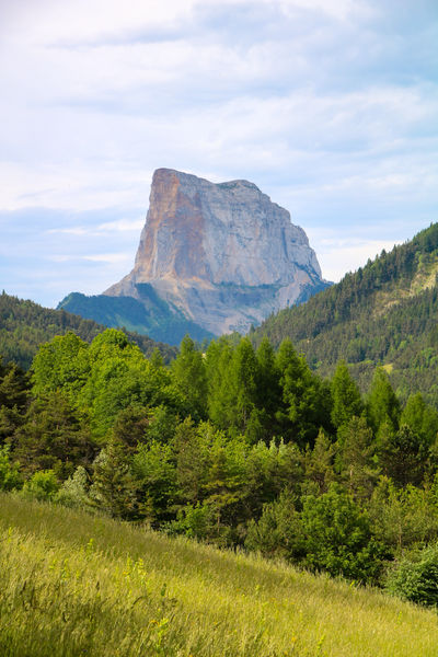
Une courte randonnée qui vous permettra de découvrir l’alpage du Serpaton avec ses vaches et ses fleurs. Une vue panoramique vous attend au sommet. Le lieu parfait pour un pique-nique en altitude.
The characteristics of the route.

Gresse-en-Vercors (38)
- Distance 5.8 km
- Elevation gain 420 m
- Elevation lost 420 m
- Min. elevation 1183 m
- Max. elevation. 1586 m
- Duration (depending on pace) 3h
- Marking Yes
Admission fee : Free access.Opening : All year round.
Area : Trièves
Report a problem
Website Pdf file Features of the application :
- Location and orientation on detailed maps thanks to the GPS of your smartphone
- Description of routes and points of interest on the route
- Photo gallery by route
- Detailed elevation profile
- Route tracking alert to warn you if you stray from the route
- Send predefined messages by SMS to your contacts
- Emergency module: trigger a call or send an emergency SMS in case of problem
- Agenda: access to events organized in the department
- News: find in the application the latest news on the web portal
- Adding achievements
- Add reports in case of problems encountered on the routes
- Share on social networks
Add your time and share your feelings
Services nearby

Bureau d'Informations Touristiques de Gresse en Vercors - Office de Tourisme du Trièves
Gresse-en-Vercors

Foyer nordique de Gresse-en-Vercors
Gresse-en-Vercors
Point d'information du Môle (Lac de Monteynard-Avignonet)
Treffort
Foyer nordique de Chichilianne
Chichilianne
Point d'information Chichilianne
Chichilianne


Information updated on 2022-10-14 by Office de Tourisme du Trièves


Follow us on
the digital trails
the digital trails


![]()
The Isère Outdoor application was created
by the Département de l'Isère
Infos & contact
Conseil départemental de l'Isère
7 rue Fantin Latour
CS 41096
38 022 Grenoble cedex 1
Tel. 04 76 00 38 38
 Isère Outdoor - Parcours - Pas du Serpaton
Hello, world! This is a toast message.
Isère Outdoor - Parcours - Pas du Serpaton
Hello, world! This is a toast message.
Isère Outdoor - Parcours - Pas du Serpaton
Hello, world! This is a toast message.


OK
Annuler