Les sources de la Gresse
Add to my favorites

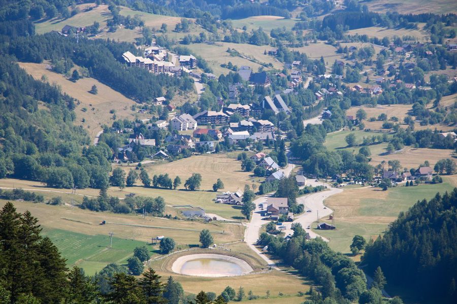
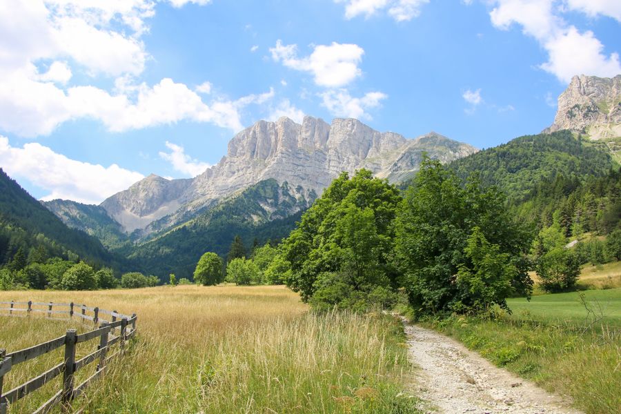
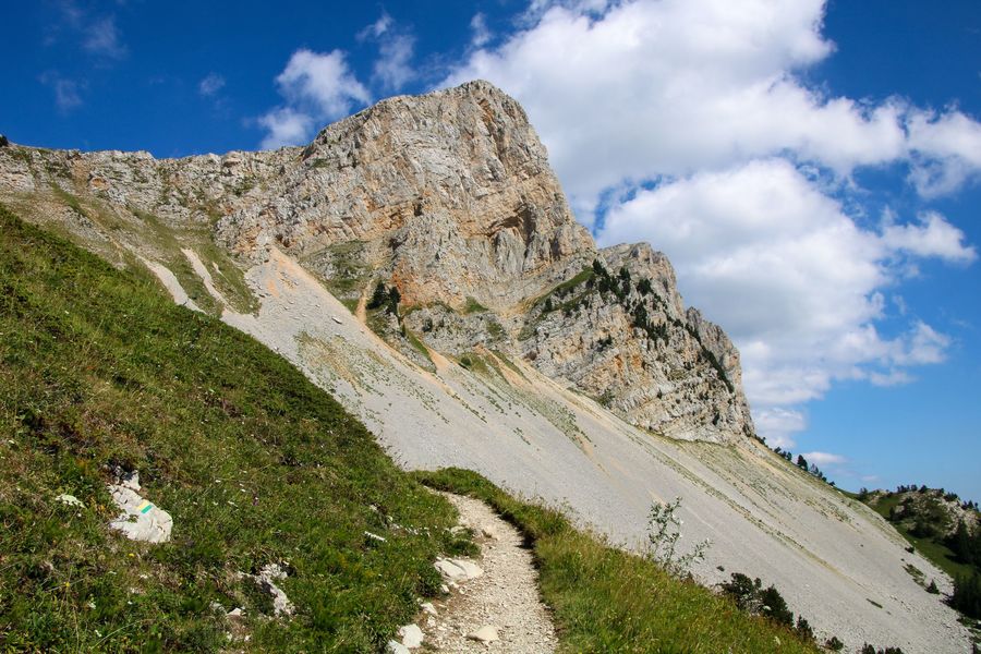
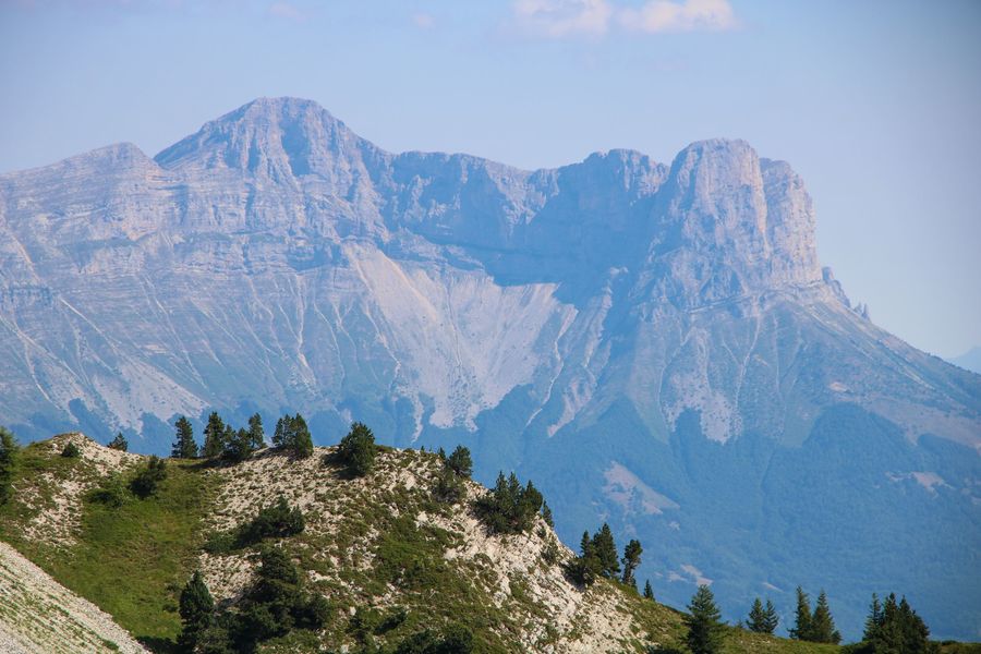
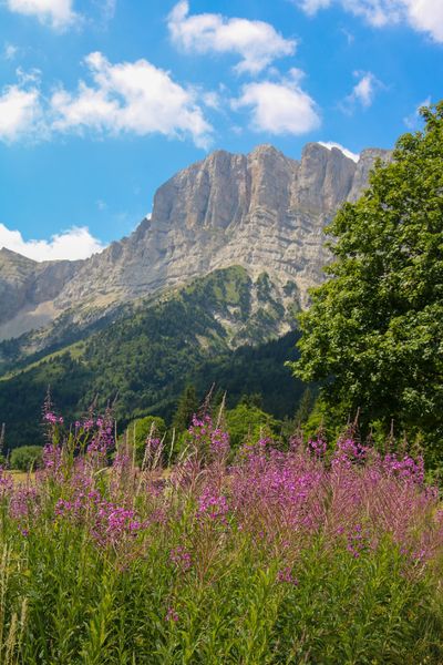
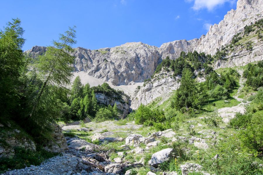
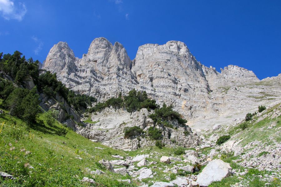
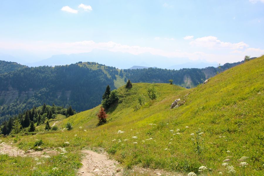
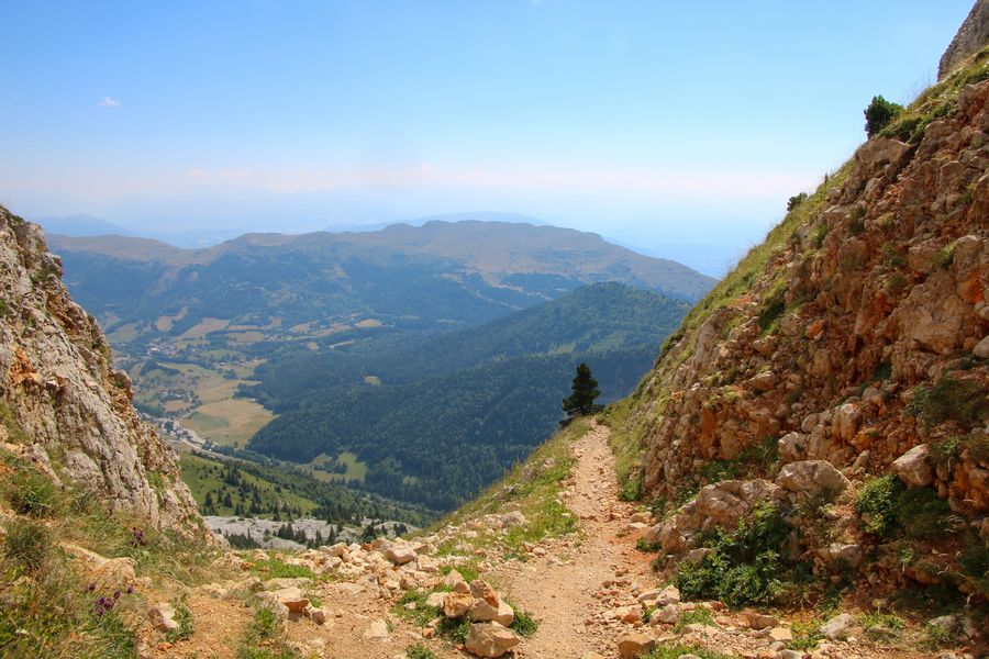
Prenez le départ depuis la station de Gresse-en-Vercors. Cette belle boucle vous permettra de découvrir la source du fameux ruisseau qui donna son nom au village, mais aussi d'observer le Grand Veymont sous toutes ses formes.
The characteristics of the route.

Gresse-en-Vercors (38)
- Distance 9 km
- Elevation gain 700 m
- Elevation lost 700 m
- Min. elevation 1246 m
- Max. elevation. 1930 m
- Duration (depending on pace) 3h30
- Marking Yes
Equipments : Car park, Free car park, Admission fee : Free access.Opening : All year round.
Subject to favorable snow and weather conditions.
Area : Trièves
Report a problem
Website Pdf file Features of the application :
- Location and orientation on detailed maps thanks to the GPS of your smartphone
- Description of routes and points of interest on the route
- Photo gallery by route
- Detailed elevation profile
- Route tracking alert to warn you if you stray from the route
- Send predefined messages by SMS to your contacts
- Emergency module: trigger a call or send an emergency SMS in case of problem
- Agenda: access to events organized in the department
- News: find in the application the latest news on the web portal
- Adding achievements
- Add reports in case of problems encountered on the routes
- Share on social networks
jodela
The 2025/07/29
En savoir plus
Ajouter votre chrono et partager vos sensations
2025/07/29 jodela
2025/07/29 jodela
Services nearby

Foyer nordique de Gresse-en-Vercors
Gresse-en-Vercors

Bureau d'Informations Touristiques de Gresse en Vercors - Office de Tourisme du Trièves
Gresse-en-Vercors
Foyer nordique de Chichilianne
Chichilianne
Point d'information Chichilianne
Chichilianne
Point d'information du Môle (Lac de Monteynard-Avignonet)
Treffort


Information updated on 2022-10-14 by Office de Tourisme du Trièves


Follow us on
the digital trails
the digital trails


![]()
The Isère Outdoor application was created
by the Département de l'Isère
Infos & contact
Conseil départemental de l'Isère
7 rue Fantin Latour
CS 41096
38 022 Grenoble cedex 1
Tel. 04 76 00 38 38
 Isère Outdoor - Parcours - Les sources de la Gresse
Hello, world! This is a toast message.
Isère Outdoor - Parcours - Les sources de la Gresse
Hello, world! This is a toast message.
Isère Outdoor - Parcours - Les sources de la Gresse
Hello, world! This is a toast message.


OK
Annuler