The Gresse valley
Add to my favorites

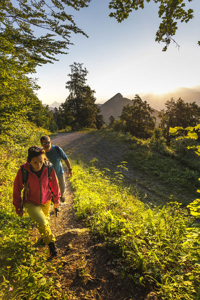
Family walk offering beautiful views of the Trièves woodland and the eastern foothills of the Vercors before diving into the wooded valley of the Gresse
Route labeled FFRandonnée

The characteristics of the route.

Miribel-Lanchâtre (38)
- Distance 6.2 km
- Elevation gain 320 m
- Elevation lost 320 m
- Min. elevation 489 m
- Max. elevation. 765 m
- Duration (depending on pace) 2h
- Marking Yes
Equipments : Car park, Delicate passages : A small area of scree before the Gresse torrent can be slippery after heavy rain but does not present any particular difficulties outside of these periods.Admission fee : Free access.Opening : All year round.
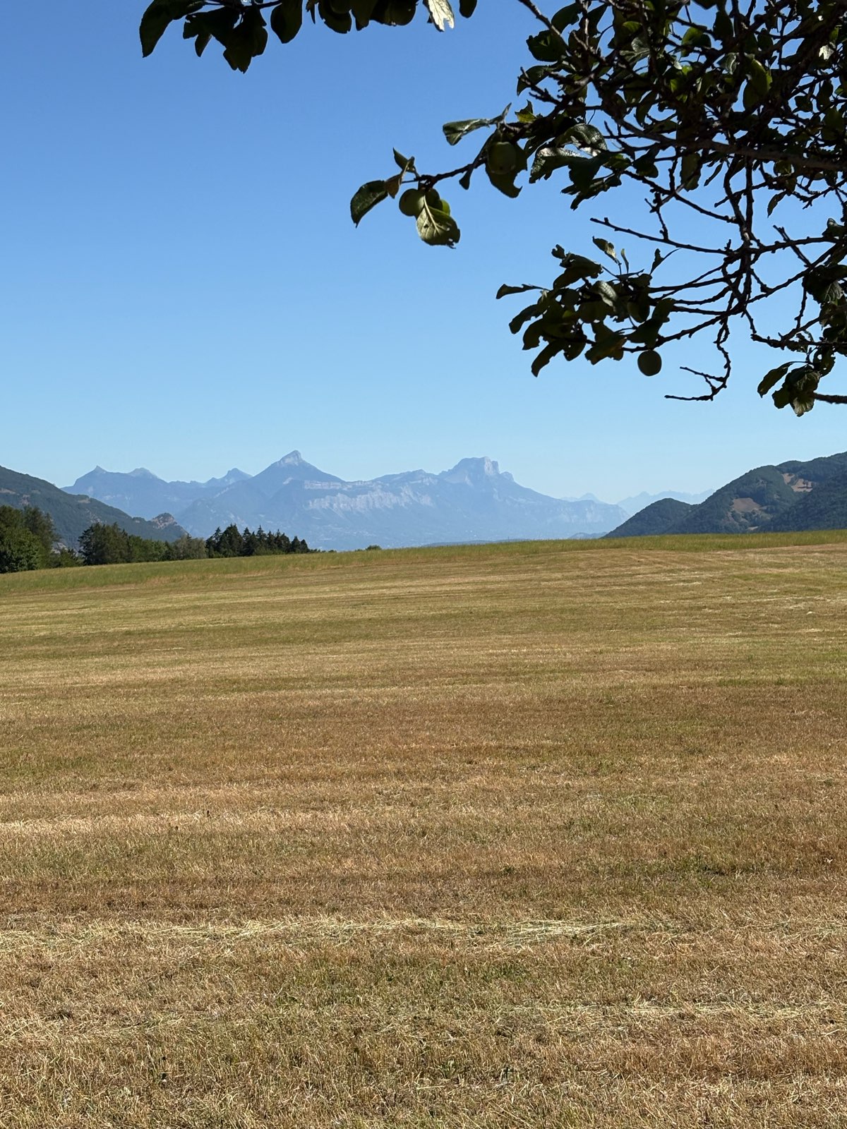
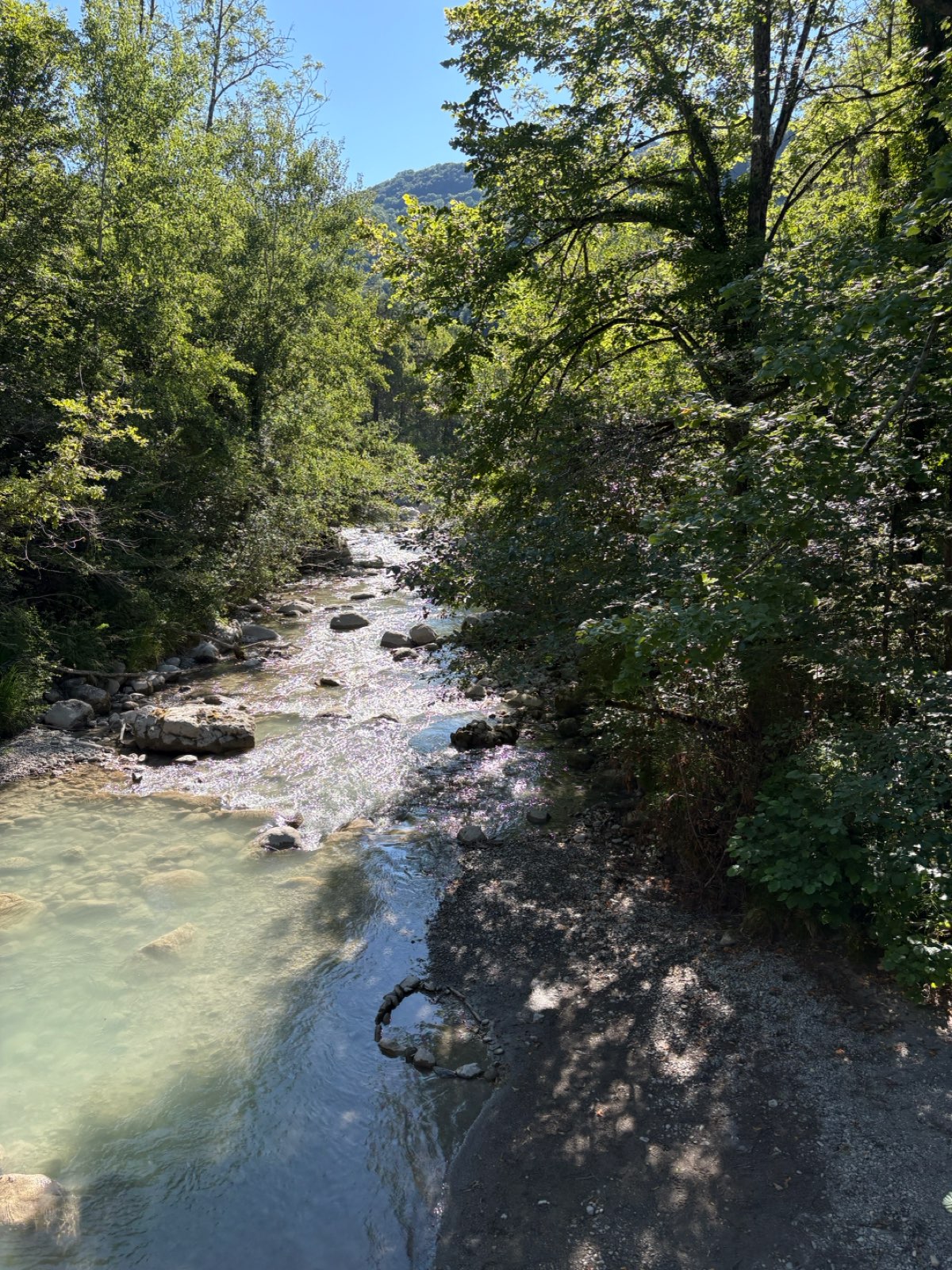
Subject to favorable weather.Step by step description : From Miribel-Lanchâtre town hall, follow the road up towards "les Adrets". Cross the D8, continue straight ahead on the Chemin du Pré Tarachou, then take a wide, stony path on the left to join the road on the right towards Les Gouveyrts. A magnificent panorama of the Trièves awaits you. Continue downhill on the road and, just after the Fond Carle farm, turn left onto a path towards Pont Péron to reach the Gresse torrent [slippery in heavy rain]. Do not use the footbridge, but go straight up. Go through the barriers [don't forget to close them].
At the "Malamorta" post, turn right towards Serre du Roux. The path climbs up through the forest, crosses the ford of the Pierre du Mai stream, runs alongside the equipment of a sports course and ends up on the ridge at the "Plan de Miribel" post. Turn left onto a wide track leading back to Miribel-Lanchâtre [view of the Chartreuse and northern Vercors]. At the "La Tournie" post, continue straight ahead on a grassy path. Turn left along the D8.
Turn right before the bus stop to get back to the starting point.
Area : Grenoble-Alpes Métropole
Report a problem
Website Pdf file Features of the application :
- Location and orientation on detailed maps thanks to the GPS of your smartphone
- Description of routes and points of interest on the route
- Photo gallery by route
- Detailed elevation profile
- Route tracking alert to warn you if you stray from the route
- Send predefined messages by SMS to your contacts
- Emergency module: trigger a call or send an emergency SMS in case of problem
- Agenda: access to events organized in the department
- News: find in the application the latest news on the web portal
- Adding achievements
- Add reports in case of problems encountered on the routes
- Share on social networks

ELEMOINERANDO
finished in 02:00:00
The 2026/07/05
En savoir plus
Ajouter votre chrono et partager vos sensations
Services nearby

Atelier Gilioli
Saint-Martin-de-la-Cluze

Refuge La Soldanelle
Château-Bernard

Point d'information touristique du Môle (Lac de Monteynard-Avignonet)
Treffort
Point d'Information Touristique de Gresse en Vercors
Gresse-en-Vercors
Tourist office of La Motte d'Aveillans
La Motte-d'Aveillans


Information updated on 2025-05-06 by Office de Tourisme Grenoble Alpes


Follow us on
the digital trails
the digital trails





The Isère Outdoor application was created
by the Département de l'Isère
Infos & contact
Conseil départemental de l'Isère
7 rue Fantin Latour
CS 41096
38 022 Grenoble cedex 1
Tel. 04 76 00 38 38
 Isère Outdoor - Parcours - The Gresse valley
Hello, world! This is a toast message.
Isère Outdoor - Parcours - The Gresse valley
Hello, world! This is a toast message.
Isère Outdoor - Parcours - The Gresse valley
Hello, world! This is a toast message.


OK
Annuler