Boucle Vallée du Haut Bréda
Add to my favorites

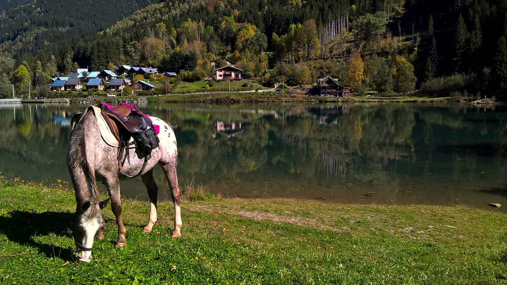
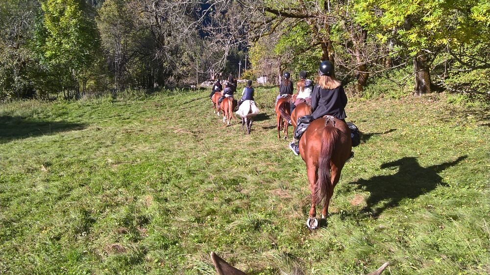
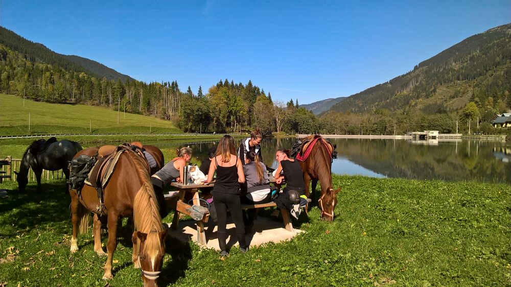
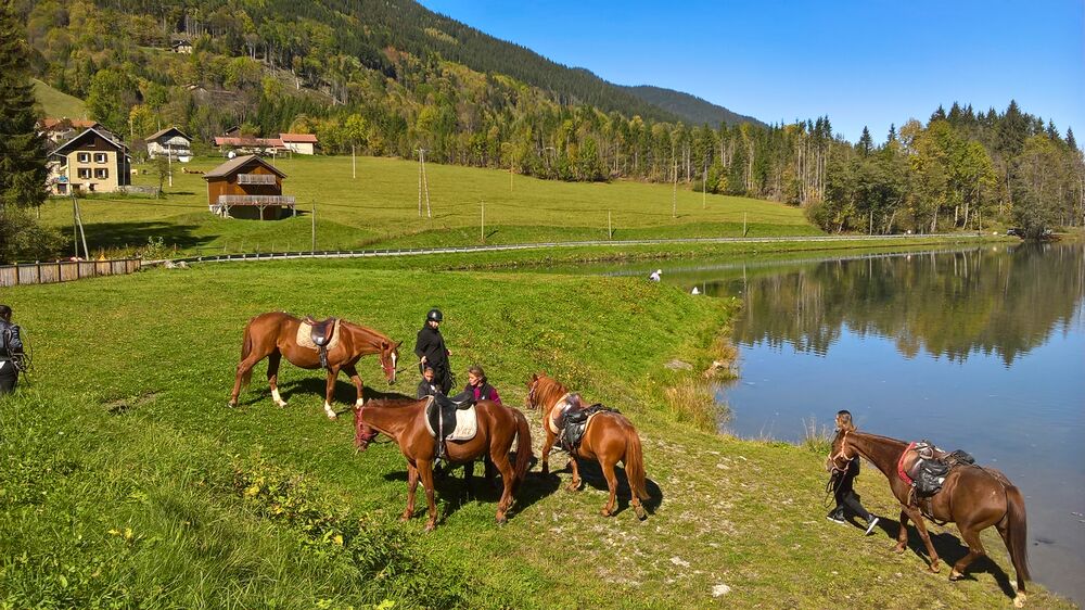
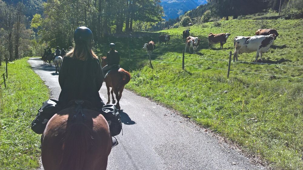
Échappez vous le temps d'une petite journée dans la vallée paisible du Haut Bréda au nord du massif de Belledonne.
The characteristics of the route.
Le Haut-Bréda (38)
- Distance 17.4 km
- Elevation gain 670 m
- Elevation lost 670 m
- Min. elevation 888 m
- Max. elevation. 1145 m
- Duration (depending on pace) 5h
- Marking Yes
Area : Grésivaudan
Report a problem
Features of the application :
- Location and orientation on detailed maps thanks to the GPS of your smartphone
- Description of routes and points of interest on the route
- Photo gallery by route
- Detailed elevation profile
- Route tracking alert to warn you if you stray from the route
- Send predefined messages by SMS to your contacts
- Emergency module: trigger a call or send an emergency SMS in case of problem
- Agenda: access to events organized in the department
- News: find in the application the latest news on the web portal
- Adding achievements
- Add reports in case of problems encountered on the routes
- Share on social networks
Add your time and share your feelings
Services nearby

Crêt du Poulet refuge
Crêts en Belledonne

Espace Naturel Sensible de la forêt du Bout et Combe Grasse
Le Haut-Bréda
Refuge de l'Oule
Le Haut-Bréda

Forges et Moulins de Pinsot
Le Haut-Bréda
Foyer de ski de fond du Barioz
Crêts en Belledonne


Information updated on 2021-06-24 by Isère Cheval Vert


Follow us on
the digital trails
the digital trails


![]()
The Isère Outdoor application was created
by the Département de l'Isère
Infos & contact
Conseil départemental de l'Isère
7 rue Fantin Latour
CS 41096
38 022 Grenoble cedex 1
Tel. 04 76 00 38 38
 Isère Outdoor - Parcours - Boucle Vallée du Haut Bréda
Hello, world! This is a toast message.
Isère Outdoor - Parcours - Boucle Vallée du Haut Bréda
Hello, world! This is a toast message.
Isère Outdoor - Parcours - Boucle Vallée du Haut Bréda
Hello, world! This is a toast message.


OK
Annuler