The Gerbolle Trail
Add to my favorites

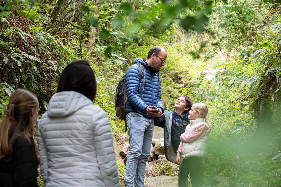
A very hilly route alternating between undergrowth and meadows, offering many remarkable views of the Rhône Valley.
Route labeled FFRandonnée

The characteristics of the route.

Reventin-Vaugris (38)
- Distance 18.3 km
- Elevation gain 530 m
- Elevation lost 530 m
- Min. elevation 253 m
- Max. elevation. 406 m
- Duration (depending on pace) 6h
- Marking No
DETAILED ITINERARY:
1 - DEPARTURE
- From the car park, cross the village via the street on the left.
- At the fountain, turn right until you reach the cross.
- Continue straight ahead, pass the house and then descend to the left.
2 - ASCENT TO THE TRACK
- Go up and turn right onto the track.
- At the crossroads at the edge of the woods, turn right until you reach the La Croix des Chasseurs signpost.
3 - ACROSS THE FIELDS
- Pass the house and continue straight ahead across the fields, join the road and follow it to the hamlet of Les Barres.
- Cross the village and turn left onto Chemin du Flachet.
4 - STREAM AND HAMLET
- Stay on the main track, cross the Gerbolle stream and reach the hamlet of La Balme.
- At the crossroads, turn right to reach the Le Télégraphe signpost.
5 - DIRECTION VOSSÈRE
- Turn left towards Vossère, cross the D46 and take the track on the right to the hamlet of Vossère.
- At the Vossère signpost, turn left and go down the road for 100 m before turning left onto the track through the fields.
6 - FOREST AND MEADOW
- Reach the forest and continue left at the meadow.
- Take the road on the right for 100 m, then continue left towards Reventin-Vaugris.
- Pass the houses and take the path on the right into the forest, then turn left onto the second path to reach the road.
7 - RETURN TO MALACOMBE
- Follow the road to the right, then continue left at the fork.
- When you reach the houses, take the Malacombe path.
- On the other side of the valley, go down the Moulin path.
8 - FINAL LOOP
- After the house, turn right onto the path at the edge of the forest, cross the Pont des Amoureux bridge, then turn left and immediately right onto the path that climbs back up to La Croix des Chasseurs.
- Follow the same route as on the way out to return to the car park.Equipments : Car park, Admission fee : Free access.Opening : From 01/01 to 31/12 daily.
1 - DEPARTURE
- From the car park, cross the village via the street on the left.
- At the fountain, turn right until you reach the cross.
- Continue straight ahead, pass the house and then descend to the left.
2 - ASCENT TO THE TRACK
- Go up and turn right onto the track.
- At the crossroads at the edge of the woods, turn right until you reach the La Croix des Chasseurs signpost.
3 - ACROSS THE FIELDS
- Pass the house and continue straight ahead across the fields, join the road and follow it to the hamlet of Les Barres.
- Cross the village and turn left onto Chemin du Flachet.
4 - STREAM AND HAMLET
- Stay on the main track, cross the Gerbolle stream and reach the hamlet of La Balme.
- At the crossroads, turn right to reach the Le Télégraphe signpost.
5 - DIRECTION VOSSÈRE
- Turn left towards Vossère, cross the D46 and take the track on the right to the hamlet of Vossère.
- At the Vossère signpost, turn left and go down the road for 100 m before turning left onto the track through the fields.
6 - FOREST AND MEADOW
- Reach the forest and continue left at the meadow.
- Take the road on the right for 100 m, then continue left towards Reventin-Vaugris.
- Pass the houses and take the path on the right into the forest, then turn left onto the second path to reach the road.
7 - RETURN TO MALACOMBE
- Follow the road to the right, then continue left at the fork.
- When you reach the houses, take the Malacombe path.
- On the other side of the valley, go down the Moulin path.
8 - FINAL LOOP
- After the house, turn right onto the path at the edge of the forest, cross the Pont des Amoureux bridge, then turn left and immediately right onto the path that climbs back up to La Croix des Chasseurs.
- Follow the same route as on the way out to return to the car park.Equipments : Car park, Admission fee : Free access.Opening : From 01/01 to 31/12 daily.
Area : Vienne Condrieu
Report a problem
Pdf file Features of the application :
- Location and orientation on detailed maps thanks to the GPS of your smartphone
- Description of routes and points of interest on the route
- Photo gallery by route
- Detailed elevation profile
- Route tracking alert to warn you if you stray from the route
- Send predefined messages by SMS to your contacts
- Emergency module: trigger a call or send an emergency SMS in case of problem
- Agenda: access to events organized in the department
- News: find in the application the latest news on the web portal
- Adding achievements
- Add reports in case of problems encountered on the routes
- Share on social networks
Add your time and share your feelings
Services nearby

Tourist office of Vienne
Vienne

Archaelogical Museum - Saint Peter's Church
Vienne
Fine Arts and Archaeology Museum
Vienne
Saint-André-le-Bas Cloister
Vienne
Textile Industry Museum
Vienne


Information updated on 2025-12-18 by Isère Attractivité


Follow us on
the digital trails
the digital trails





The Isère Outdoor application was created
by the Département de l'Isère
Infos & contact
Conseil départemental de l'Isère
7 rue Fantin Latour
CS 41096
38 022 Grenoble cedex 1
Tel. 04 76 00 38 38
 Isère Outdoor - Parcours - The Gerbolle Trail
Hello, world! This is a toast message.
Isère Outdoor - Parcours - The Gerbolle Trail
Hello, world! This is a toast message.
Isère Outdoor - Parcours - The Gerbolle Trail
Hello, world! This is a toast message.


OK
Annuler