Belle Aiguette snowshoe trail
Add to my favorites

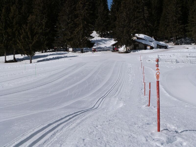
This snowshoe trail is of medium difficulty, colour blue. This is trail 2 on the Barioz snowshoe map.
The characteristics of the route.
Crêts en Belledonne (38)
- Distance 1.7 km
- Elevation gain 140 m
- Elevation lost 140 m
- Min. elevation 1419 m
- Max. elevation. 1552 m
- Duration (depending on pace) 1h15
- Marking Yes
Equipments : Parking nearby, Opening : From 20/12/2025 to 29/03/2026 daily.
Subject to snow conditions.
Area : Grésivaudan
Report a problem
Website Pdf file Features of the application :
- Location and orientation on detailed maps thanks to the GPS of your smartphone
- Description of routes and points of interest on the route
- Photo gallery by route
- Detailed elevation profile
- Route tracking alert to warn you if you stray from the route
- Send predefined messages by SMS to your contacts
- Emergency module: trigger a call or send an emergency SMS in case of problem
- Agenda: access to events organized in the department
- News: find in the application the latest news on the web portal
- Adding achievements
- Add reports in case of problems encountered on the routes
- Share on social networks
Add your time and share your feelings
Services nearby

Crêt du Poulet refuge
Crêts en Belledonne

Foyer de ski de fond du Barioz
Crêts en Belledonne

Forges et Moulins de Pinsot
Le Haut-Bréda

Espace Naturel Sensible de la forêt du Bout et Combe Grasse
Le Haut-Bréda

Bureau d'Information Touristique du Pleynet / Les 7 Laux - Office de Tourisme Belledonne Chartreuse
Les Sept Laux Le Pleynet


Information updated on 2025-09-30 by Office de Tourisme de Belledonne Chartreuse


Follow us on
the digital trails
the digital trails


![]()
The Isère Outdoor application was created
by the Département de l'Isère
Infos & contact
Conseil départemental de l'Isère
7 rue Fantin Latour
CS 41096
38 022 Grenoble cedex 1
Tel. 04 76 00 38 38
 Isère Outdoor - Parcours - Belle Aiguette snowshoe trail
Hello, world! This is a toast message.
Isère Outdoor - Parcours - Belle Aiguette snowshoe trail
Hello, world! This is a toast message.
Isère Outdoor - Parcours - Belle Aiguette snowshoe trail
Hello, world! This is a toast message.


OK
Annuler