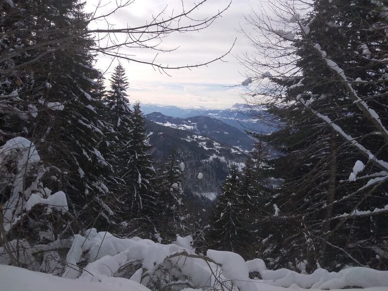
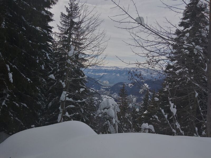
Les Mouilles snowshoe trail
Add to my favorites

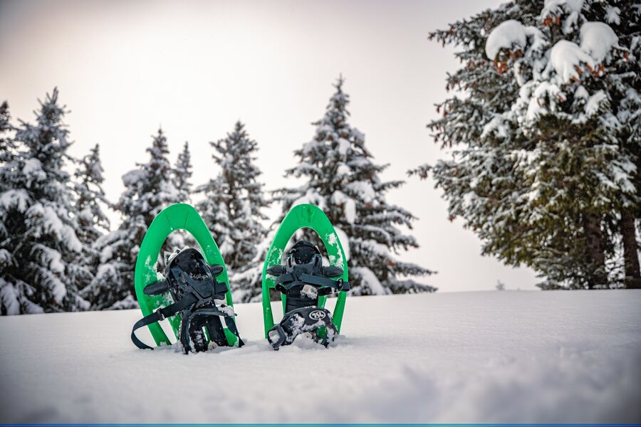
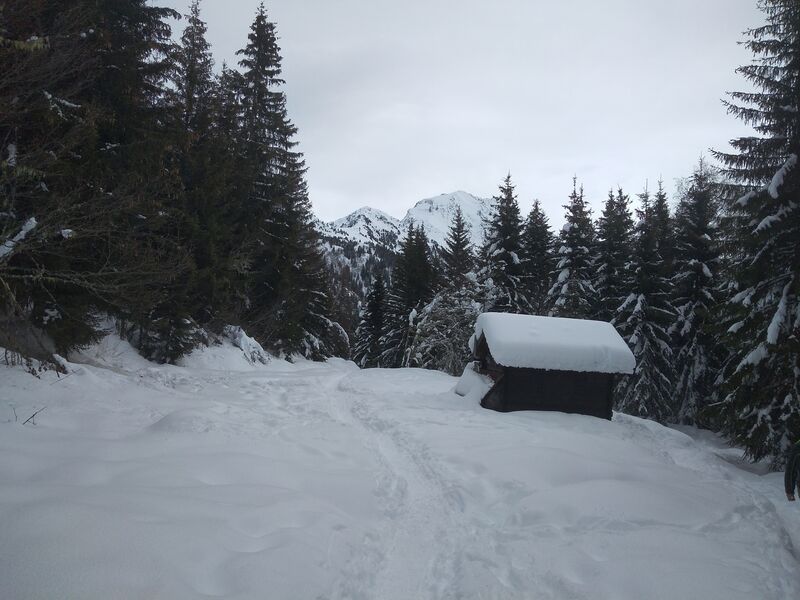
The Les Mouilles trail is of medium difficulty and is 4 km long, with an ascent of 185 metres (2 hours15) in the forest.
The characteristics of the route.
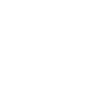
Le Collet (38)
- Distance 3.8 km
- Elevation gain 190 m
- Elevation lost 190 m
- Min. elevation 1419 m
- Max. elevation. 1570 m
- Duration (depending on pace) 2h
- Marking Yes
Admission fee : Free of charge.
Area : Grésivaudan
Report a problem
Website Le Collet d'Allevard_ plan des itinéraires raquettes Les Mouilles snowshoe trail_Le Collet Features of the application :
- Location and orientation on detailed maps thanks to the GPS of your smartphone
- Description of routes and points of interest on the route
- Photo gallery by route
- Detailed elevation profile
- Route tracking alert to warn you if you stray from the route
- Send predefined messages by SMS to your contacts
- Emergency module: trigger a call or send an emergency SMS in case of problem
- Agenda: access to events organized in the department
- News: find in the application the latest news on the web portal
- Adding achievements
- Add reports in case of problems encountered on the routes
- Share on social networks
Add your time and share your feelings
Services nearby

Le Collet Tourist Information Office
Le Collet

Allevard Museum
Allevard-les-Bains
Bureau d'Information Touristique d'Allevard-les-Bains
Allevard-les-Bains
Service animation du Bureau d'Information Touristique d'Allevard
Allevard-les-Bains

La Pierre du Carre Refuge
Le Collet


Information updated on 2026-02-03 by Office de Tourisme de Belledonne Chartreuse


Follow us on
the digital trails
the digital trails


![]()
The Isère Outdoor application was created
by the Département de l'Isère
Infos & contact
Conseil départemental de l'Isère
7 rue Fantin Latour
CS 41096
38 022 Grenoble cedex 1
Tel. 04 76 00 38 38
 Isère Outdoor - Parcours - Les Mouilles snowshoe trail
Hello, world! This is a toast message.
Isère Outdoor - Parcours - Les Mouilles snowshoe trail
Hello, world! This is a toast message.
Isère Outdoor - Parcours - Les Mouilles snowshoe trail
Hello, world! This is a toast message.


OK
Annuler