Germaigne
Add to my favorites

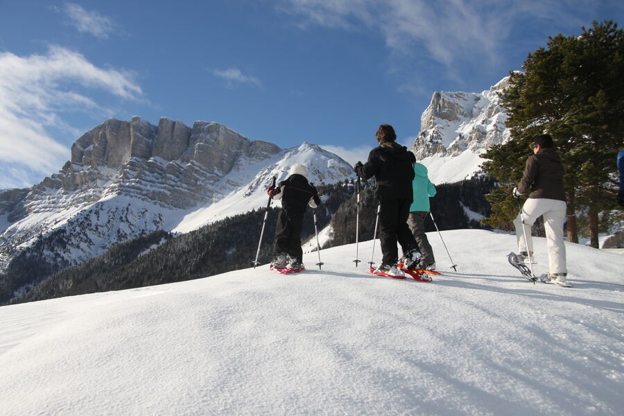
After climbing the Germaigne ridge, you can stop at the Olagnière picnic tables above marker I. The return journey descends into the valley before climbing back up through the Serre Chaud wood, a haven for wild animals!
The characteristics of the route.
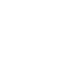
Gresse-en-Vercors (38)
- Distance 3.1 km
- Elevation gain 100 m
- Elevation lost 100 m
- Min. elevation 1238 m
- Max. elevation. 1331 m
- Duration (depending on pace) 1h30
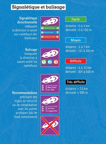
- Marking Yes
Marking : Purple beacons
N°5 blueEquipments : Public WC, Car park, Free car park, Admission fee : Free access.Opening : From 01/12 to 31/03.
Area : Trièves
Report a problem
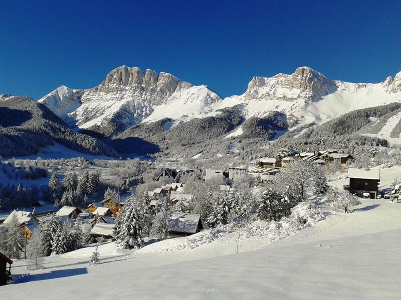
Website Gresse en Vercors - Plan des itinéraires raquettes Pdf file Features of the application :
- Location and orientation on detailed maps thanks to the GPS of your smartphone
- Description of routes and points of interest on the route
- Photo gallery by route
- Detailed elevation profile
- Route tracking alert to warn you if you stray from the route
- Send predefined messages by SMS to your contacts
- Emergency module: trigger a call or send an emergency SMS in case of problem
- Agenda: access to events organized in the department
- News: find in the application the latest news on the web portal
- Adding achievements
- Add reports in case of problems encountered on the routes
- Share on social networks
Add your time and share your feelings
Services nearby

Foyer nordique de Gresse-en-Vercors
Gresse-en-Vercors

Bureau d'Informations Touristiques de Gresse en Vercors - Office de Tourisme du Trièves
Gresse-en-Vercors
Foyer nordique de Chichilianne
Chichilianne
Point d'information du Môle (Lac de Monteynard-Avignonet)
Treffort
Point d'information Chichilianne
Chichilianne


Information updated on 2023-01-06 by Office de Tourisme du Trièves


Follow us on
the digital trails
the digital trails


![]()
The Isère Outdoor application was created
by the Département de l'Isère
Infos & contact
Conseil départemental de l'Isère
7 rue Fantin Latour
CS 41096
38 022 Grenoble cedex 1
Tel. 04 76 00 38 38
 Isère Outdoor - Parcours - Germaigne
Hello, world! This is a toast message.
Isère Outdoor - Parcours - Germaigne
Hello, world! This is a toast message.
Isère Outdoor - Parcours - Germaigne
Hello, world! This is a toast message.


OK
Annuler