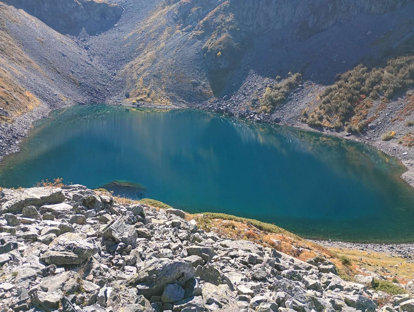
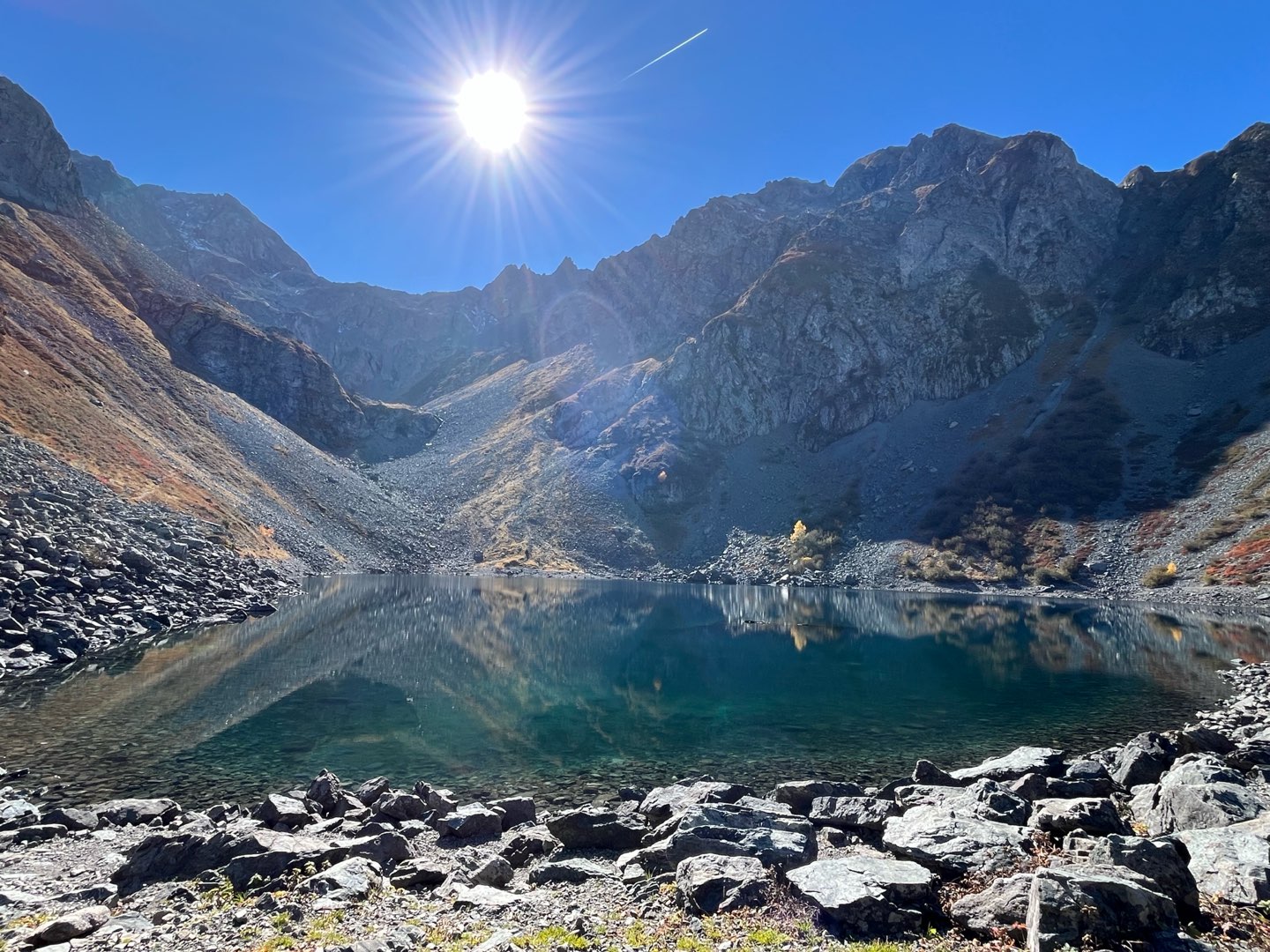
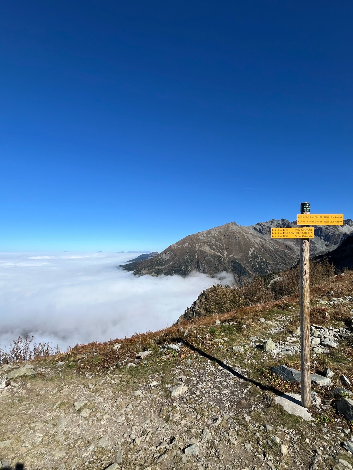
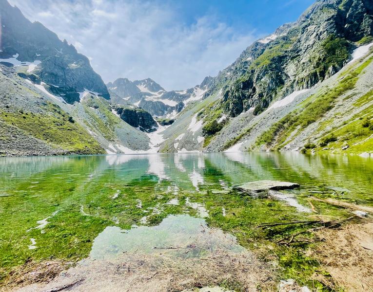
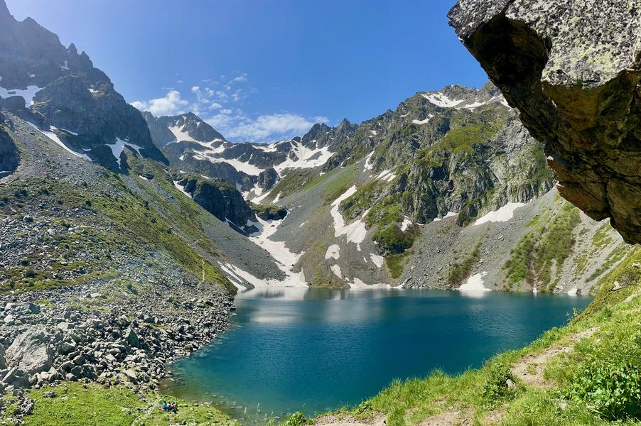
Pont de la Betta - Le lac de Crop
Add to my favorites

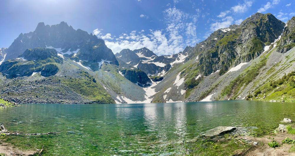
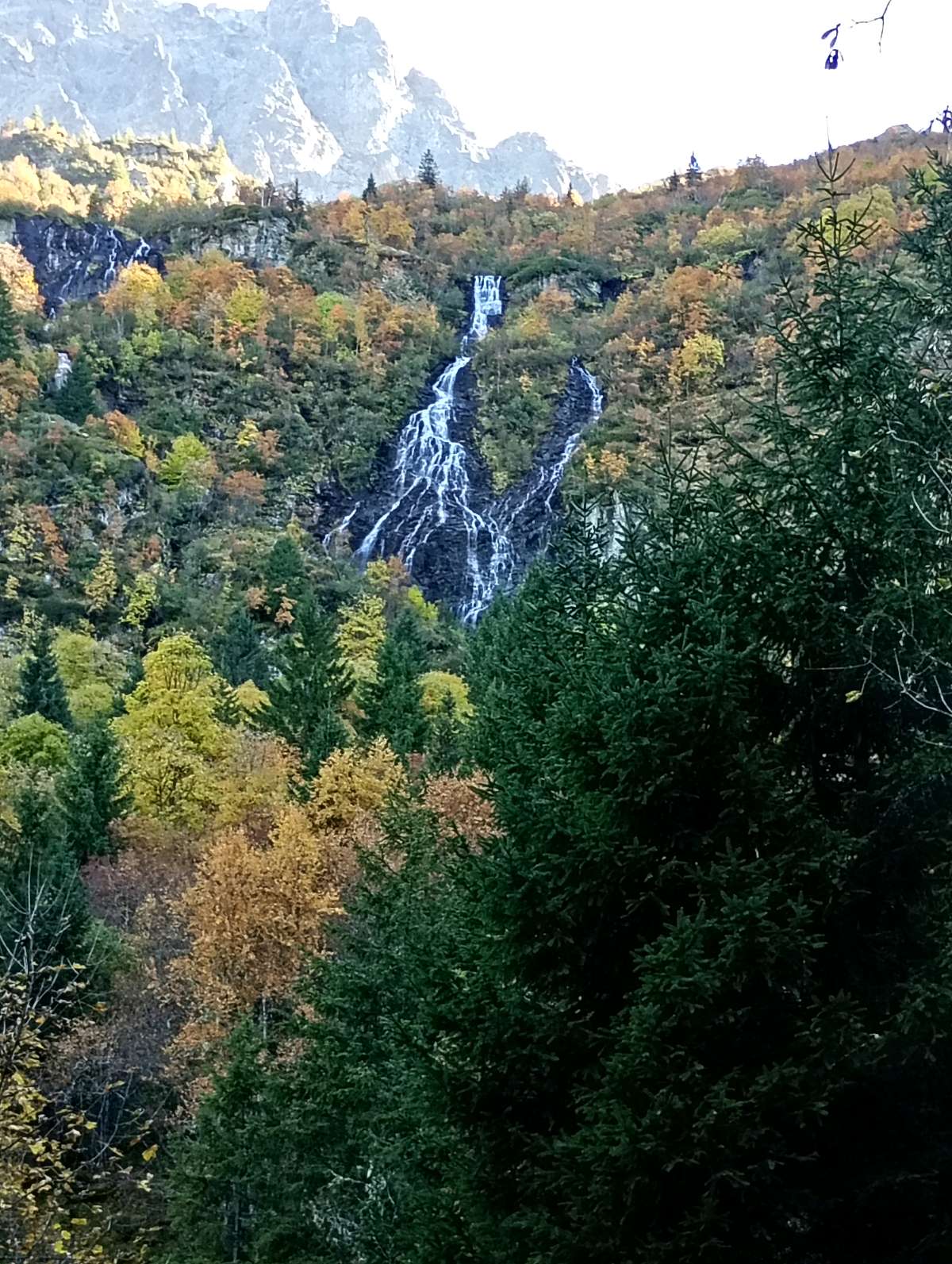
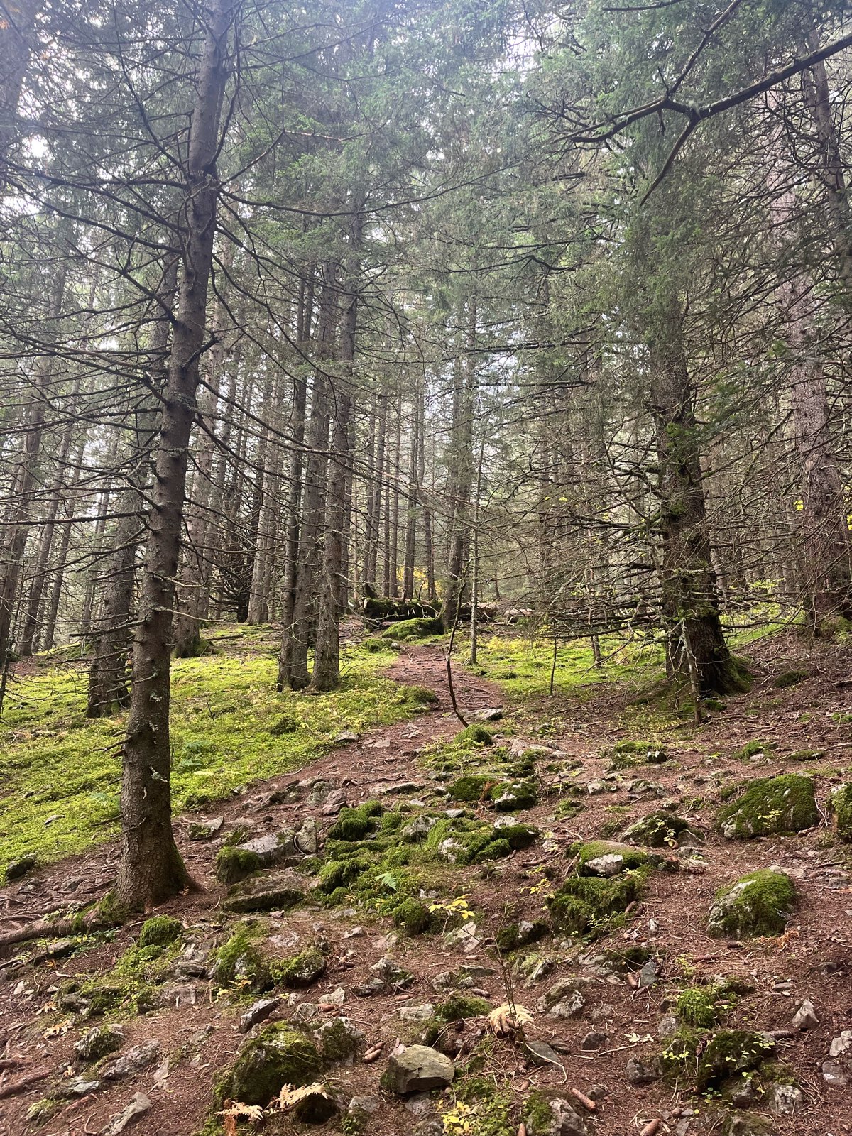
Nature reveals itself to you on this hike with the Muret mountain stream, the Avoux waterfall and the blueberries along the way.
The characteristics of the route.

Laval-en-Belledonne (38)
- Distance 8.7 km
- Elevation gain 670 m
- Elevation lost 670 m
- Min. elevation 1274 m
- Max. elevation. 1925 m
- Duration (depending on pace) 4h
- Marking Yes
Features of the application :
- Location and orientation on detailed maps thanks to the GPS of your smartphone
- Description of routes and points of interest on the route
- Photo gallery by route
- Detailed elevation profile
- Route tracking alert to warn you if you stray from the route
- Send predefined messages by SMS to your contacts
- Emergency module: trigger a call or send an emergency SMS in case of problem
- Agenda: access to events organized in the department
- News: find in the application the latest news on the web portal
- Adding achievements
- Add reports in case of problems encountered on the routes
- Share on social networks
vess1
The 2025/11/16
En savoir plus
ecile20
finished in 03:30:00
The 2025/10/15
En savoir plus
Ajouter votre chrono et partager vos sensations
Services nearby

Refuge le Habert d'Aiguebelle
Laval

Bureau d'Information Touristique de Prapoutel / Les 7 Laux - Office de Tourisme Belledonne Chartreuse
Les Sept Laux Prapoutel
Refuge Jean Collet
Sainte-Agnès

Ibex museum - Space York Mallory
Allemond
Gîte d'Alpage Le Pré du Molard
Laval


Information updated on 2025-08-27 by Office de Tourisme de Belledonne Chartreuse


Follow us on
the digital trails
the digital trails


![]()
The Isère Outdoor application was created
by the Département de l'Isère
Infos & contact
Conseil départemental de l'Isère
7 rue Fantin Latour
CS 41096
38 022 Grenoble cedex 1
Tel. 04 76 00 38 38
 Isère Outdoor - Parcours - Pont de la Betta - Le lac de Crop
Hello, world! This is a toast message.
Isère Outdoor - Parcours - Pont de la Betta - Le lac de Crop
Hello, world! This is a toast message.
Isère Outdoor - Parcours - Pont de la Betta - Le lac de Crop
Hello, world! This is a toast message.


OK
Annuler