Côte Rouge
Add to my favorites

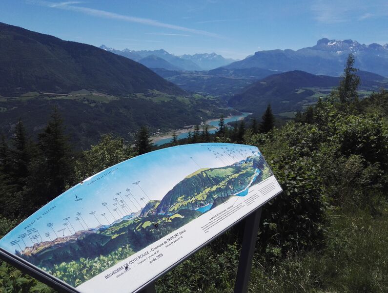
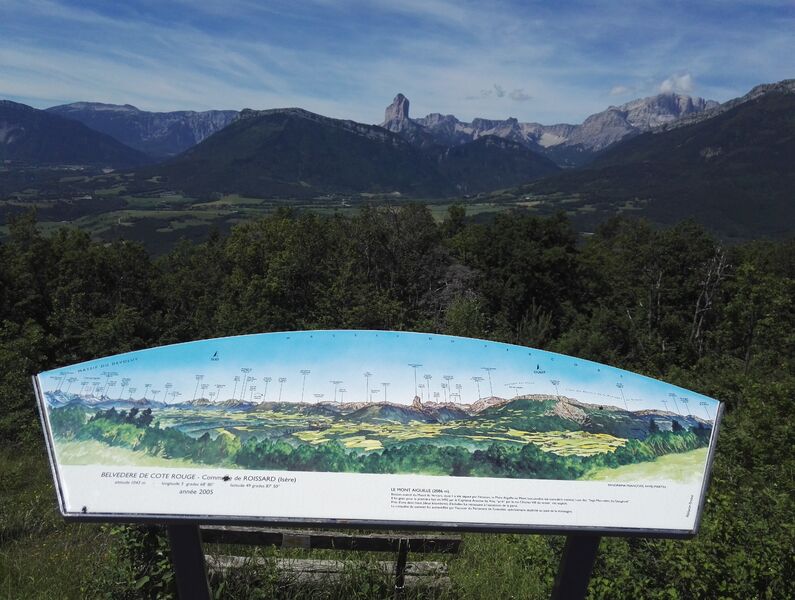
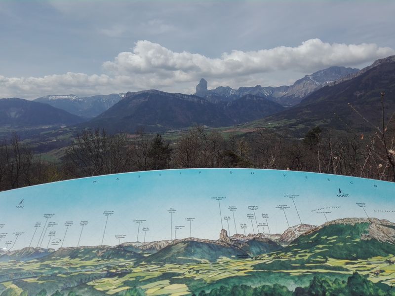
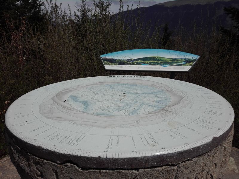
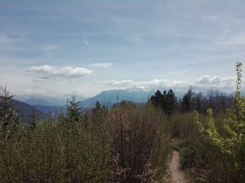
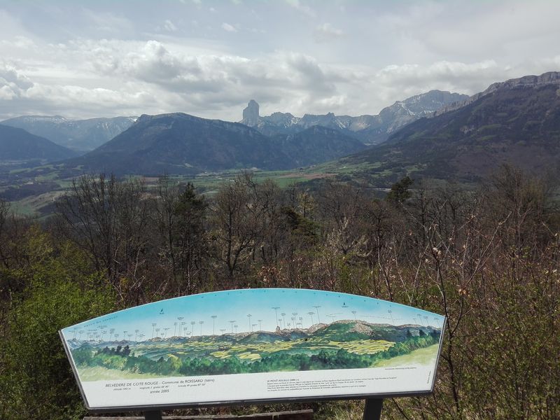
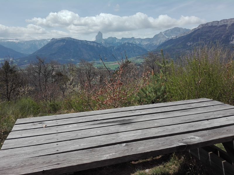
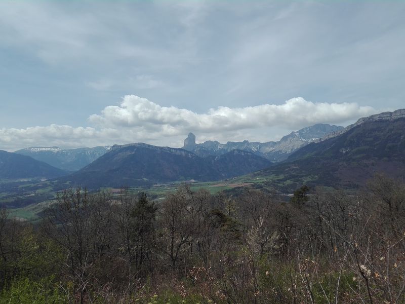
Partez pour cette agréable boucle forestière aux portes du Trièves et en Balcon du Lac du Monteynard. Appréciez les panoramas offerts par la table d’orientation de Côte Rouge et le Belvédère de Roche.
Route labeled FFRandonnée

The characteristics of the route.

Clelles (38)
- Distance 9.5 km
- Elevation gain 310 m
- Elevation lost 300 m
- Min. elevation 836 m
- Max. elevation. 1034 m
- Duration (depending on pace) 3h
- Marking Yes
Equipments : Car park, Admission fee : Free access.Opening : All year round.
Subject to favorable weather.
Area : Trièves
Report a problem
Website Pdf file Features of the application :
- Location and orientation on detailed maps thanks to the GPS of your smartphone
- Description of routes and points of interest on the route
- Photo gallery by route
- Detailed elevation profile
- Route tracking alert to warn you if you stray from the route
- Send predefined messages by SMS to your contacts
- Emergency module: trigger a call or send an emergency SMS in case of problem
- Agenda: access to events organized in the department
- News: find in the application the latest news on the web portal
- Adding achievements
- Add reports in case of problems encountered on the routes
- Share on social networks
Add your time and share your feelings
Services nearby

Point d'information du Môle (Lac de Monteynard-Avignonet)
Treffort
Bureau d'Informations Touristiques de Gresse en Vercors - Office de Tourisme du Trièves
Gresse-en-Vercors

Foyer nordique de Gresse-en-Vercors
Gresse-en-Vercors

Atelier Gilioli
Saint-Martin-de-la-Cluze
Maison du Tourisme de La Motte d'Aveillans
La Motte-d'Aveillans


Information updated on 2025-12-18 by Isère Attractivité


Follow us on
the digital trails
the digital trails


![]()
The Isère Outdoor application was created
by the Département de l'Isère
Infos & contact
Conseil départemental de l'Isère
7 rue Fantin Latour
CS 41096
38 022 Grenoble cedex 1
Tel. 04 76 00 38 38
 Isère Outdoor - Parcours - Côte Rouge
Hello, world! This is a toast message.
Isère Outdoor - Parcours - Côte Rouge
Hello, world! This is a toast message.
Isère Outdoor - Parcours - Côte Rouge
Hello, world! This is a toast message.


OK
Annuler