
The 7 Laux Prapoutel Tourist Information Office is located at the foot of the slopes and in the centre of the resort.


The information office at Le Pleynet les 7 Laux is located in the heart of the resort, at the foot of the stairs leading to the ski lifts and the Wiz luge. You'll find all the information you need for your stay.
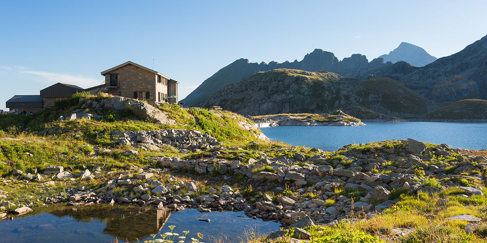
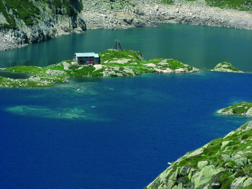
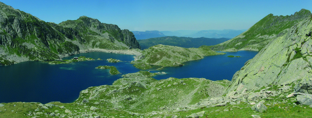
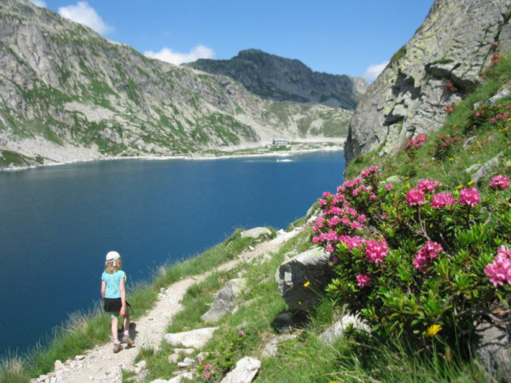
The Les 7 Laux refuge sits on an island at an altitude of 2,135 m, surrounded by the Rocher Blanc and the Pic de la Belle Etoile, and the clear blue waters of 12 mountain lakes.Getting there : By Belledonne, two routes are possible among others to access the refuge: Fond de France or Le Pleynet. After Allevard les Bains, direction Fond de France or Le Pleynet. At Fond de France, the trail starts in the car park next to the gîte l’Essentiel. At Le Pleynet take the forest road at the end of the car park (the one up).
High gain : 1100
Walking time : 4 to 5h
Ease of access : difficult
IGN map : n°3335 ET

Situated in the heart of the Belledonne massif on the GR 738, the Habert d'Aiguebelle refuge (1,735 m) was completely renovated in 2017 from an old building that was once used as a sheepfold.
 Isère Outdoor - Trace - Hiking: Le Pleynet - La Combe du Pra