Walking trail: Le sacré coeur
Add to my favorites

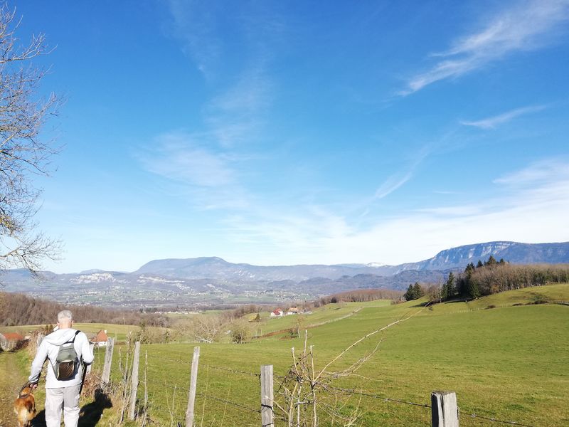
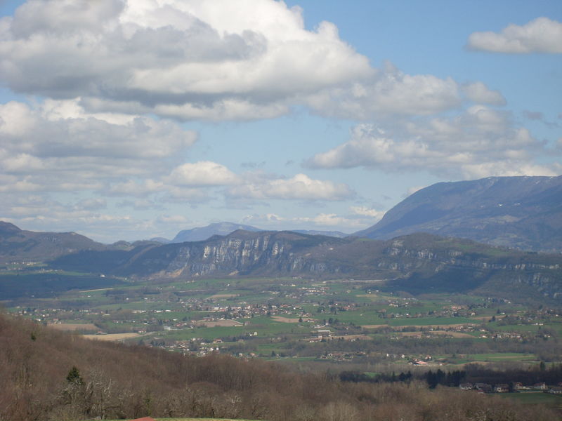
Peut-être rencontrerez-vous sur votre chemin un arbre qui a reçu un "coup d'arc-en-ciel"... Profitez d'un superbe panorama sur le village depuis la Crête de la Sauge. Une belle récompense après l'effort de la montée !
The characteristics of the route.

Saint-Bueil (38)
- Distance 6.4 km
- Elevation gain 300 m
- Elevation lost 300 m
- Min. elevation 376 m
- Max. elevation. 588 m
- Duration (depending on pace) 2h45
- Marking Yes
Admission fee : Free access.Opening : All year round daily.
Subject to favorable weather.
Area : Pays Voironnais
Report a problem
Website Pdf file Features of the application :
- Location and orientation on detailed maps thanks to the GPS of your smartphone
- Description of routes and points of interest on the route
- Photo gallery by route
- Detailed elevation profile
- Route tracking alert to warn you if you stray from the route
- Send predefined messages by SMS to your contacts
- Emergency module: trigger a call or send an emergency SMS in case of problem
- Agenda: access to events organized in the department
- News: find in the application the latest news on the web portal
- Adding achievements
- Add reports in case of problems encountered on the routes
- Share on social networks
Add your time and share your feelings
Services nearby

Relais Cyné de Montferrat
Montferrat

Local Resistance and Deportation Museum
Le Pont-de-Beauvoisin
Wood Machine Museum
Le Pont-de-Beauvoisin

Tourist Information Office of Pont-de-Beauvoisin - Office de Tourisme des Vals du Dauphiné
Le Pont-de-Beauvoisin
Pégoud Museum
Montferrat


Information updated on 2025-12-09 by Office de Tourisme du Pays Voironnais


Follow us on
the digital trails
the digital trails


![]()
The Isère Outdoor application was created
by the Département de l'Isère
Infos & contact
Conseil départemental de l'Isère
7 rue Fantin Latour
CS 41096
38 022 Grenoble cedex 1
Tel. 04 76 00 38 38
 Isère Outdoor - Parcours - Walking trail: Le sacré coeur
Hello, world! This is a toast message.
Isère Outdoor - Parcours - Walking trail: Le sacré coeur
Hello, world! This is a toast message.
Isère Outdoor - Parcours - Walking trail: Le sacré coeur
Hello, world! This is a toast message.


OK
Annuler