Entre Varèze et Bonnevaux
Add to my favorites

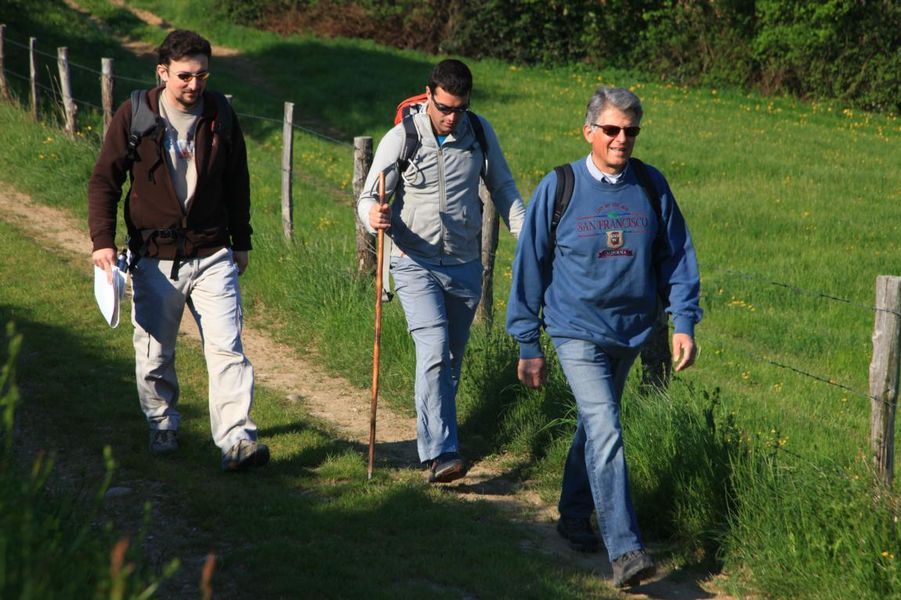
Dans un paysage verdoyant de forêt et d'étangs créés au Moyen-Age, vous découvrirez le village de St Julien de l'Herms sur le plateau de Bonnevaux.
The characteristics of the route.

Saint-Julien-de-l'Herms (38)
- Distance 10 km
- Elevation gain 140 m
- Elevation lost 140 m
- Min. elevation 412 m
- Max. elevation. 500 m
- Duration (depending on pace) 2h50
- Marking No
Admission fee : Free of charge.Opening : From 01/01 to 31/12 daily.
Area : Entre Bièvre et Rhône
Report a problem
Website Features of the application :
- Location and orientation on detailed maps thanks to the GPS of your smartphone
- Description of routes and points of interest on the route
- Photo gallery by route
- Detailed elevation profile
- Route tracking alert to warn you if you stray from the route
- Send predefined messages by SMS to your contacts
- Emergency module: trigger a call or send an emergency SMS in case of problem
- Agenda: access to events organized in the department
- News: find in the application the latest news on the web portal
- Adding achievements
- Add reports in case of problems encountered on the routes
- Share on social networks
Add your time and share your feelings
Services nearby

Espace naturel sensible Les fontaines de Beaufort
Beaufort
Espace naturel sensible de l'étang de Montjoux
Saint-Jean-de-Bournay

Office de tourisme
Beaurepaire
Espace naturel sensible de la Salette
Bellegarde-Poussieu
La Côte-Saint-André Tourist information center
La Côte-Saint-André


Information updated on 2025-12-03 by Office de Tourisme Entre Bièvre et Rhône


Follow us on
the digital trails
the digital trails


![]()
The Isère Outdoor application was created
by the Département de l'Isère
Infos & contact
Conseil départemental de l'Isère
7 rue Fantin Latour
CS 41096
38 022 Grenoble cedex 1
Tel. 04 76 00 38 38
 Isère Outdoor - Parcours - Entre Varèze et Bonnevaux
Hello, world! This is a toast message.
Isère Outdoor - Parcours - Entre Varèze et Bonnevaux
Hello, world! This is a toast message.
Isère Outdoor - Parcours - Entre Varèze et Bonnevaux
Hello, world! This is a toast message.


OK
Annuler