Passerelle de l'Ebron (par la piste)
Add to my favorites

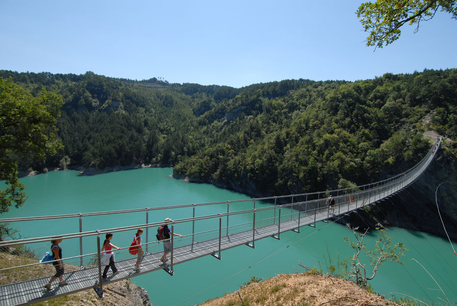
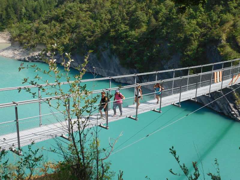
The easiest way to see the famous Ebron footbridge, this round trip on the trail has the advantage of offering a clear view of the lake at the start of the route. It's also possible to take it with the help of an all-terrain baby carriage.
The characteristics of the route.

Treffort (38)
- Distance 6.8 km
- Elevation gain 150 m
- Elevation lost 150 m
- Min. elevation 495 m
- Max. elevation. 561 m
- Duration (depending on pace) 2h30
- Marking Yes
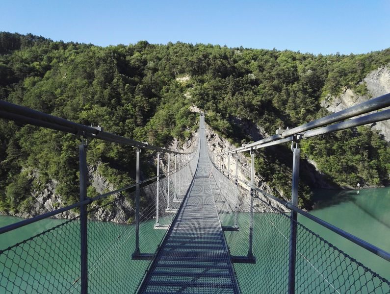
Want to see the Ebron footbridge without too much climbing? This trail is ideal for the whole family!Marking : Yellow line markings (PR)Equipments : Picnic area, Public WC, Car park, Pay car park, Delicate passages : The walkways are suspended almost 80 metres above the void. If you're prone to vertigo, they may not be recommended.Admission fee : Free access.Opening : All year round.Warning : On weekends in June, July and August, this hike is very busy, making it difficult to fully appreciate this extraordinary experience. We advise you to do this loop at the end of the season.Step by step description : Departure point: From the Parking des Vignes, walk back to the entrance to the parking lot where the "Herbelon" post is located.
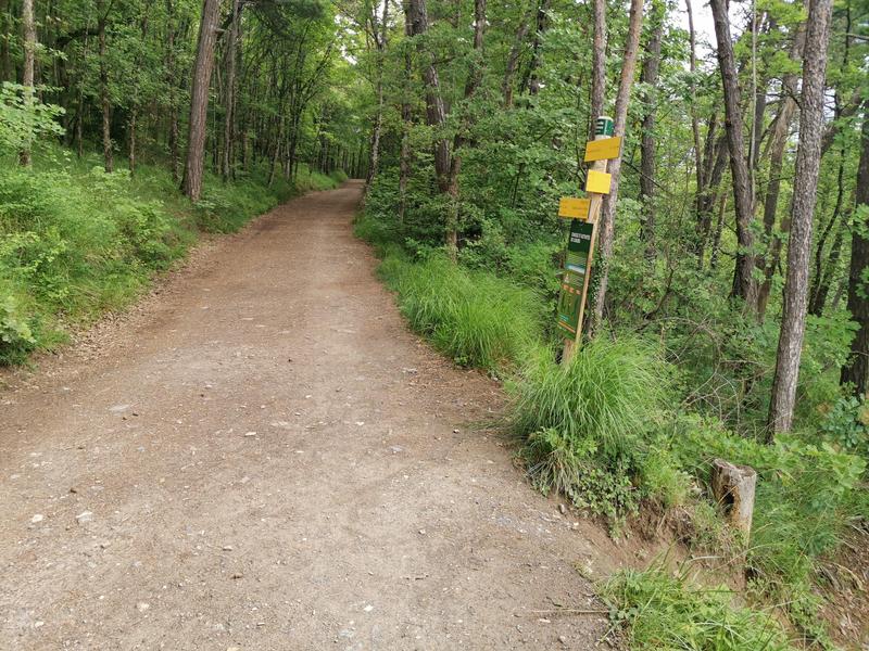
1) Take the asphalt road up towards "Passerelle de l'Ebron par la piste". A little further up, take the track on the left through the barrier.
2) Follow the track towards the Passerelle de l'Ebron, passing the "Baraton Haut", "Ruisseau Baraton" and "Les Sagnes" signposts. The trail overlooks the lake and offers fine views.
3) From the "Les Sagnes" post, continue along the trail towards "Passerelle de l'Ebron".
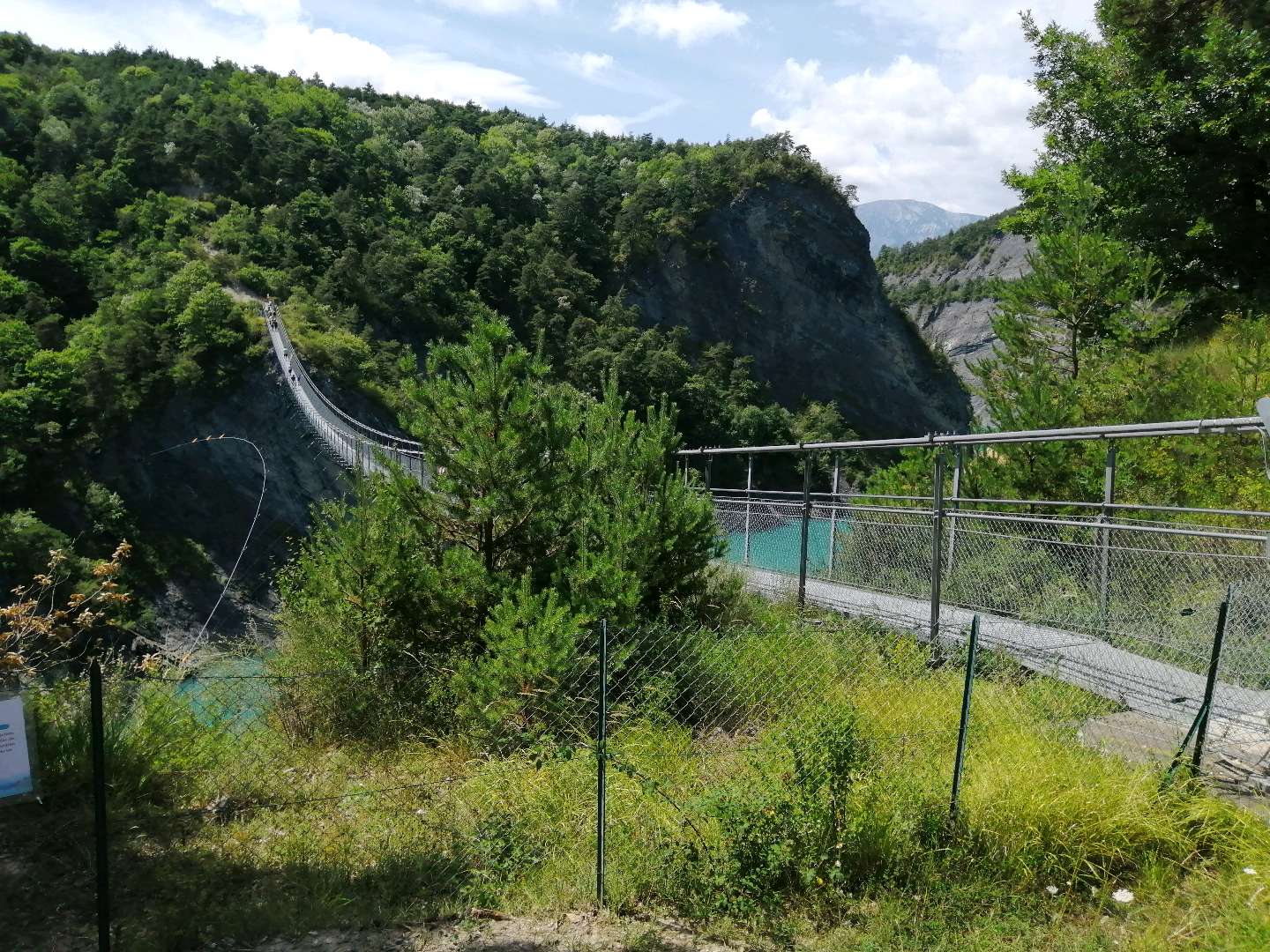
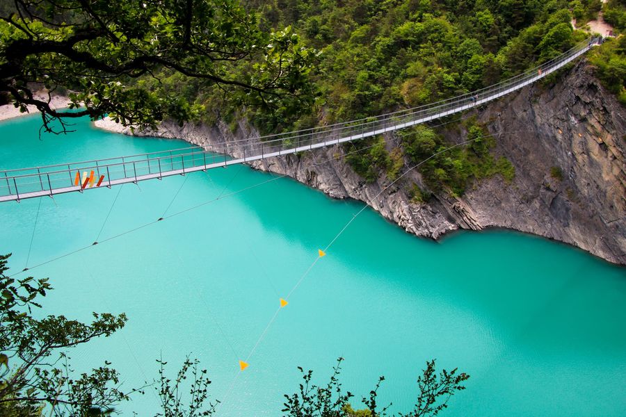
4) You'll arrive at the Passerelle de l'Ebron, with the option of a round-trip crossing if you're not afraid of heights!
5) The return journey takes the same route back to the Les Vignes parking lot.
Area : Trièves
Report a problem
Website Pdf file Features of the application :
- Location and orientation on detailed maps thanks to the GPS of your smartphone
- Description of routes and points of interest on the route
- Photo gallery by route
- Detailed elevation profile
- Route tracking alert to warn you if you stray from the route
- Send predefined messages by SMS to your contacts
- Emergency module: trigger a call or send an emergency SMS in case of problem
- Agenda: access to events organized in the department
- News: find in the application the latest news on the web portal
- Adding achievements
- Add reports in case of problems encountered on the routes
- Share on social networks

sandryne-38
finished in 03:01:00
The 2025/07/27
En savoir plus
Ajouter votre chrono et partager vos sensations
Services nearby

Point d'information touristique du Môle (Lac de Monteynard-Avignonet)
Treffort
Point d'Information Touristique de Gresse en Vercors
Gresse-en-Vercors

Musée Matheysin
La Mure
Tourist office of La Motte d'Aveillans
La Motte-d'Aveillans
La Mine Image
La Motte-d'Aveillans


Information updated on 2024-07-19 by Office de Tourisme du Trièves


Follow us on
the digital trails
the digital trails





The Isère Outdoor application was created
by the Département de l'Isère
Infos & contact
Conseil départemental de l'Isère
7 rue Fantin Latour
CS 41096
38 022 Grenoble cedex 1
Tel. 04 76 00 38 38
 Isère Outdoor - Parcours - Passerelle de l'Ebron (par la piste)
Hello, world! This is a toast message.
Isère Outdoor - Parcours - Passerelle de l'Ebron (par la piste)
Hello, world! This is a toast message.
Isère Outdoor - Parcours - Passerelle de l'Ebron (par la piste)
Hello, world! This is a toast message.


OK
Annuler