Le Platary
Add to my favorites

Caution! Zone of vigilance near the route
Charbonnier - du 10/06/2026 au 10/09/2026 In progress
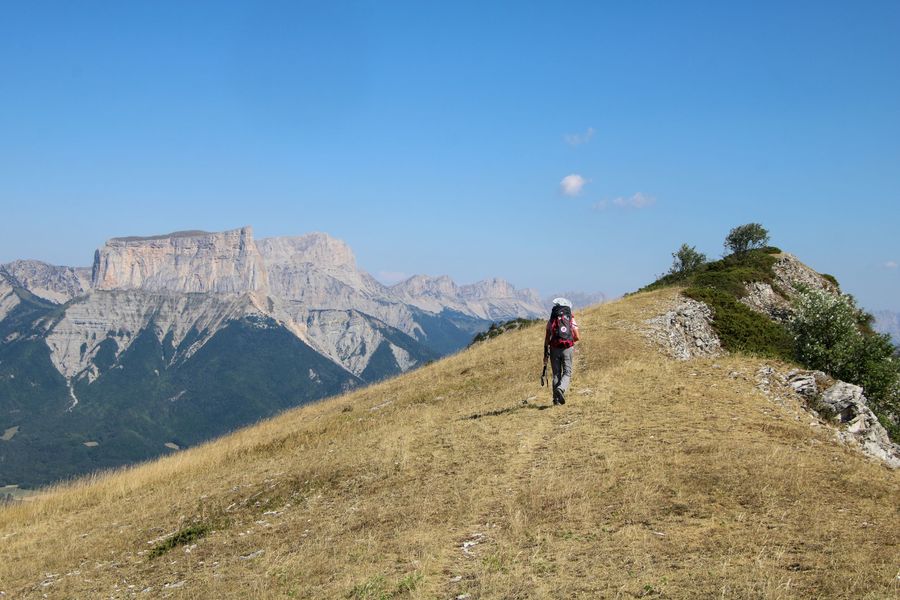
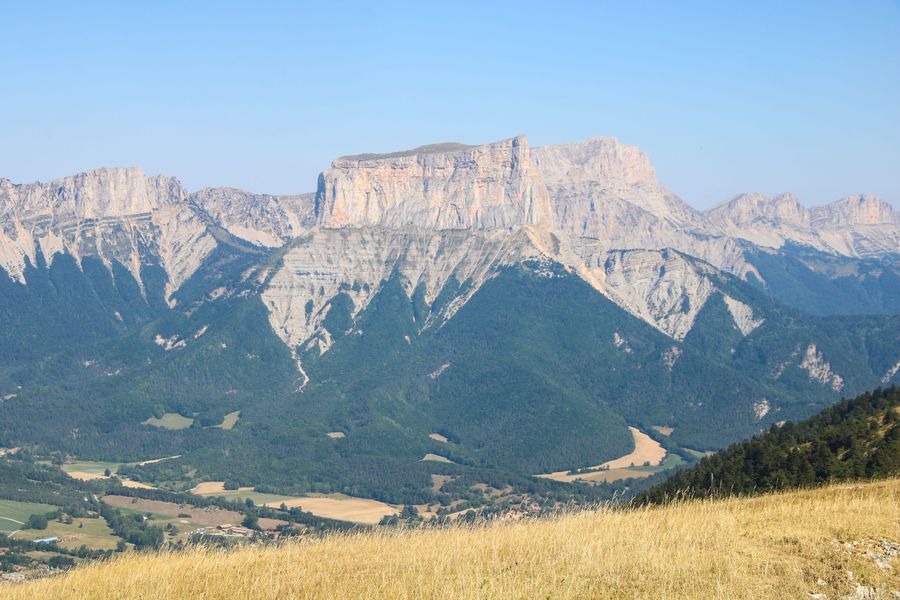
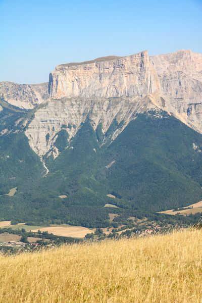
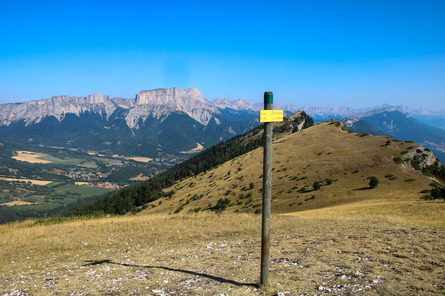
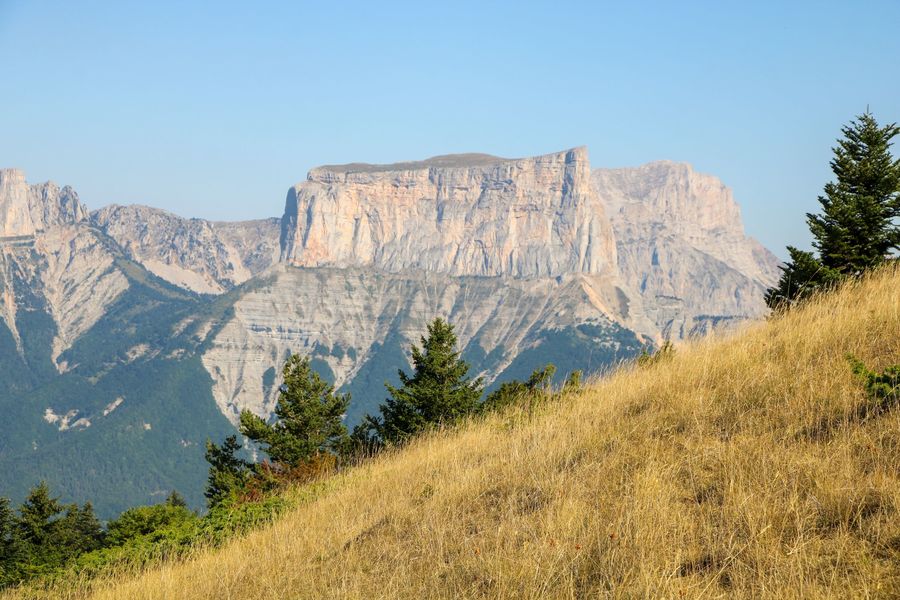
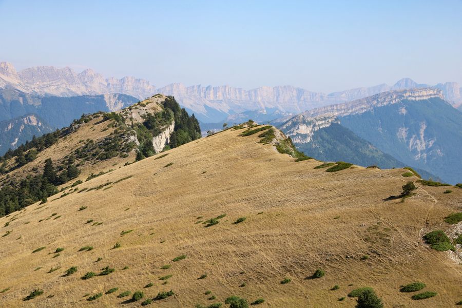
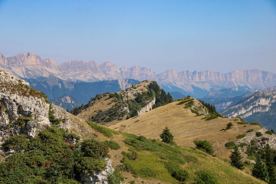
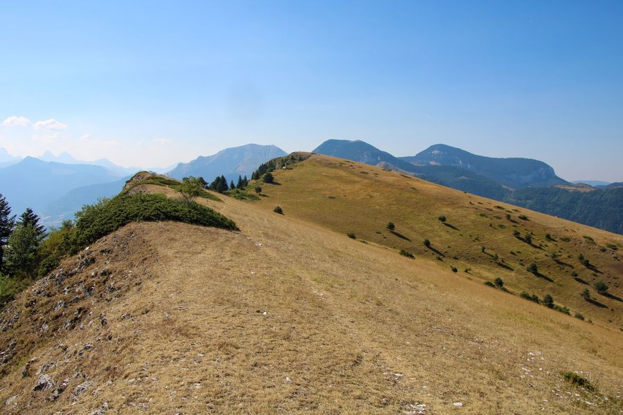
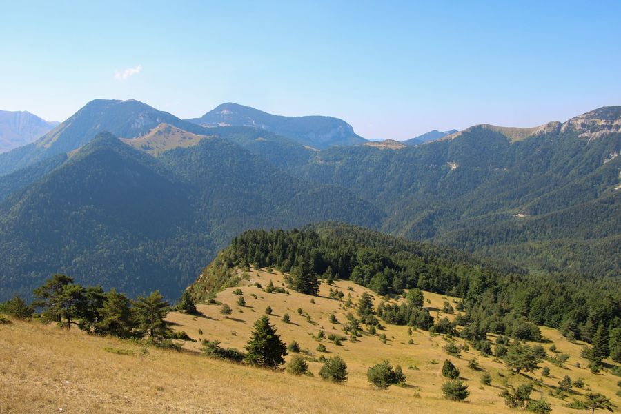
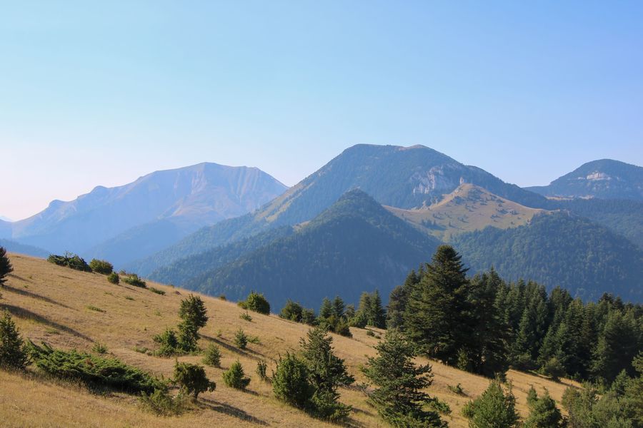
Embark on a hike to the Platary mountain pasture, offering magnificent panoramic views over the Trièves and the foothills of the Vercors massif, including the nearby Mont-Aiguille!
The characteristics of the route.

Chichilianne (38)
- Distance 3.9 km
- Elevation gain 400 m
- Elevation lost 400 m
- Min. elevation 1182 m
- Max. elevation. 1574 m
- Duration (depending on pace) 2h
- Marking Yes
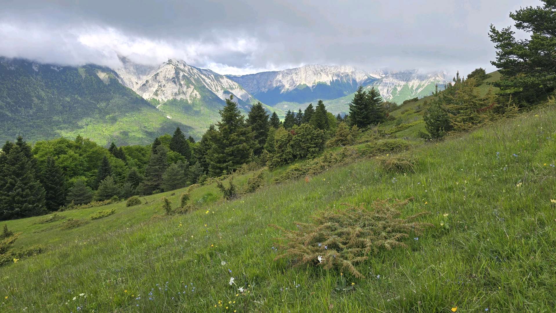
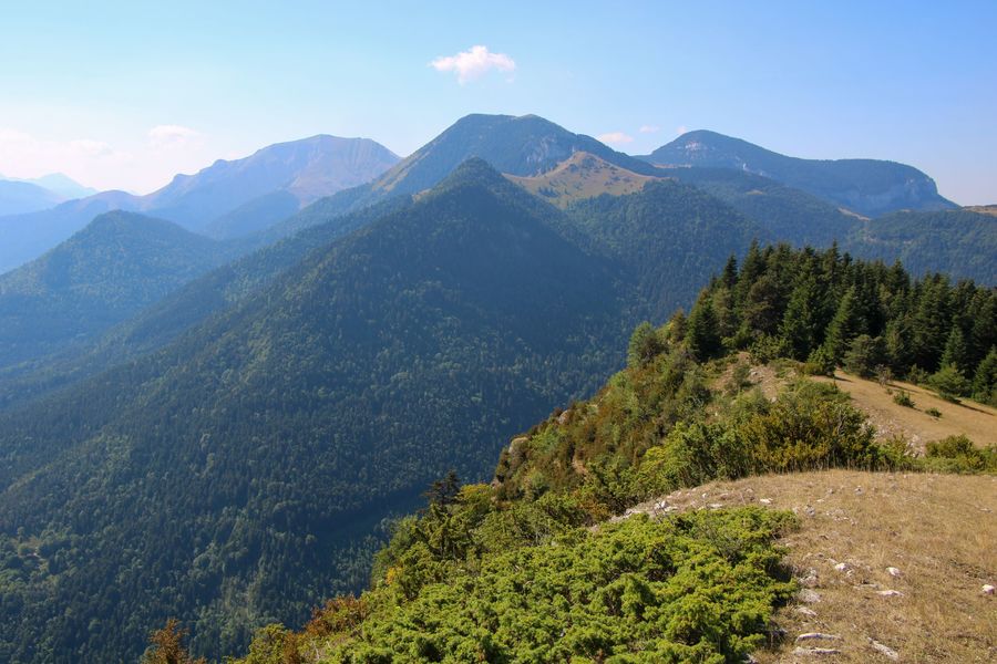
A beautiful out-and-back hike through the typical Vercors mountain pastures. This quick outing can easily be enjoyed by the whole family.Marking : Green and yellow line markings (PR Vercors)Equipments : Picnic area, Car park, Free car park, Admission fee : Free access.Opening : All year round daily.
Subject to favorable weather.Step by step description : Departure : Park your car at the Col du Prayer parking lot. You'll find a picnic area and a parking lot. Look for the yellow sign indicating the start of your walk, entitled "Col du Prayer".
1) From the "Col du Prayer" post, follow the signs for "Les Sagnes" along the road on your left. A few hundred metres further on, you'll find the post.
2) Follow the signs for Le Platary, taking the path leading up to the right. This little path runs through a forest, climbs steeply and allows you to gain height very quickly. Later you'll leave the forest and find the start of a beautiful alpine pasture.
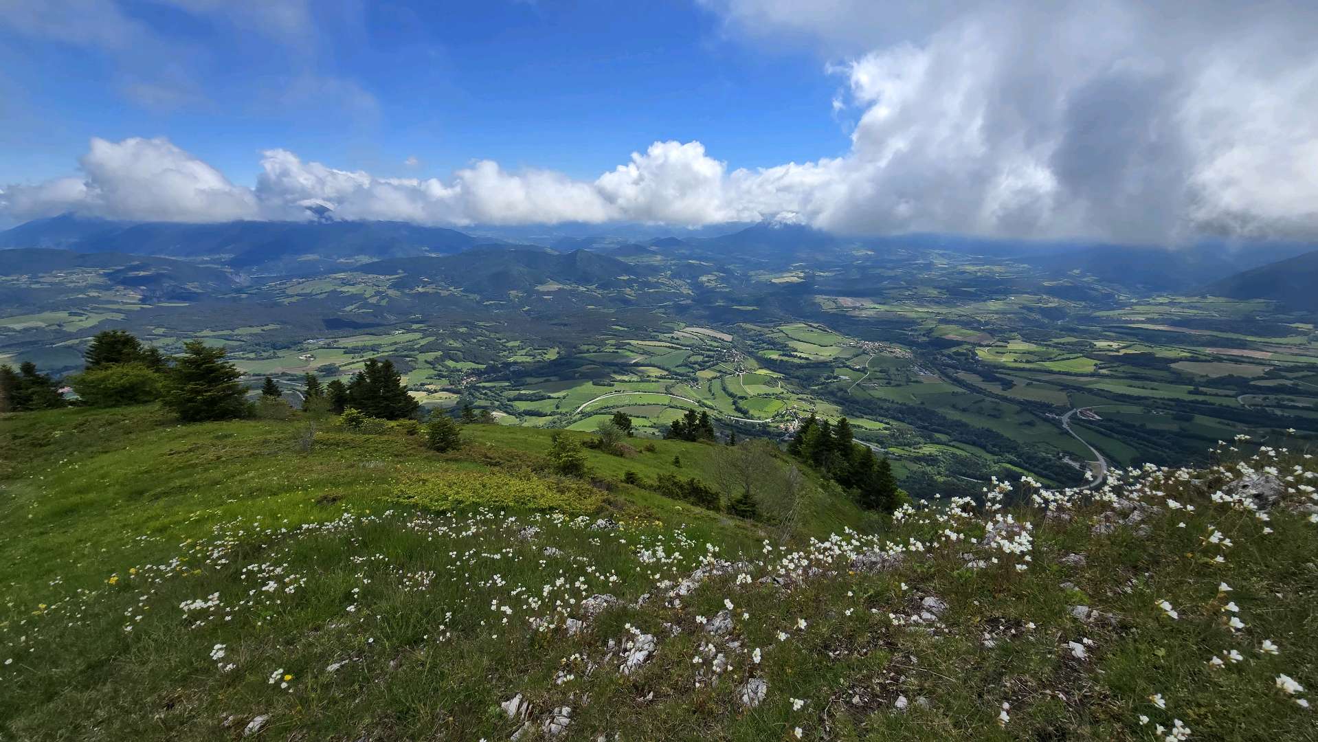
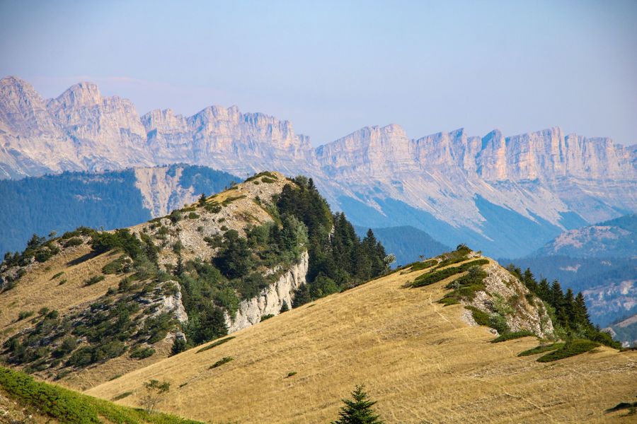
3) Continue in the direction of Platary. You'll have to cross the alpine pasture (if there's a flock of sheep, remember to go around it without disturbing them). The path is difficult to see, so be careful and make sure you're always on the right track by following the markings. You'll soon reach the summit, where you'll find the Trièves in front of you and the magnificent cliffs of the Vercors behind.
4) To get back down, take the same route. First pass through the alpine pasture, then take the forest path that leads directly to the road at "Les Sagnes". Turn left towards "Col du Prayer".
Area : Trièves
Report a problem
Website Pdf file Features of the application :
- Location and orientation on detailed maps thanks to the GPS of your smartphone
- Description of routes and points of interest on the route
- Photo gallery by route
- Detailed elevation profile
- Route tracking alert to warn you if you stray from the route
- Send predefined messages by SMS to your contacts
- Emergency module: trigger a call or send an emergency SMS in case of problem
- Agenda: access to events organized in the department
- News: find in the application the latest news on the web portal
- Adding achievements
- Add reports in case of problems encountered on the routes
- Share on social networks

CatherineB
finished in 02:00:00
The 2025/05/26
En savoir plus
Ajouter votre chrono et partager vos sensations
2025/05/26 02:00:00
CatherineB
CatherineB
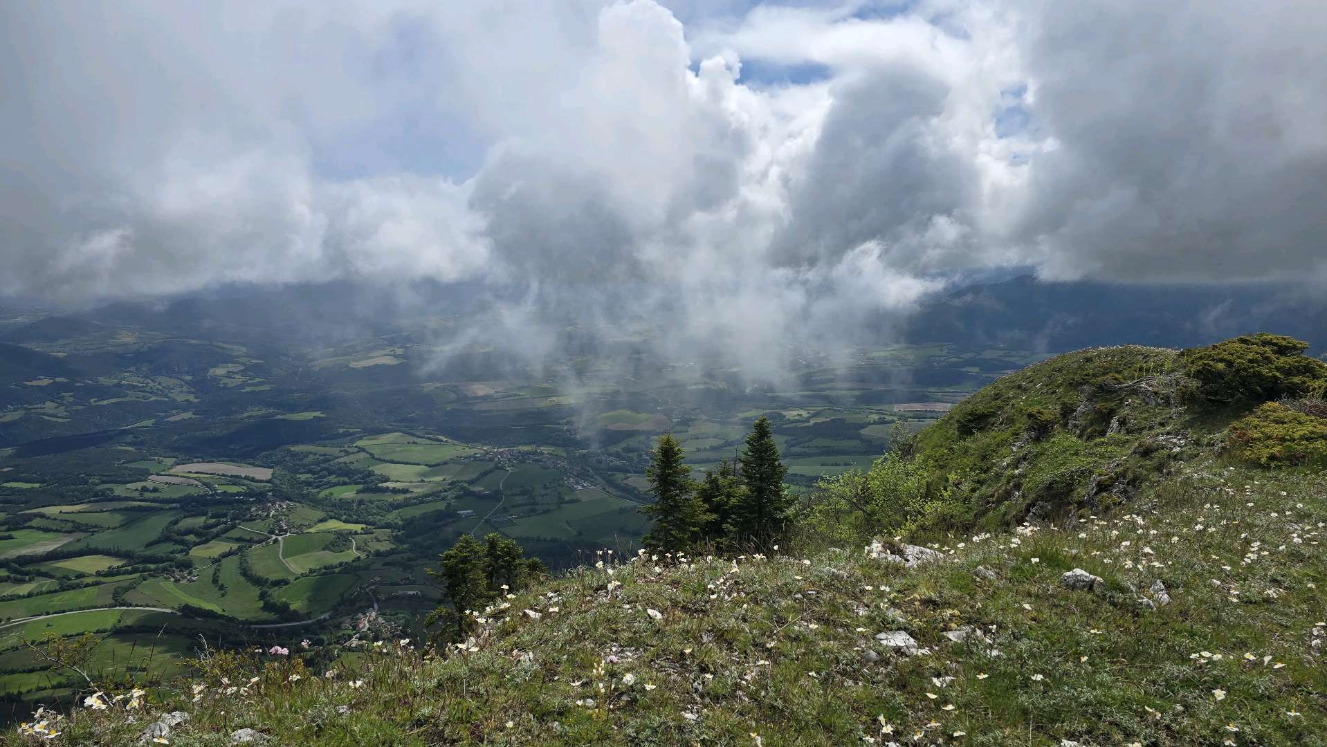
Montée très raide et chemin caillouteux pas top pour un vieux chien. Nous avons réussi à faire une boucle en descendant par la bergerie et en traversant les paturages sans trop de chemin. Après l’effort le réconfort avec la vue panoramique, présence de brouillard mais un vrai plaisir des yeux.
2025/05/26 02:00:00
CatherineB
CatherineB
Montée très raide et chemin caillouteux pas top pour un vieux chien. Nous avons réussi à faire une boucle en descendant par la bergerie et en traversant les paturages sans trop de chemin. Après l’effort le réconfort avec la vue panoramique, présence de brouillard mais un vrai plaisir des yeux.
Services nearby

Point d'information touristique de Chichilianne
Chichilianne

Foyer nordique de Chichilianne
Chichilianne

Espace Giono
Lalley
Point d'information touristique de Tréminis
Tréminis
Trièves Museum
Mens


Information updated on 2025-07-31 by Office de Tourisme du Trièves


Follow us on
the digital trails
the digital trails





The Isère Outdoor application was created
by the Département de l'Isère
Infos & contact
Conseil départemental de l'Isère
7 rue Fantin Latour
CS 41096
38 022 Grenoble cedex 1
Tel. 04 76 00 38 38
 Isère Outdoor - Parcours - Le Platary
Hello, world! This is a toast message.
Isère Outdoor - Parcours - Le Platary
Hello, world! This is a toast message.
Isère Outdoor - Parcours - Le Platary
Hello, world! This is a toast message.



OK
Annuler