Le Tour de l'Aup
Add to my favorites

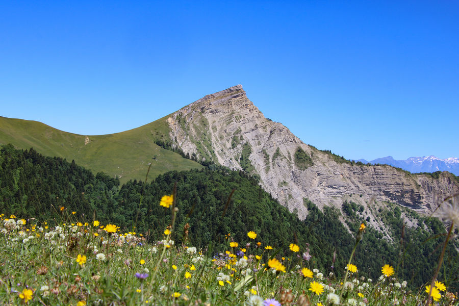
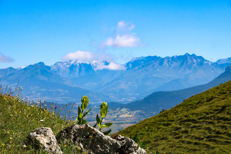
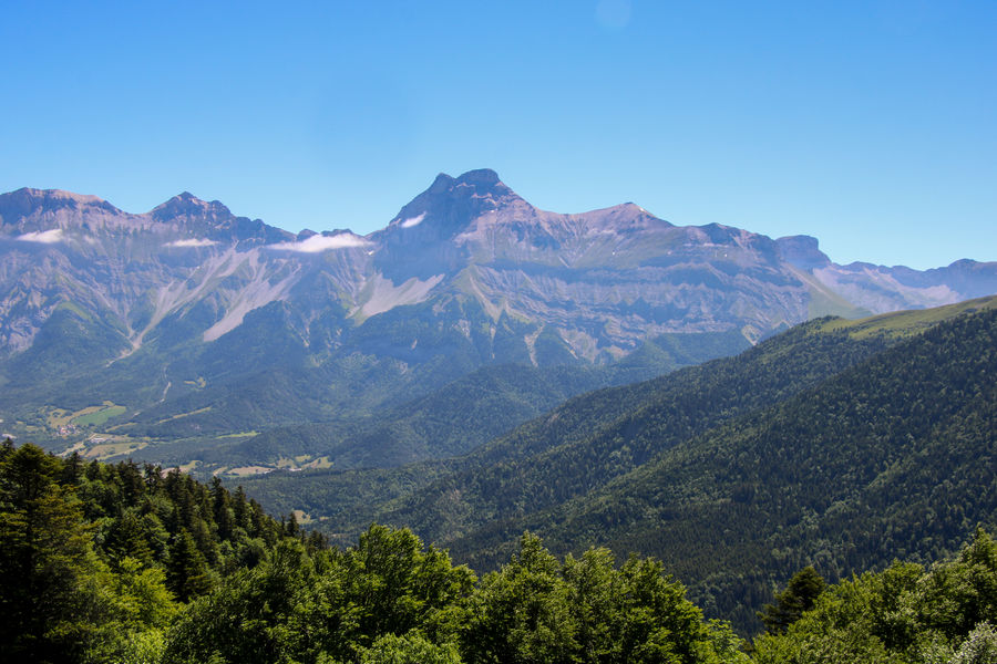
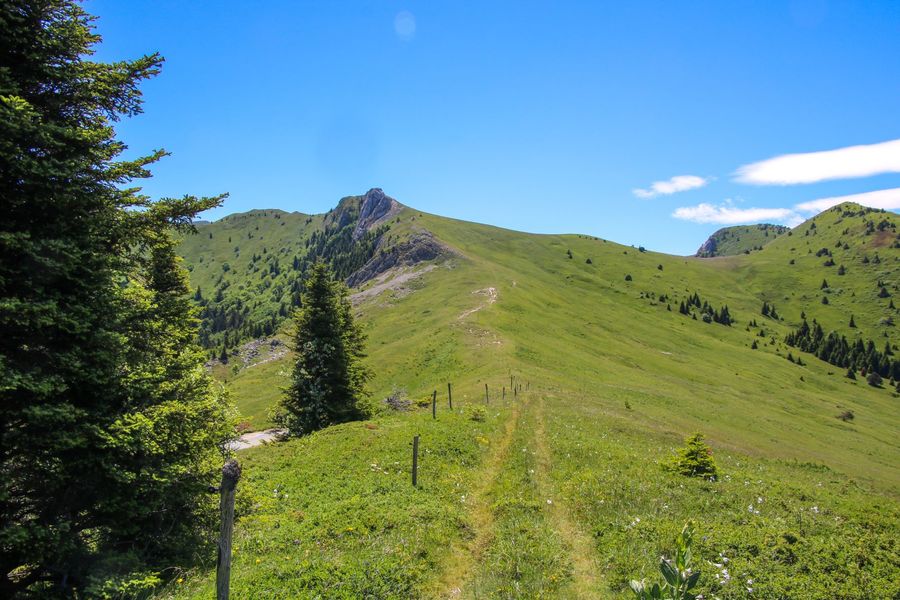
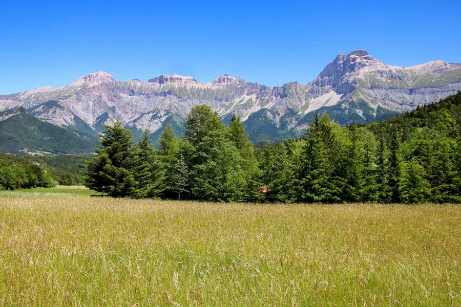
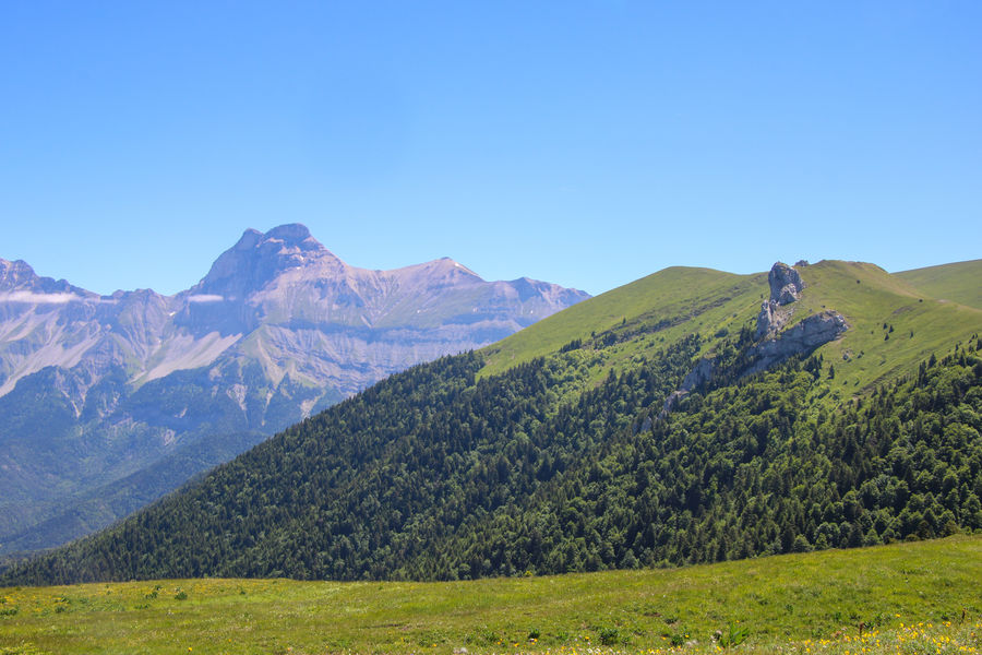
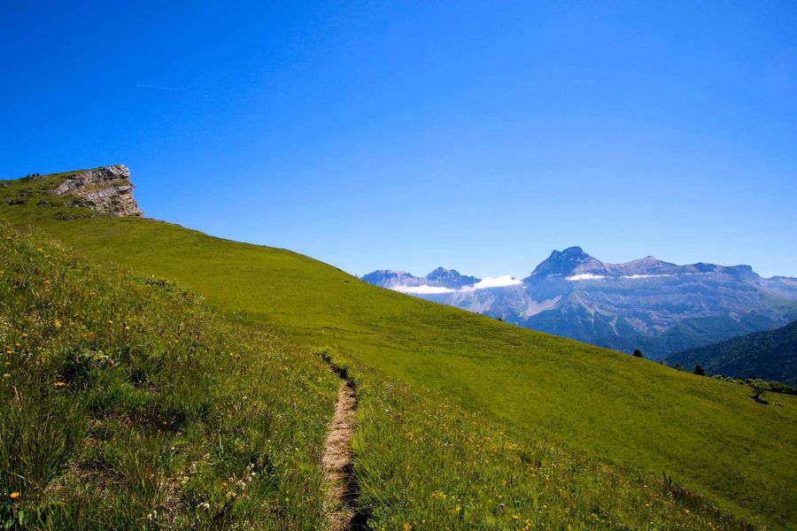
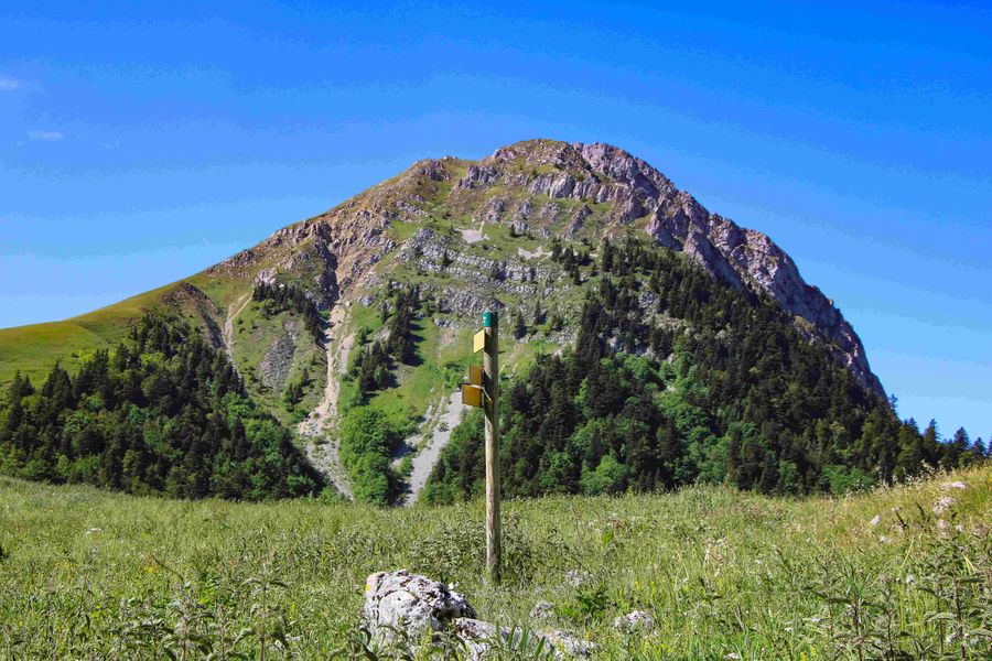
Prenez le départ pour une belle randonnée à travers forêts et alpages. Une succession de Cols vous attend pour vous offrir des panoramas tous aussi beaux les uns que les autres. Les paysages du Trièves seront vous séduire.
The characteristics of the route.

Tréminis (38)
- Distance 14.9 km
- Elevation gain 870 m
- Elevation lost 870 m
- Min. elevation 846 m
- Max. elevation. 1604 m
- Duration (depending on pace) 5h
- Marking Yes
Admission fee : Free access.Opening : All year round.
Area : Trièves
Report a problem
Website Pdf file Features of the application :
- Location and orientation on detailed maps thanks to the GPS of your smartphone
- Description of routes and points of interest on the route
- Photo gallery by route
- Detailed elevation profile
- Route tracking alert to warn you if you stray from the route
- Send predefined messages by SMS to your contacts
- Emergency module: trigger a call or send an emergency SMS in case of problem
- Agenda: access to events organized in the department
- News: find in the application the latest news on the web portal
- Adding achievements
- Add reports in case of problems encountered on the routes
- Share on social networks
Add your time and share your feelings
Services nearby

Point d'information Tréminis
Tréminis

Foyer nordique de Tréminis
Tréminis

Espace Giono
Lalley
Bureau d'Informations Touristiques de Mens - Office de Tourisme du Trièves
Mens
Musée du Trièves
Mens


Information updated on 2022-07-27 by Office de Tourisme du Trièves


Follow us on
the digital trails
the digital trails


![]()
The Isère Outdoor application was created
by the Département de l'Isère
Infos & contact
Conseil départemental de l'Isère
7 rue Fantin Latour
CS 41096
38 022 Grenoble cedex 1
Tel. 04 76 00 38 38
 Isère Outdoor - Parcours - Le Tour de l'Aup
Hello, world! This is a toast message.
Isère Outdoor - Parcours - Le Tour de l'Aup
Hello, world! This is a toast message.
Isère Outdoor - Parcours - Le Tour de l'Aup
Hello, world! This is a toast message.


OK
Annuler