Les Balcons du Drac
Add to my favorites

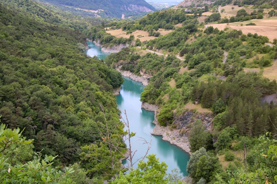
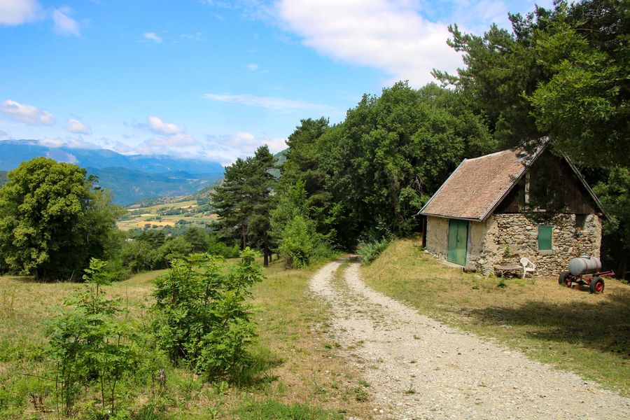
Discover a wild and secluded side of the Trièves region, along the Drac River. It plays hide-and-seek among the foliage, but still lets you catch a glimpse of its turquoise waters from time to time!
The characteristics of the route.

Saint-Jean-d'Hérans (38)
- Distance 8.5 km
- Elevation gain 370 m
- Elevation lost 370 m
- Min. elevation 493 m
- Max. elevation. 821 m
- Duration (depending on pace) 3h
- Marking Yes
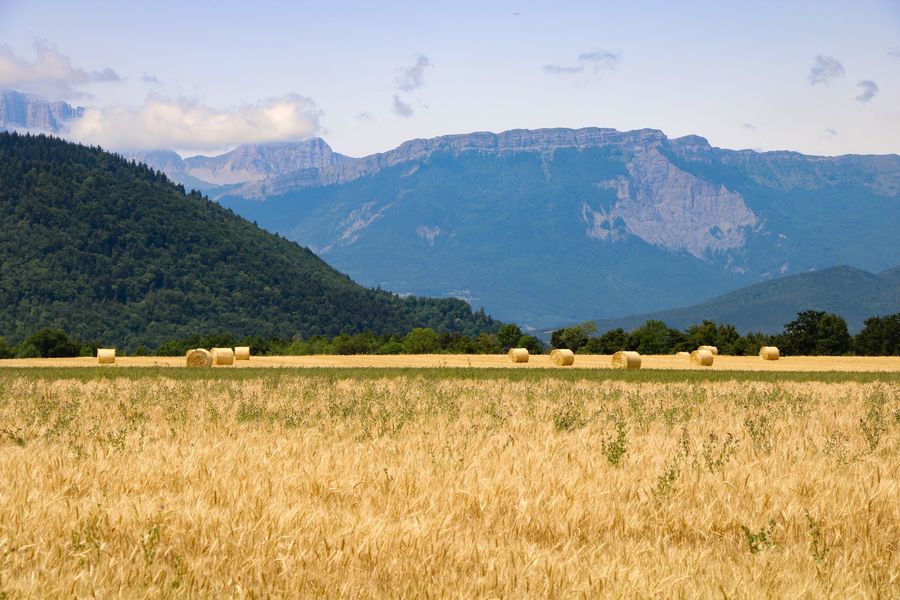
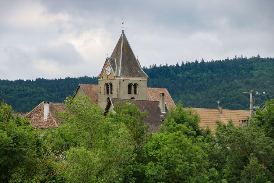
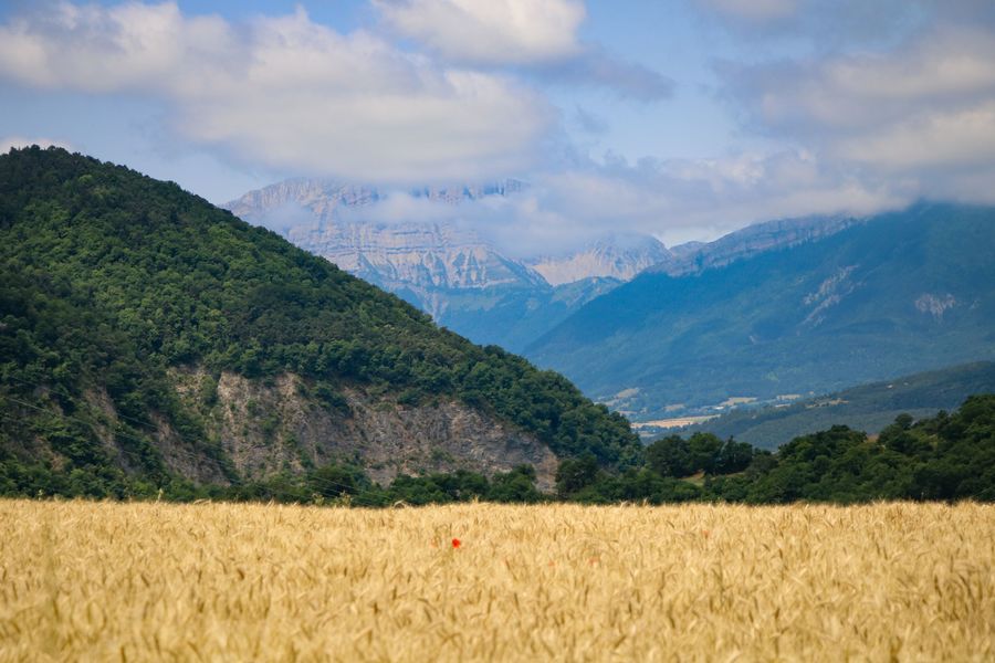
Although mostly through the woods, this hike nevertheless offers varied views of the Trièves, Vercors, and Matheysine mountains, as well as occasional glimpses of the Drac River, which winds through the valley floor before flowing into Lake Monteynard-Avignonet.Marking : Yellow line markings (PR)Equipments : Car park, Free car park, Admission fee : Free access.Opening : All year round daily.Step by step description : Start: Park in the Saint Jean d'Hérans church parking lot. You'll find the first signpost pointing in several directions. Follow the signs for "Cimetière" and the hamlet of "Des Rives". To do this, you'll pass through the village of Saint Jean d'Hérans, to exit quickly across the fields. You'll soon find the cemetery.
1) From the "Cimetière" post, head for "Paquiers". A long, long descent on a track takes you to the hamlet. You'll pass through a variety of scenery, forests, fields... From the hamlet of "Paquiers", follow the signs for "Les Rives". This charming little hamlet borders the Drac. Cross it, following the signs, and continue downhill.
2) From the "les Rives" post, head into the forest towards "les Chaux". A path gradually descends to the Drac balconies. From here, the view of the river is magnificent. From here, the view of the river is magnificent. Enjoy the freshness of the many streams you'll cross on your way to the "Les Chaux" signpost.
3) From "Les Chaux", follow the signs for "Caillat". This will take you up to the village of Saint Jean D'hérans. The first part is pleasantly wooded, followed by a more exposed section offering lovely views of the Drac. You'll soon reach the "Caillat" signpost.
4) From the "Caillat" post, head for "Saint jean d'Hérans". A little further on, you'll come to a second signpost entitled "Caillat 2", turn left in the direction of "Tracot". There's a good climb ahead, through thick forest. You'll soon reach the "Tracot" signpost.
5) Continue in the direction of "Saint jean d'Hérans". A wide forest track takes you back to the starting village. There are some fine views of the Vercors as you leave the forest. You finish the hike on the road back to the village where you left the car before.
Area : Trièves
Report a problem
Website Pdf file Features of the application :
- Location and orientation on detailed maps thanks to the GPS of your smartphone
- Description of routes and points of interest on the route
- Photo gallery by route
- Detailed elevation profile
- Route tracking alert to warn you if you stray from the route
- Send predefined messages by SMS to your contacts
- Emergency module: trigger a call or send an emergency SMS in case of problem
- Agenda: access to events organized in the department
- News: find in the application the latest news on the web portal
- Adding achievements
- Add reports in case of problems encountered on the routes
- Share on social networks
Add your time and share your feelings
Services nearby

Trièves Museum
Mens

Bureau d'Informations Touristiques de Mens - Office de Tourisme du Trièves
Mens
Musée Matheysin
La Mure
Point d'information touristique du Môle (Lac de Monteynard-Avignonet)
Treffort
La Mine Image
La Motte-d'Aveillans


Information updated on 2026-08-03 by Office de Tourisme du Trièves


Follow us on
the digital trails
the digital trails





The Isère Outdoor application was created
by the Département de l'Isère
Infos & contact
Conseil départemental de l'Isère
7 rue Fantin Latour
CS 41096
38 022 Grenoble cedex 1
Tel. 04 76 00 38 38
 Isère Outdoor - Parcours - Les Balcons du Drac
Hello, world! This is a toast message.
Isère Outdoor - Parcours - Les Balcons du Drac
Hello, world! This is a toast message.
Isère Outdoor - Parcours - Les Balcons du Drac
Hello, world! This is a toast message.


OK
Annuler