Le sentier de la résistance
Add to my favorites

Caution! Zone of vigilance near the route
Beau Sarret - les Prés de Ferrand - du 15/06/2026 au 06/10/2026 In progress
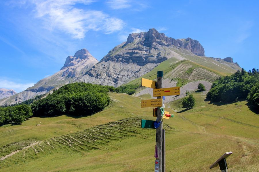
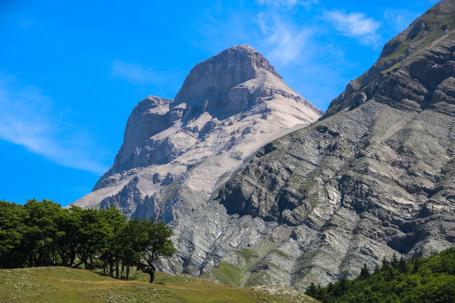
Follow in the footsteps of the maquisards of Tréminis and learn about the day on October 19, 1943, when the maquis was attacked by the German army. A pleasant and interesting loop that will give you a new perspective on the Grand Ferrand.
The characteristics of the route.

Tréminis (38)
- Distance 7.8 km
- Elevation gain 600 m
- Elevation lost 600 m
- Min. elevation 1011 m
- Max. elevation. 1594 m
- Duration (depending on pace) 3h30
- Marking Yes
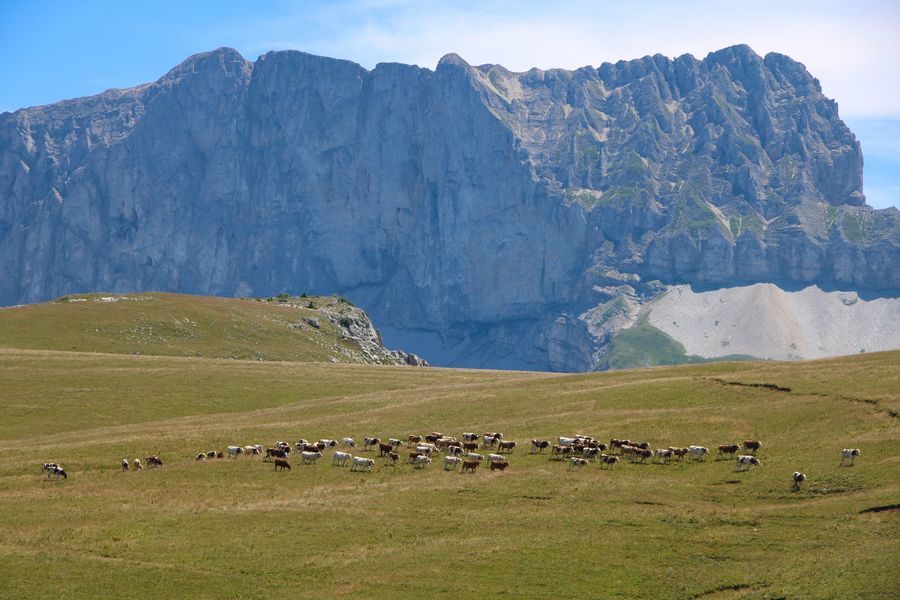
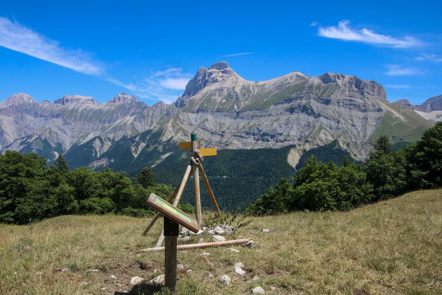
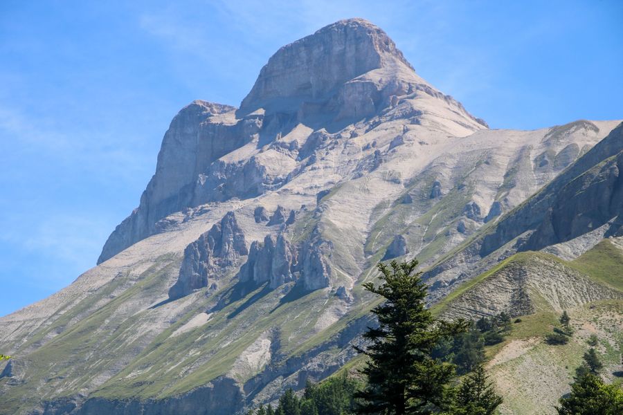
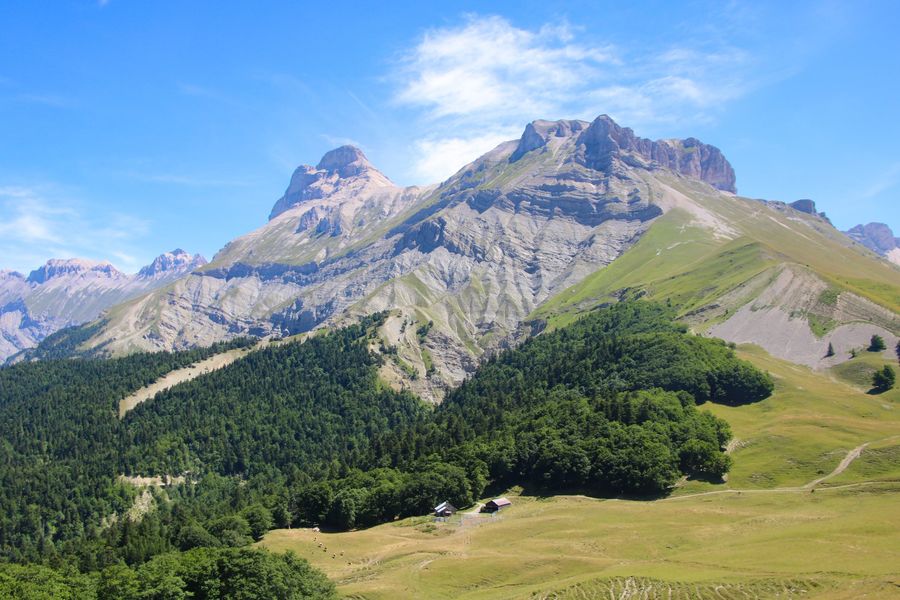
Come and enjoy this magnificent hike with its sumptuous views over the Dévoluy massif. This hike follows the painful story of the Tréminis maquis on October 19, 1943. To accompany your hike, you can buy the booklet available at tourist information points in the Trièves and at the Tréminis town hall.Marking : Yellow line markings (PR)Delicate passages : Caution on the descent, potentially tricky sections in case of rain.
Metal staircase with ten or so steps on the descent.Admission fee : Free access.Opening : All year round.
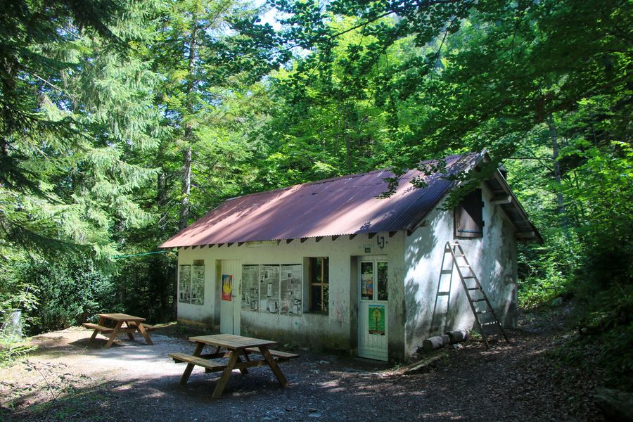
Subject to favorable weather.Step by step description : Departure: From the "Parking du pique nique du Grand Ferrand" in the commune of Tréminis. You'll find a hut that will be the starting point for your hike. Park close to the hut and read the information panels. Then take the wide track up to the "Pique-Nique du Grand-Ferrand" sign.
1) A wide track turns into a path and takes you very quickly into a beautiful forest after crossing the stream on the left. The climb is quite steep! The path continues until you reach the end of the forest, where you'll come to the "Les Fontettes" signpost.
2) From the "Les Fontettes" post, turn right towards "Col de la Croix" on a wide track. Follow it to enter the mountain pasture enclosure. You'll soon come to the next post entitled "Fontaine des Boeufs". Continue in the direction of Col de la Croix, following the track. You'll then come to a building with a sheepfold, head south along the track and you'll come to the "Refuge de la Croix" post. Continue for a few hundred metres and you'll find the "Col de la Croix".
3) From the "Col de la Croix" sign, follow the resistance trail towards "L'Alpage de la Paille". Here you can enjoy a magnificent view of the surrounding peaks, especially the Dévoluy. The ascent on the trail is gradual until you reach the post
"Alpage de Paille" post.
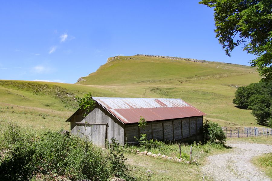
4) From the "Alpage de Paille" signpost, follow the yellow signs for "Ancienne bergerie". The path descends slightly and leads to the former sheepfold, which was destroyed during the Second World War. At the "Ancienne bergerie" post, follow the signs for "Stèle Amigoni" downhill towards the forest to the north. The forest is rather thick and often damp. Be careful, especially near the small metal staircase.
The rest of the descent is a series of small bends.
5) From "Stèle Amigoni", head downhill towards "Girardère". At the bottom of the descent, cross a small stream.
6) At the "Girardère" signpost, you're back on the track. Turn right in the direction of "Pique-Nique du Grand-Ferrand" to return to your starting point.
Area : Trièves
Report a problem
Website Pdf file Features of the application :
- Location and orientation on detailed maps thanks to the GPS of your smartphone
- Description of routes and points of interest on the route
- Photo gallery by route
- Detailed elevation profile
- Route tracking alert to warn you if you stray from the route
- Send predefined messages by SMS to your contacts
- Emergency module: trigger a call or send an emergency SMS in case of problem
- Agenda: access to events organized in the department
- News: find in the application the latest news on the web portal
- Adding achievements
- Add reports in case of problems encountered on the routes
- Share on social networks
Add your time and share your feelings
Services nearby

Foyer nordique de Tréminis
Tréminis

Point d'information touristique de Tréminis
Tréminis

Espace Giono
Lalley

Espace Naturel Sensible Sources des Gillardes
Pellafol
Bureau d'Informations Touristiques de Mens - Office de Tourisme du Trièves
Mens


Information updated on 2025-01-23 by Office de Tourisme du Trièves


Follow us on
the digital trails
the digital trails





The Isère Outdoor application was created
by the Département de l'Isère
Infos & contact
Conseil départemental de l'Isère
7 rue Fantin Latour
CS 41096
38 022 Grenoble cedex 1
Tel. 04 76 00 38 38
 Isère Outdoor - Parcours - Le sentier de la résistance
Hello, world! This is a toast message.
Isère Outdoor - Parcours - Le sentier de la résistance
Hello, world! This is a toast message.
Isère Outdoor - Parcours - Le sentier de la résistance
Hello, world! This is a toast message.





OK
Annuler