Crête de la Ferrière
Add to my favorites

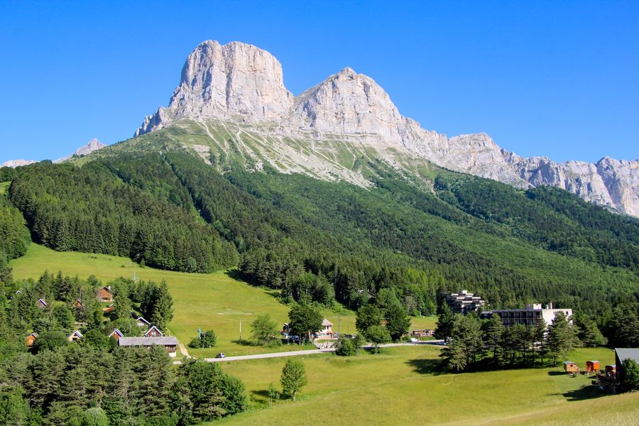
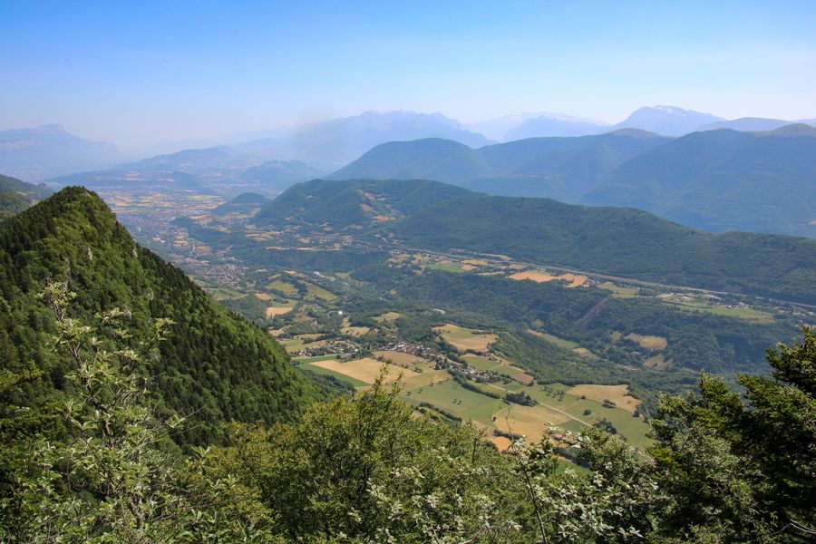
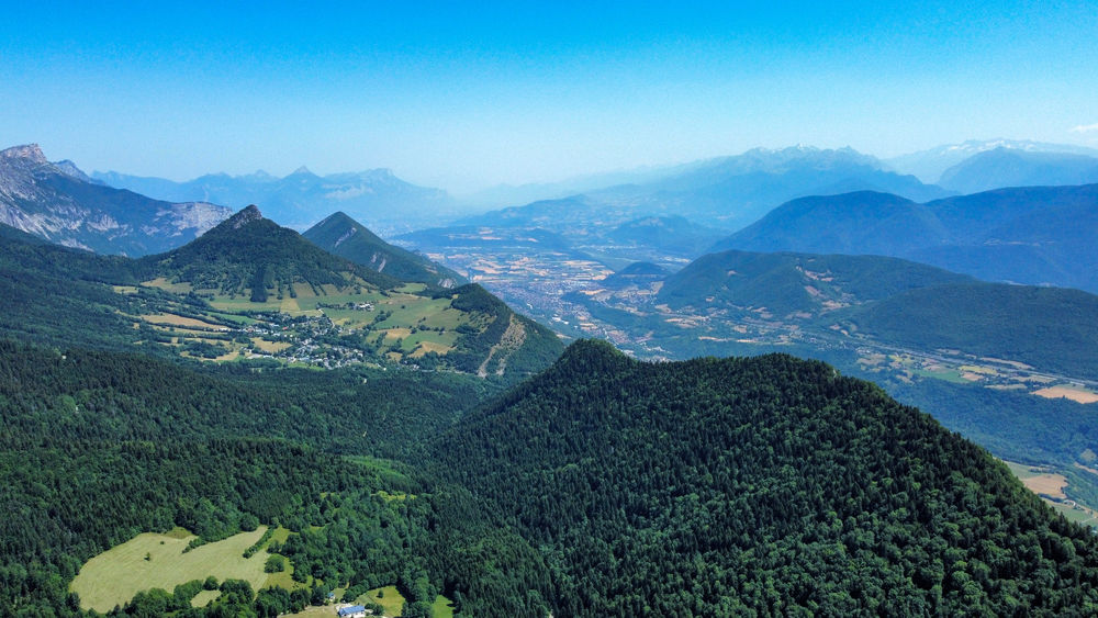
A pleasant hike starting from the Col de l'Arzelier that will give you the chance to gain height and a bird's eye view of the Trièves region. You won't want to miss the Two Sisters on your way out.
The characteristics of the route.

Château-Bernard (38)
- Distance 6.5 km
- Elevation gain 480 m
- Elevation lost 480 m
- Min. elevation 1014 m
- Max. elevation. 1490 m
- Duration (depending on pace) 3h
- Marking Yes
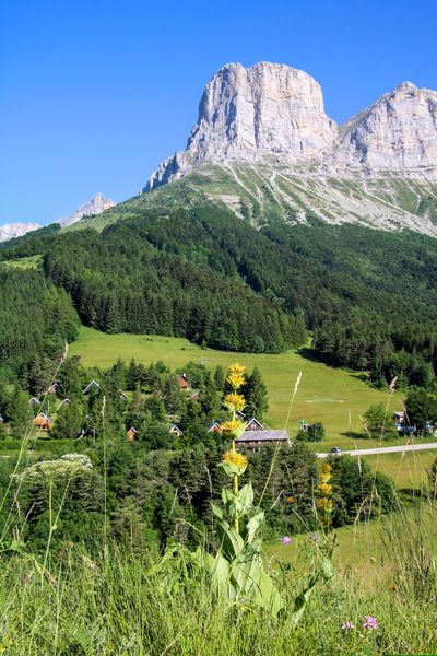
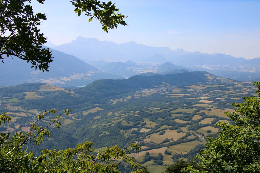
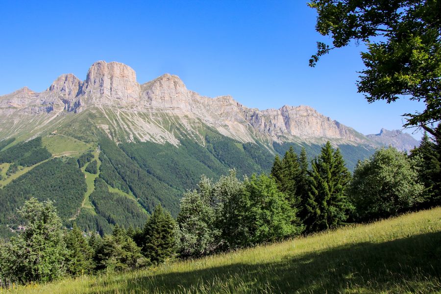
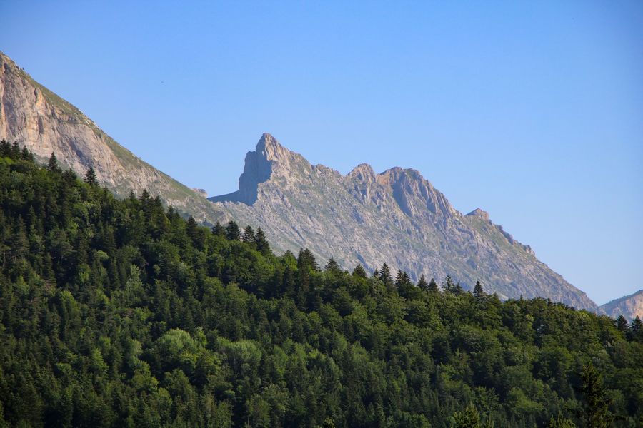
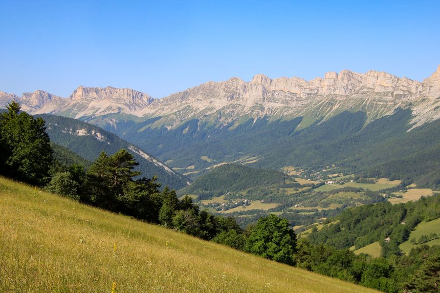
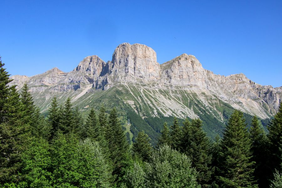
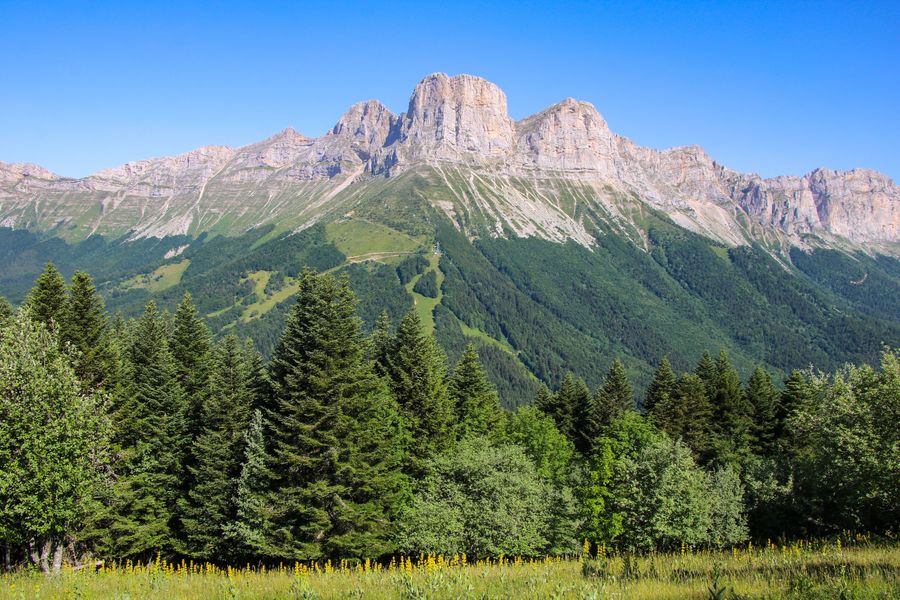
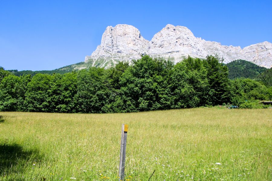
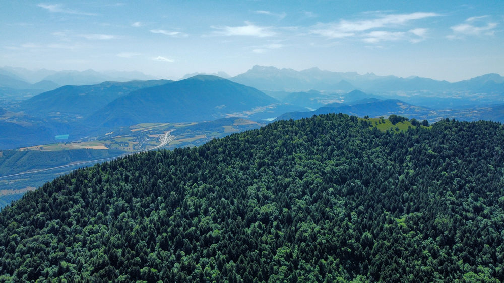
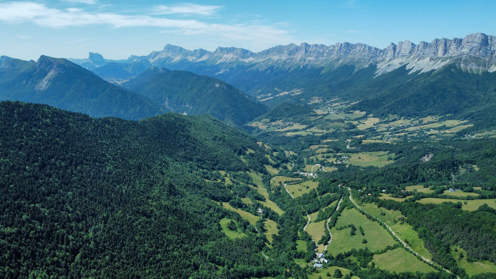
Let yourself be carried away by an outing in the fir forest, taking advantage of the natural freshness of the Vercors. This short ascent offers magnificent panoramic views of the Vercors chain and the Trièves region. When you reach the summit, take time to contemplate the surrounding peaks and spot the Lac de Monteynard-Avignonet in the distance. The rocks of the Two Sisters, Agathe and Sophie, face you!Marking : Green and yellow line markingsEquipments : Car park, Delicate passages : Be careful, some passages are close to the cliff.Admission fee : Free access.Opening : All year round.
Subject to favorable weather.Step by step description : Departure: Meet at Col de L'Arzelier in the commune of Château Bernard. There are several parking lots in the resort. Look for the "Col de l'Arzelier" sign (1155m) and follow the signs for "Pré du Playnet". A wide path leads you to the "Les Anémones" sign.
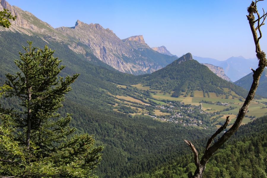
1) From "Les Anémones", take the right-hand path into a thick fir forest. A gradual climb through the forest quickly takes you up to the top of the mountain and the "Pré du Playnet" sign. Once here, you can take a rest at the picnic table or choose to walk a little further to the viewpoint. To do this, turn right at the signpost and walk for a hundred metres or so to find the view of Mont Aiguille and the Trièves (be careful, you're on the edge of a cliff, so don't get too close to the edge). Turn around to find the "Pré du Playnet" sign.
2) From "Pré du Playnet" head for "Combe Ravier", taking the path heading north, which takes you past the cliffs, where the view is magnificent. On your right, a view of the Trièves; on your left, a view of the Vercors and Les Deux Soeurs. Continue along the path into the forest, where a gradual descent takes place. Then comes a steeper descent, ending in a succession of small bends to the "Combe Ravier" sign.
3) From "Combe Ravier", a track descends on your right, leave it to continue straight downhill. A wide forest track descends into the forest. Follow it all the way down (caution: the forest track is used by maintenance vehicles, and can be very damaged.) Once you've reached the main asphalt road, cross it to return to the forest. This path climbs back up and avoids the road. Further on, you'll come to an intersection with the road: go down to the left, then immediately take the forest track which bends to the right.
4) From "Chatelard", continue straight ahead on the downhill track. A large forest track will take you to the bottom. Be careful, there's a marked path on the right which will help you avoid a hole in the track. When you reach the tarmac road, cross the stream and go straight ahead. A path leads off into the forest, follow it until you find a few houses and then the road again. At the intersection with the road, turn left to find a small path on the right at the next bend. Follow the signs to the "Les Anémones" sign you passed earlier.
5) From "Les Anémones", follow the signs for "Col de l'Arzelier" for a further hundred metres, until you reach the parking lot where you left your car.
Area : Trièves
Report a problem
Website Pdf file Features of the application :
- Location and orientation on detailed maps thanks to the GPS of your smartphone
- Description of routes and points of interest on the route
- Photo gallery by route
- Detailed elevation profile
- Route tracking alert to warn you if you stray from the route
- Send predefined messages by SMS to your contacts
- Emergency module: trigger a call or send an emergency SMS in case of problem
- Agenda: access to events organized in the department
- News: find in the application the latest news on the web portal
- Adding achievements
- Add reports in case of problems encountered on the routes
- Share on social networks
Add your time and share your feelings
Services nearby

Refuge La Soldanelle
Château-Bernard

Atelier Gilioli
Saint-Martin-de-la-Cluze

Foyer de ski de fond des Hauts Plateaux
Corrençon-en-Vercors
Musée Champollion
Vif

Office Municipal de Tourisme de Villard de Lans
Villard-de-Lans


Information updated on 2025-01-09 by Office de Tourisme du Trièves


Follow us on
the digital trails
the digital trails





The Isère Outdoor application was created
by the Département de l'Isère
Infos & contact
Conseil départemental de l'Isère
7 rue Fantin Latour
CS 41096
38 022 Grenoble cedex 1
Tel. 04 76 00 38 38
 Isère Outdoor - Parcours - Crête de la Ferrière
Hello, world! This is a toast message.
Isère Outdoor - Parcours - Crête de la Ferrière
Hello, world! This is a toast message.
Isère Outdoor - Parcours - Crête de la Ferrière
Hello, world! This is a toast message.



OK
Annuler