Boucle vélo de Meylan
Add to my favorites

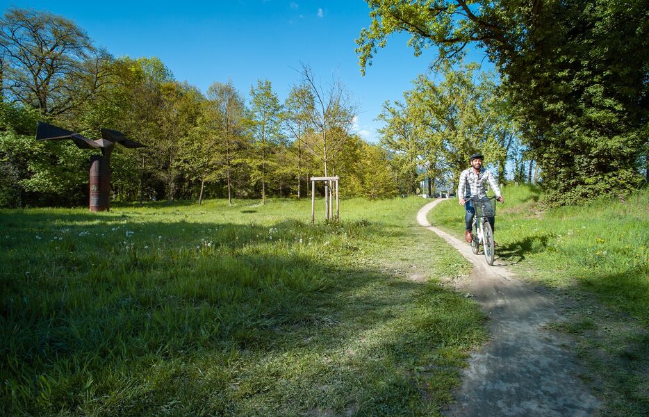
Your walk begins in the heart of the Campus. The first part of your ride takes you along the greenway on the banks of the Isère. Once you've crossed the river, it's onto the Chronovélo that you'll enjoy your ride.
The characteristics of the route.

Saint-Martin-d'Hères (38)
- Distance 12.1 km
- Elevation gain 50 m
- Elevation lost 50 m
- Min. elevation 210 m
- Max. elevation. 228 m
- Duration (depending on pace) 1h15
- Marking No
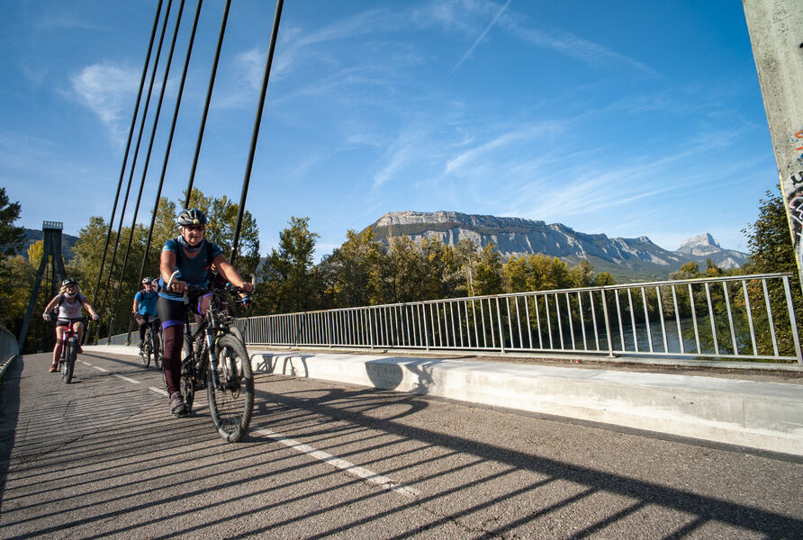
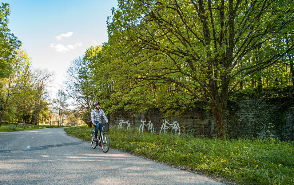
The last kilometer takes you back to your starting point, crossing the Isère once again via the Meylan footbridge. As soon as you start pedaling, you're on the old towpath. At the beginning of the last century, it was still used to pull barges along the Isère, either by hand or with the help of horses. On the other side of the river, you can take a number of poses in the parks along the way. When you finally cross the Meylan footbridge, turn around. You'll discover a splendid view of the foothills of the Chartreuse massif.
From the university swimming pool parking lot, join the greenway that runs alongside the Isère and head east for 3km.
Take the uphill path on your left, then turn right to cross the Sablon bridge and continue along the cycle path that runs alongside Avenue du Grand Sablon on your right.
At the traffic circle, take the first exit on the right, and follow the cycle path along Boulevard de la Chantourne on your left, then continue on the Chronovélo 100m further on.
Continue straight ahead on the Chronovélo along Avenue de Verdun.
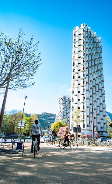
Still on the Chronovélo, take care as you cross avenue de Verdun to turn right onto avenue du Vercors, which becomes avenue du Granier 1.2km further on.
Leave the Chronovélo and cross avenue du Granier carefully to join the Chemin de Malacher cycle path on the right, which takes you over the A41 motorway 600m further on.
Turn right and pass under the N87, then turn left onto chemin de l'Île d'Amour. At the next junction, continue on the same road, turning right.
Cross the Isère river, taking the Passerelle de Meylan on your left, and return to your starting point by turning right onto Rue de la Passerelle.Equipments : Parking nearby, Admission fee : Free access.Opening : All year round. Subject to favorable weather.
From the university swimming pool parking lot, join the greenway that runs alongside the Isère and head east for 3km.
Take the uphill path on your left, then turn right to cross the Sablon bridge and continue along the cycle path that runs alongside Avenue du Grand Sablon on your right.
At the traffic circle, take the first exit on the right, and follow the cycle path along Boulevard de la Chantourne on your left, then continue on the Chronovélo 100m further on.
Continue straight ahead on the Chronovélo along Avenue de Verdun.
Still on the Chronovélo, take care as you cross avenue de Verdun to turn right onto avenue du Vercors, which becomes avenue du Granier 1.2km further on.
Leave the Chronovélo and cross avenue du Granier carefully to join the Chemin de Malacher cycle path on the right, which takes you over the A41 motorway 600m further on.
Turn right and pass under the N87, then turn left onto chemin de l'Île d'Amour. At the next junction, continue on the same road, turning right.
Cross the Isère river, taking the Passerelle de Meylan on your left, and return to your starting point by turning right onto Rue de la Passerelle.Equipments : Parking nearby, Admission fee : Free access.Opening : All year round. Subject to favorable weather.
Area : Grenoble-Alpes Métropole
Report a problem
Website Pdf file Pdf file Features of the application :
- Location and orientation on detailed maps thanks to the GPS of your smartphone
- Description of routes and points of interest on the route
- Photo gallery by route
- Detailed elevation profile
- Route tracking alert to warn you if you stray from the route
- Send predefined messages by SMS to your contacts
- Emergency module: trigger a call or send an emergency SMS in case of problem
- Agenda: access to events organized in the department
- News: find in the application the latest news on the web portal
- Adding achievements
- Add reports in case of problems encountered on the routes
- Share on social networks
Add your time and share your feelings
Services nearby

Medical science museum of Grenoble
La Tronche
Musée Hébert
La Tronche
Resistance Museum
Grenoble
Muséum de Grenoble
Grenoble
The Grenoble Museum of arts
Grenoble


Information updated on 2024-08-21 by Office de Tourisme Grenoble Alpes


Follow us on
the digital trails
the digital trails





The Isère Outdoor application was created
by the Département de l'Isère
Infos & contact
Conseil départemental de l'Isère
7 rue Fantin Latour
CS 41096
38 022 Grenoble cedex 1
Tel. 04 76 00 38 38
 Isère Outdoor - Parcours - Boucle vélo de Meylan
Hello, world! This is a toast message.
Isère Outdoor - Parcours - Boucle vélo de Meylan
Hello, world! This is a toast message.
Isère Outdoor - Parcours - Boucle vélo de Meylan
Hello, world! This is a toast message.




OK
Annuler